


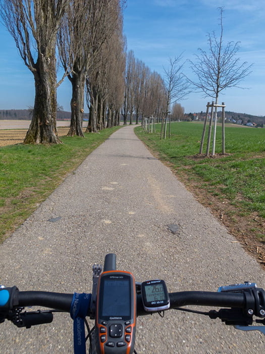
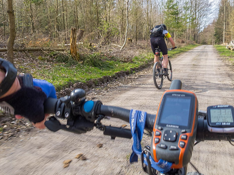
Die Strecke führt meist auf asphaltierten Wirtschaftswegen oder geschotterten Waldwegen entlang, ein paar wenige Straßenabschnitte sind auch dabei. Deshalb habe ich sie unter Trekkingbike eingestellt.
Gefahrene Strecke: Busenbach - Reichenbach - Palmbach - Thomashof - Kleinsteinbach - Pfinztal - Berghausen - Grötzimgen - Durlach (Treffen mit Reini) - Aue - Ettlingen - Graf-Rhena-Weg - Bad Herrenalb (Café) - Bernbach - Mahlberg (aber nicht ganz hinauf) - Völkersbach - Rimmelsbacher Hof - Schluttenbach - Waldsaum - Ettlingen (Eis) - Busenbach.
Further information at
http://www.velotouren.net/radtouren/touren/touren2015/rund-um-karlsruhe/ruka1512/Galería de rutas
Mapa de la ruta y perfil de altitud
Minimum height 126 m
Maximum height 553 m
More about the tour author
|
|
Moppedcarlo |
Comentarios

Tracks GPS
Puntos del track-
GPX / Garmin Map Source (gpx) download
-
TCX / Garmin Training Center® (tcx) download
-
CRS / Garmin Training Center® (crs) download
-
Google Earth (kml) download
-
G7ToWin (g7t) download
-
TTQV (trk) download
-
Overlay (ovl) download
-
Fugawi (txt) download
-
Kompass (DAV) Track (tk) download
-
Hoja de ruta (pdf) download
-
Original file of the author (gpx) download
More about the tour author
|
|
Moppedcarlo |
Add to my favorites
Remove from my favorites
Edit tags
Open track
Mi valoración
Rate