Login

Olvidaste tu contraseña?

Las cookies tienen que estar habilitadas!
Las cookies no están habilitadas en tu navegador. Por favor, modifica la configuración antes de continuar.

Not a member yet?

Register now
Login

Available for registred users only

Log in to use this feature.

Olvidaste tu contraseña?

Las cookies tienen que estar habilitadas!
Las cookies no están habilitadas en tu navegador. Por favor, modifica la configuración antes de continuar.

Not a member yet?

Register now
Filtro
Categorías
Advanced filters
  • Distancia (km)
  • Altitud en metros
Guardar filtro Reset filter

TrackRank

QRCode

Technical data

Distancia11,1 km Altitud en metros853 m Descenso865 m Duración04:30 h:m Fecha23.06.2015
Valoraciones Autor Paisaje Diversión Condición Técnica

Estadística

241 Visitas Valoraciones 13 Descargas Promedio
Rate
  • Hoja de ruta
  • Punto de partida
  • Descargas
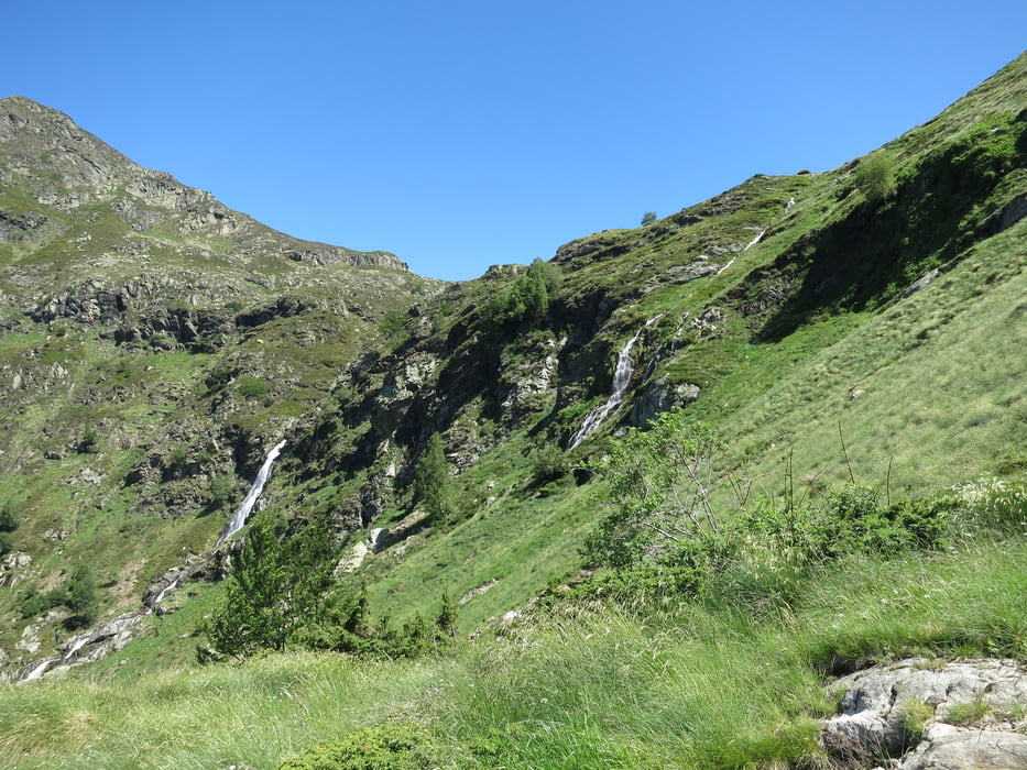
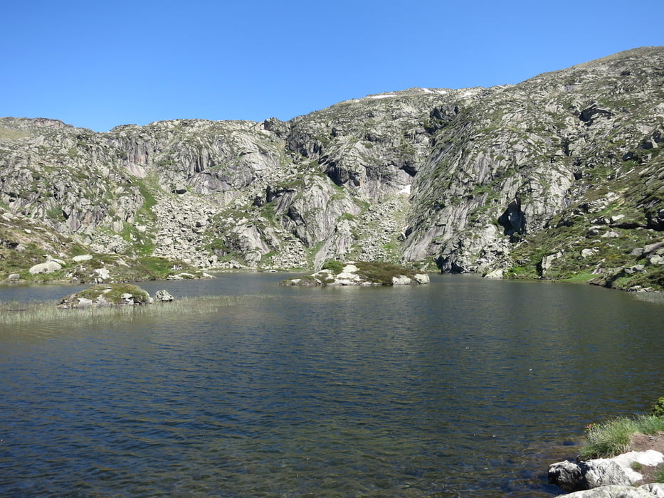
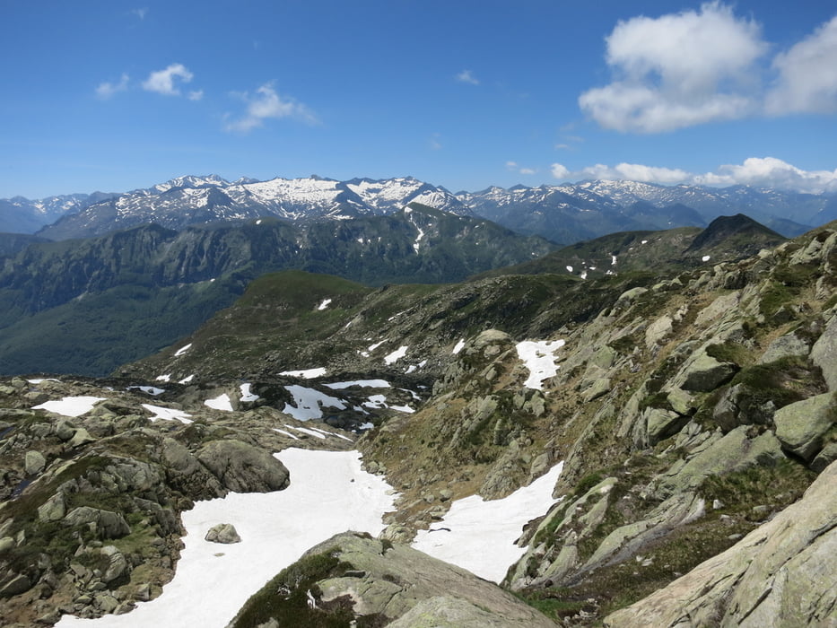
The tour starts with a nice path next to waterfalls and beautiful nature up to a little lake. Then the hike becomes more difficult and a little rock climbing (but still hiking!) is necessary. The ascend to the peak is the most difficult, but fun, part. The descend is easier because it makes a loop along the mountains ridge and down on an easy path. Overall a very nice hike that contains many different aspects of hiking (beauty, rocks, climbing, lake, waterfalls, cool peak). 

Galería de rutas

Mapa de la ruta y perfil de altitud

  • Open Street Map
  • Google
Minimum height 1364 m Maximum height 2174 m Vista detallada

More about the tour author

lonest4r
Member since 2014

Send private message

Comentarios

Tracks GPS

Puntos del track
  • GPX / Garmin Map Source (gpx) download
  • TCX / Garmin Training Center® (tcx) download
  • CRS / Garmin Training Center® (crs) download
  • Google Earth (kml) download
  • G7ToWin (g7t) download
  • TTQV (trk) download
  • Overlay (ovl) download
  • Fugawi (txt) download
  • Kompass (DAV) Track (tk) download
  • Hoja de ruta (pdf) download
  • Original file of the author (gpx) download

More about the tour author

lonest4r
Member since 2014

Send private message
Share track
Add to my favorites
Remove from my favorites
Edit tags
Mi valoración
Rate
Ruta: Pic des Trois Seigneurs
Tipo: Excursión por la montaña
Distancia: 11,1 km
valorizado al:
Duración:
Day(s)
Hour(s)
Minute(s)
Valoración: Paisaje Diversión Condición Técnica