


A U S D A U E R
anfangen ist leicht
Durchhalten eine Kunst
1.Etappentag
Sulzfeld bis Leutkirch im Allgäu
233 Km und einer Fahrzeit von 9:37 Stunden, 2766m Anstieg
http://www.brauereigasthofmohren.de
2.Etappentag
Leutkirch im Allgäu bis Sölden
197 Km und einer Fahrzeit von 8:14 Stunden, 2792m Anstieg
http://www.hotelrosengarten.at
3.Etappentag
Sölden bis Bozen
132 Km und einer Fahrzeit von 6:43 Stunden, 2866m Anstieg
http://www.schlosshof-castello.it
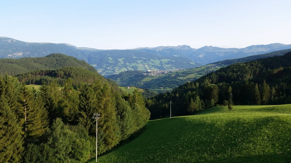
4. Etappentag
Prato All'isarco, Trentino-Alto Adige, Italy
bis Kastelruth
22 Km und einer Fahrzeit von 1:30 Stunden, 955m Anstieg
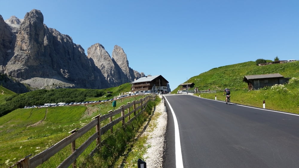
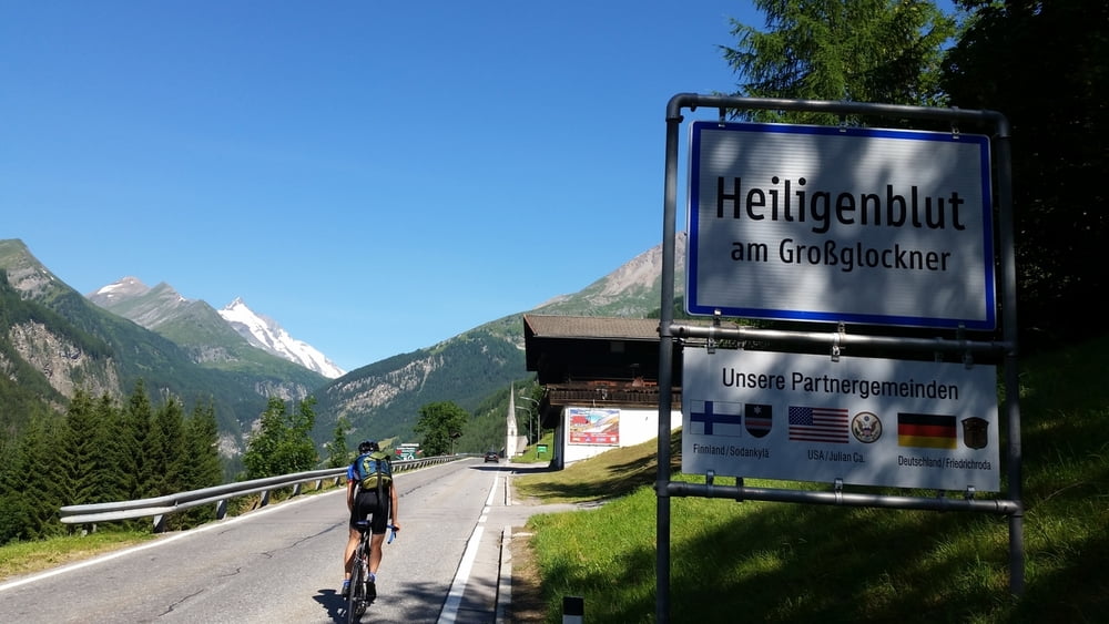
5.Etappentag
Kastelruth - St. Michael bis Iselsberg
165Km und einer Fahrzeit von 7:43 Stunden, 3174m Anstieg
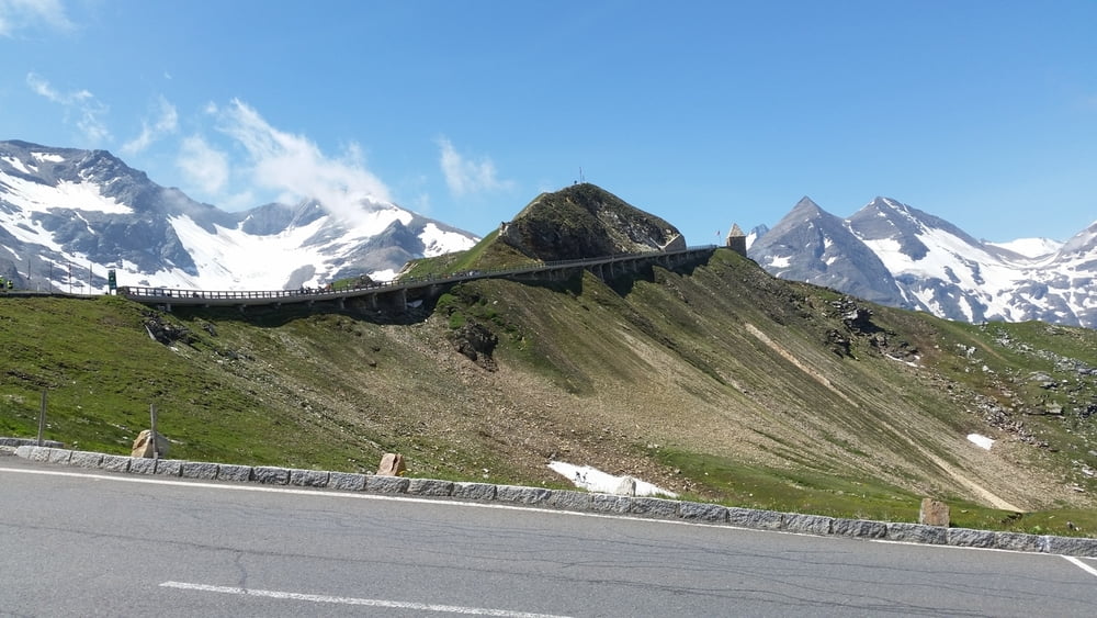
6.Etappentag
Iselsberg bis Kufstein
174Km und einer Fahrzeit von 7:55 Stunden, 2759m Anstieg
7.Etappentag
Vorderthiersee bis Thannhausen
197Km und einer Fahrzeit von 8:05 Stunden, 1539m Anstieg
8.Etappentag
Thannhausen bis Sulzfeld
210 Km und einer Fahrzeit von 8:31 Stunden, 1934m Anstieg.
Abendteuer 2015
Further information at
http://www.rsv-sulzfeld.deGalería de rutas
Mapa de la ruta y perfil de altitud
Minimum height 165 m
Maximum height 2499 m
More about the tour author
|
|
Stefan68 |
Comentarios

mit dem Rennrad und dem Rucksack
Tracks GPS
Puntos del track-
GPX / Garmin Map Source (gpx) download
-
TCX / Garmin Training Center® (tcx) download
-
CRS / Garmin Training Center® (crs) download
-
Google Earth (kml) download
-
G7ToWin (g7t) download
-
TTQV (trk) download
-
Overlay (ovl) download
-
Fugawi (txt) download
-
Kompass (DAV) Track (tk) download
-
Hoja de ruta (pdf) download
-
Original file of the author (gpx) download
More about the tour author
|
|
Stefan68 |
Add to my favorites
Remove from my favorites
Edit tags
Open track
Mi valoración
Rate