


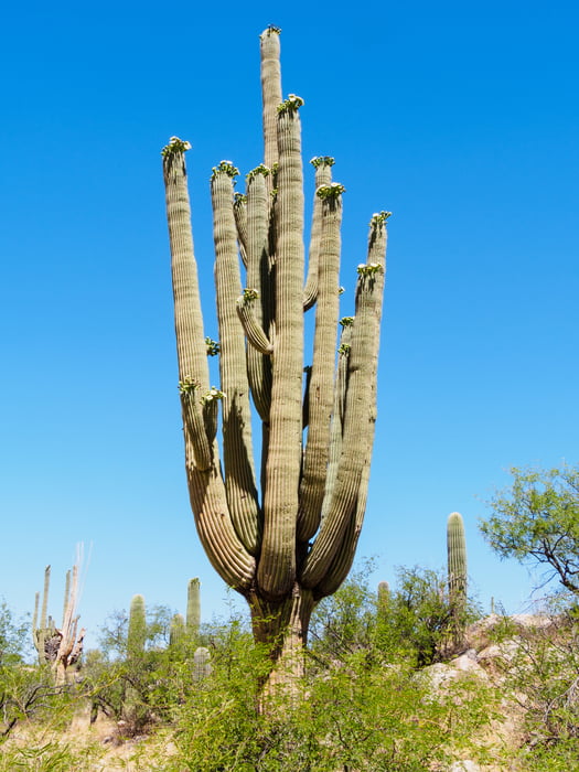
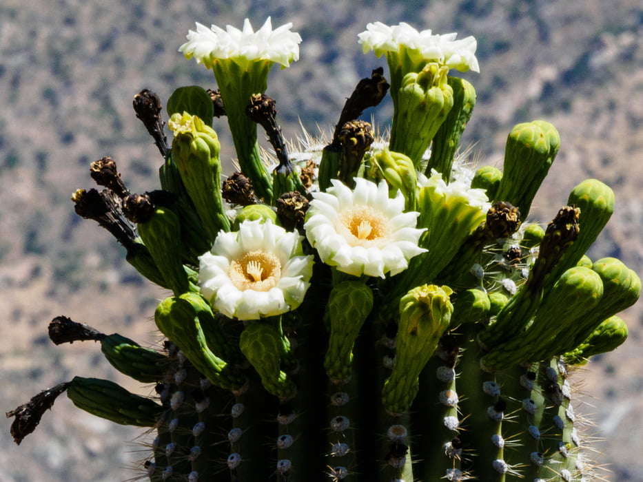
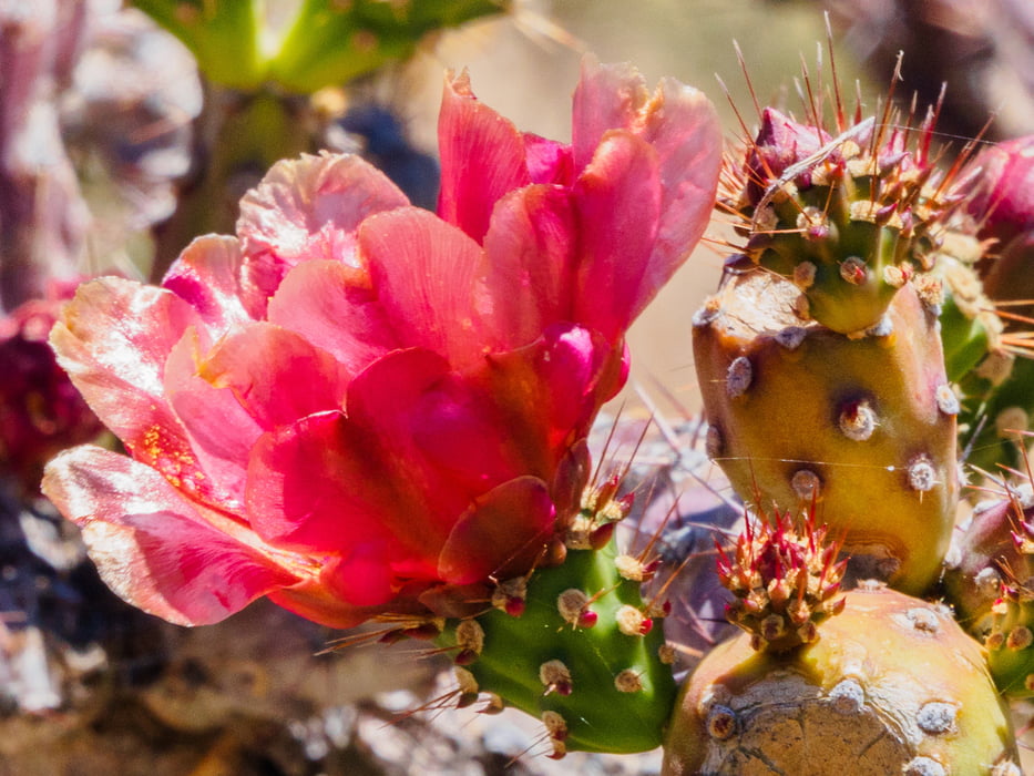
Catalina State Park sits at the base of the majestic Santa Catalina Mountains. The park is a haven for desert plants and wildlife and nearly 5,000 saguaros. The 5,500 acres of foothills, canyons and streams invites camping, picnicking and bird watching — more than 150 species of birds call the park home. The park provides miles of equestrian, birding, hiking, and biking trails which wind through the park and into the Coronado National Forest at elevations near 3,000 feet. The park is located within minutes of the Tucson metropolitan area.
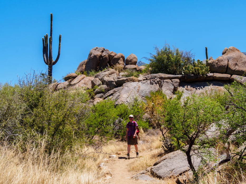
Unsere knapp 16km lange Rundtour beginnt am östlichen Trailhead. Zunächst folgen wir dem Canyon Loop Trail, dann dem Sutherland Trail nach Osten. An einem felsigen Wash geht es erst durch ein Gatter nach rechts bevor wir nach links durch den Wash gehen. Hier auf Steinmännchen achten. Der Sutherland Trail-Abschnitt windet sich schmal und abwechslungsreich zum höchsten Punkt unserer Runde hinauf. Dann geht es nach links auf dem Trail Link wieder abwärts. Dieser "Weg" ist auf den ersten 2 km eine Mischung aus Schotterpiste und Wash. Dann geht es weiter auf einer Sandpiste. Nach gut 3 km biegen wir scharf nach links auf einen schmalen Pfad ab, der sich langsam den Berg hochschlängelt. Auf dem Bergrücken bieteten sich schöne Aussichten auf die Santa Catalina Mountains mit dem 2791 m hohen Mt. Lemmon. Dem 50-year Trail folgen wir ein ganzes Stück bis er auf eine Schotterpiste trifft, die dann in den Bridle Trail übergeht. Dieser Trail ist wieder sehr sandig.
Galería de rutas
Mapa de la ruta y perfil de altitud
Minimum height 809 m
Maximum height 1026 m
More about the tour author
|
|
ds5 |
Comentarios

Catalina SP
11570 N. Oracle Rd
Tucson, AZ 85737
Von Tucson fährt man nordwärts Richtung Oracle.
Fee: 7$ (anuall pass ist hier nicht gültig)
Tracks GPS
Puntos del track-
GPX / Garmin Map Source (gpx) download
-
TCX / Garmin Training Center® (tcx) download
-
CRS / Garmin Training Center® (crs) download
-
Google Earth (kml) download
-
G7ToWin (g7t) download
-
TTQV (trk) download
-
Overlay (ovl) download
-
Fugawi (txt) download
-
Kompass (DAV) Track (tk) download
-
Hoja de ruta (pdf) download
-
Original file of the author (gpx) download
More about the tour author
|
|
ds5 |
Add to my favorites
Remove from my favorites
Edit tags
Open track
Mi valoración
Rate