


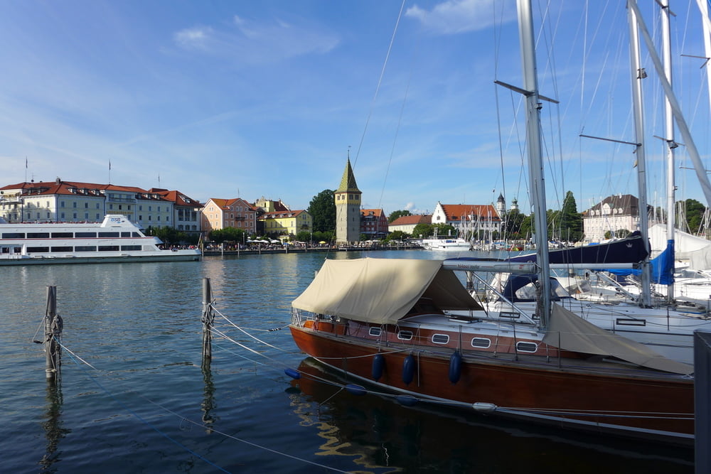
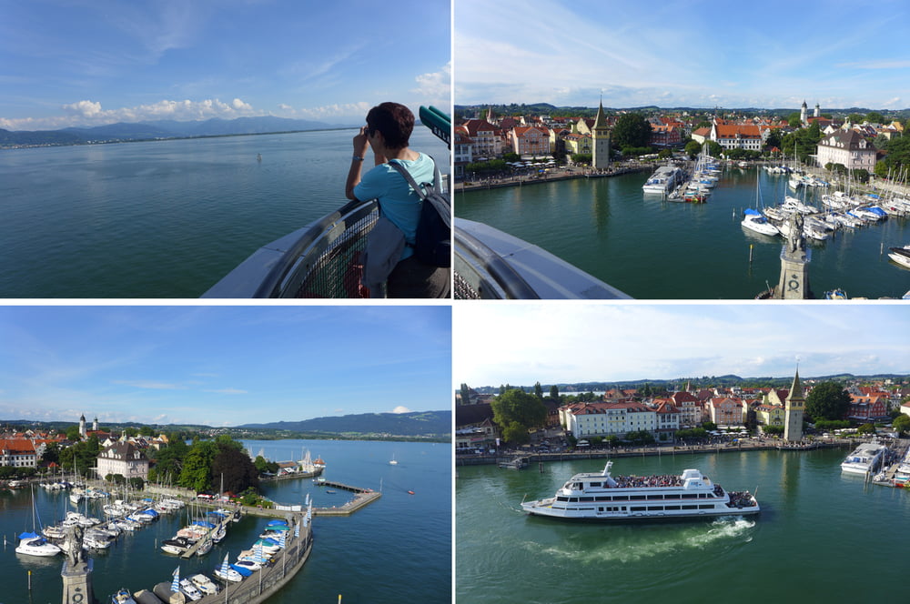
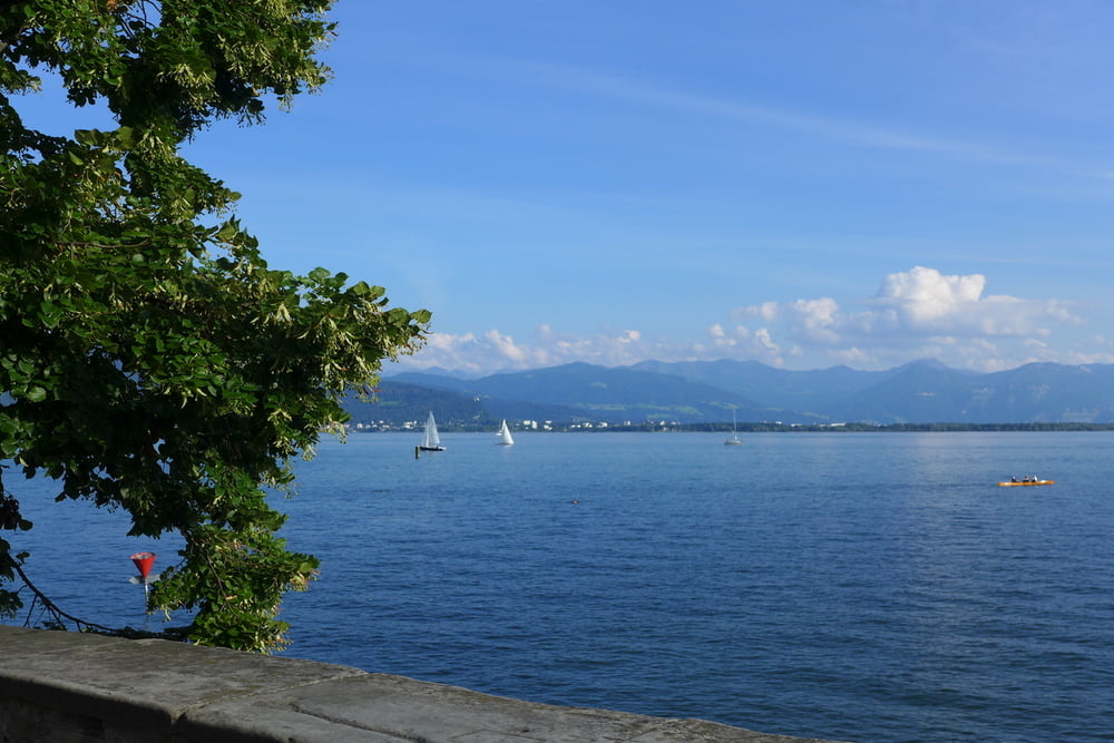
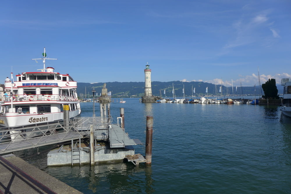
bei der Reise in den Süden ist ein Zwischenstopp in Lindau allemal sinnvoll. Auf diese Idee kommen freilich viele und die Hotels sind entsprechend teuer. Wir haben im Reutiner Hof eingecheckt, welcher in Laufnähe zur Insel liegt. Dieser ist ohne weiteres bezahlbar, wenn auch nicht billig und keinesfalls preiswert Aber die Laufnähe zur Insel ist halt auch geldwert. Auf der Insel gibt es einen Rundgang mit vielen Seezugängen und zahlreichen Aussichtspunkten (Fernglas nicht vergessen!!). Die Besteigung des Leuchtturms kostete anno 2016 schlappe 2 Euro. Auch das Inselinnere sollte man nicht vergessen. Wir haben übrigens im La Fortana gespeist. :-)
Further information at
http://www.lindau.de/Galería de rutas
Mapa de la ruta y perfil de altitud
Minimum height 399 m
Maximum height 437 m
More about the tour author
|
|
Saxoniaradler |
Comentarios

Tracks GPS
Puntos del track-
GPX / Garmin Map Source (gpx) download
-
TCX / Garmin Training Center® (tcx) download
-
CRS / Garmin Training Center® (crs) download
-
Google Earth (kml) download
-
G7ToWin (g7t) download
-
TTQV (trk) download
-
Overlay (ovl) download
-
Fugawi (txt) download
-
Kompass (DAV) Track (tk) download
-
Hoja de ruta (pdf) download
-
Original file of the author (gpx) download
More about the tour author
|
|
Saxoniaradler |
Add to my favorites
Remove from my favorites
Edit tags
Open track
Mi valoración
Rate