


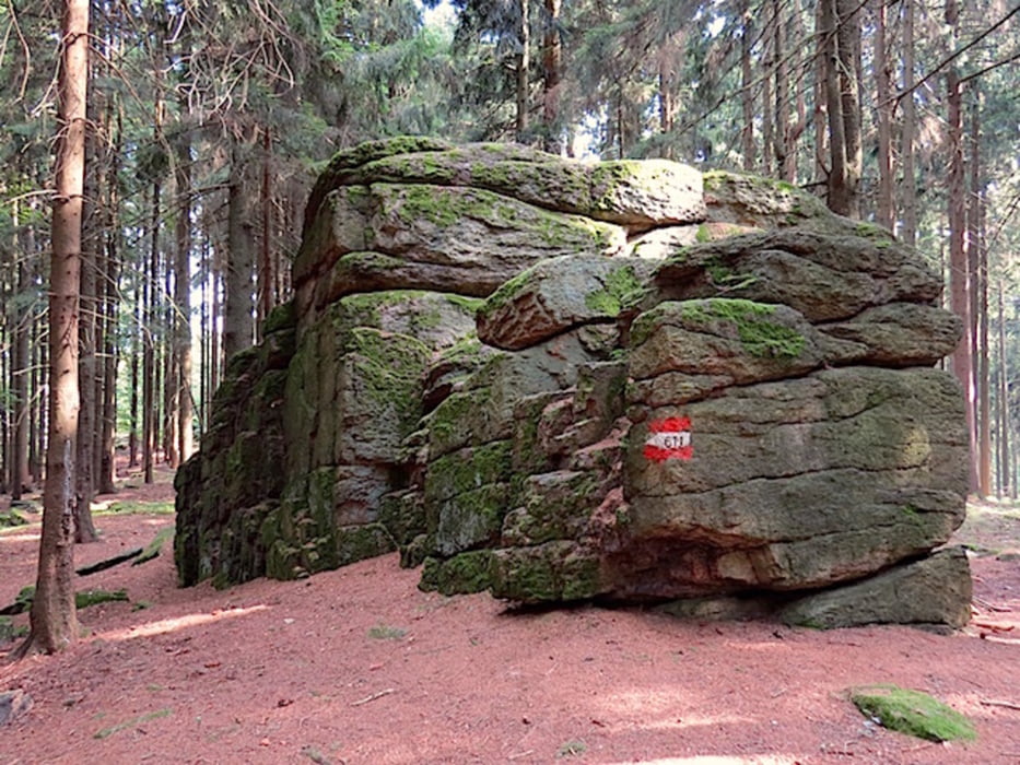
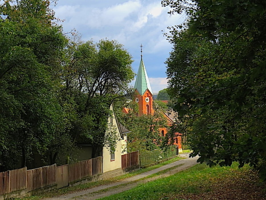
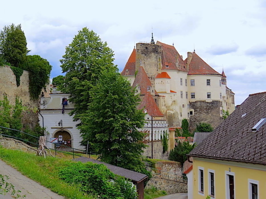
Der siebente und letzte Teil des Kuenringerweges 611 führt uns von der Bründlkapelle über den Predigtstuhl nach Weinern und schließlich nach Raabs an der Thaya.
Bei der Bründlkapelle überqueren wir die Bundesstraße von Waidhofen/Thaya nach Groß Siegharts, gehen etwa 150 Meter nach rechts und biegen dann links in den Wald ab. Der stets gut markierte Weg führt durch den Wald auf den Predigtstuhl. Von hier geht es Richtung Wienings und weiter nach Weinern. Etwa parallel zur Bundesstraße wandern wir weiter entlang des Waldrandes bis Raabs an der Thaya, dem Endes des Kuenringerweges.
Mehr Info und Deine Meinung in meinem Wanderblog - schau doch mal vorbei!
Wanderführer „Kuenringerweg 611“ Herausgeber: Österreichischer Alpenverein, Sektion Waldviertel
Karten:
Austria Map Ost (BEV)
Wander-, Rad- und Freizeitkarte WK072, WK0111 1:50.000, herausgegeben von Freytag & Berndt
ÖK50-UTM 4310 Zwettl, 4311 Horn, 4305 Raabs
Further information at
http://www.zwalk.at/Galería de rutas
Mapa de la ruta y perfil de altitud
Minimum height 434 m
Maximum height 709 m
More about the tour author
|
|
Jonny |
Comentarios

Per Auto
• nördlich Waidhofen/Thaya Richtung Göpfritz/Wild, Groß Siegharts Richtung Waidhofen/Thaya
• westlich von Groß Gerungs bis nach Zwettl, Waidhofen/Thaya Richtung Groß Siegharts
• südlich Westautobahn A1 Abfahrt Ybbs, Würnsdorf, Ottenschlag, Zwettl, Waidhofen/Thaya Richtung Groß Siegharts
Tracks GPS
Puntos del track-
GPX / Garmin Map Source (gpx) download
-
TCX / Garmin Training Center® (tcx) download
-
CRS / Garmin Training Center® (crs) download
-
Google Earth (kml) download
-
G7ToWin (g7t) download
-
TTQV (trk) download
-
Overlay (ovl) download
-
Fugawi (txt) download
-
Kompass (DAV) Track (tk) download
-
Hoja de ruta (pdf) download
-
Original file of the author (gpx) download
More about the tour author
|
|
Jonny |
Add to my favorites
Remove from my favorites
Edit tags
Open track
Mi valoración
Rate