


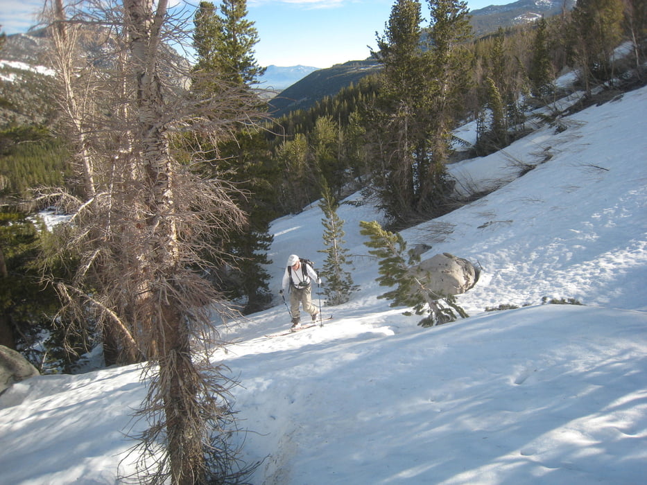
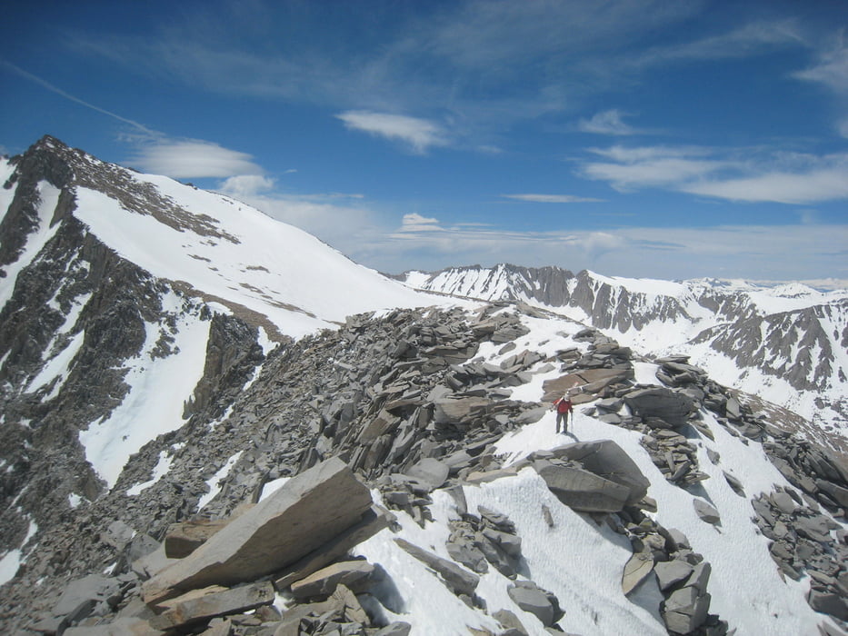
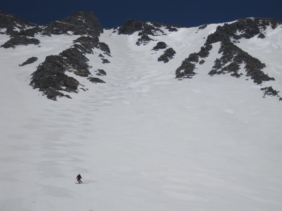
Von der Rock Creek lodge zu Wiese und die Waldstude empor. Nun etwas unübersichtlich lange relativ flach nach Süden, Im leicht gestuften Gelände, nicht zu weit rechts haltend in mehreren Stufen empor. Zuletzt steil zum Gipfel. Die letzten Meter zu Fuß über leichtes Blockgelände empor. Großartige Aussicht. Abfahrt wie Abstieg oder, so wie wir nach dem Gipfelhang rechts halten und kurzer Wiederaufstieg bis zu einer der Rinnen die links hinabziehen. Am Besten schon im Aufstieg die beste Rinne aussuchen und die Einfahrt merken. Bei der Abfahrt der Geländeform folgen, ungefähr wie Aufstieg.
Galería de rutas
Mapa de la ruta y perfil de altitud
Minimum height 2865 m
Maximum height 4162 m
More about the tour author

|
Gi |
Comentarios

Von Bishop auf der der Rt. 395 nach Norden. Bei Toms place nach links auf die Rock Creek Road abzweigen. Nicht bis zum Ende der Straße fahren, sondern bei der Abzweigung zur Rock Creek lodge parken.
Tracks GPS
Puntos del track-
GPX / Garmin Map Source (gpx) download
-
TCX / Garmin Training Center® (tcx) download
-
CRS / Garmin Training Center® (crs) download
-
Google Earth (kml) download
-
G7ToWin (g7t) download
-
TTQV (trk) download
-
Overlay (ovl) download
-
Fugawi (txt) download
-
Kompass (DAV) Track (tk) download
-
Hoja de ruta (pdf) download
-
Original file of the author (gpx) download
More about the tour author
|
|
Gi |
Add to my favorites
Remove from my favorites
Edit tags
Open track
Mi valoración
Rate