Login

Olvidaste tu contraseña?

Las cookies tienen que estar habilitadas!
Las cookies no están habilitadas en tu navegador. Por favor, modifica la configuración antes de continuar.

Not a member yet?

Register now
Login

Available for registred users only

Log in to use this feature.

Olvidaste tu contraseña?

Las cookies tienen que estar habilitadas!
Las cookies no están habilitadas en tu navegador. Por favor, modifica la configuración antes de continuar.

Not a member yet?

Register now
Filtro
Categorías
Advanced filters
  • Distancia (km)
  • Altitud en metros
Guardar filtro Reset filter

TrackRank

QRCode

Technical data

Distancia38,3 km Altitud en metros1720 m Descenso1470 m Duración05:00 h:m Fecha03.09.2017
Valoraciones Autor Paisaje Diversión Condición Técnica

Estadística

358 Visitas Valoraciones 41 Descargas Promedio
Rate
  • Hoja de ruta
  • Punto de partida
  • Descargas

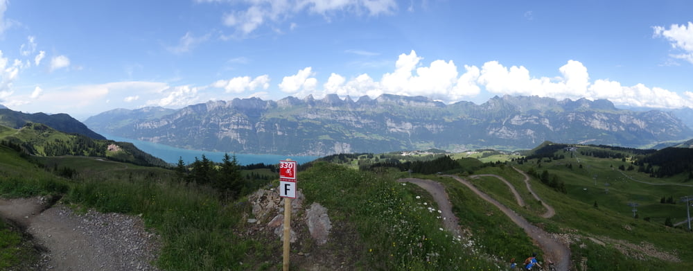
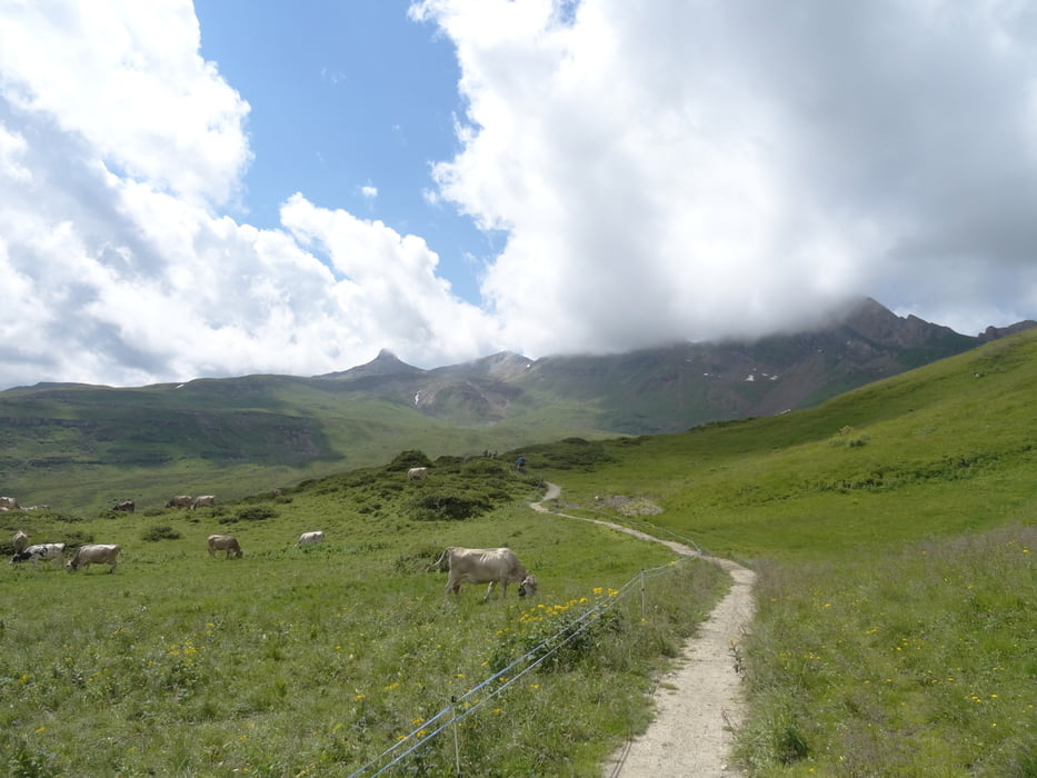
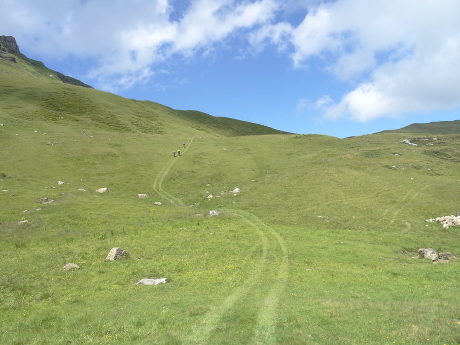
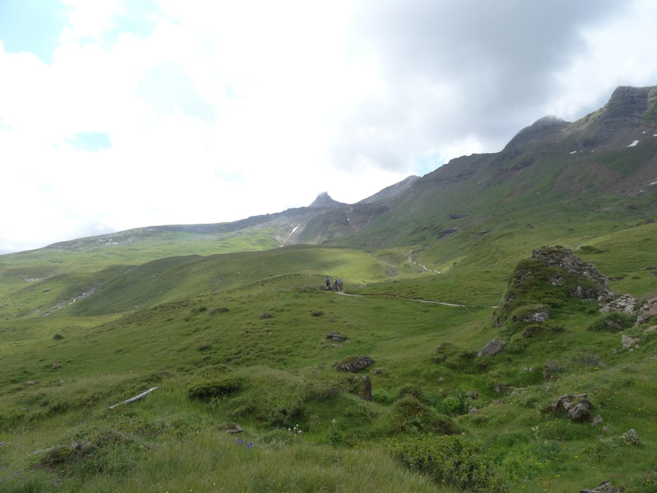
Tour vom unteren Lift in Flumserberg auf die SAC Hütte und zurück über neue angelegte Trails.

Der Anstieg nach der SAC Hütte direttisnma kann auf Güterweg umfahren werden. Einfach auf Güterweg weiterfahren statt steil hoch. Mit ebike eine recht nette Tour. Wer Energie hat kann noch zum Wissmillen hoch (+300hm, der rechte markierte Weg an SAC Hütte, schwer zu sehen -siehe Murgsee- Wissmillentour).

Schwierigkeit meist S1-S2, etwas S3


Bilder später

Galería de rutas

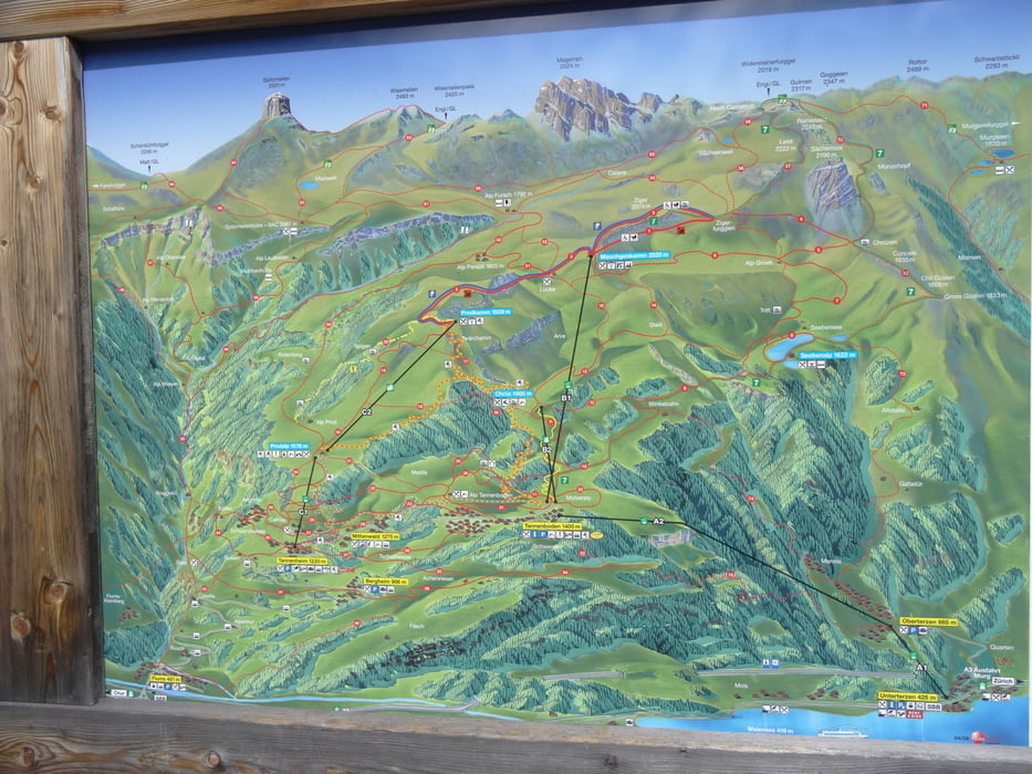
Mapa de la ruta y perfil de altitud

  • Open Street Map
  • Google
Minimum height 1145 m Maximum height 2116 m Vista detallada

More about the tour author

skyhopper
Member since 2005

Send private message

Comentarios

parken am Tennisplatz / am unteren Lift.

Tracks GPS

Puntos del track
  • GPX / Garmin Map Source (gpx) download
  • TCX / Garmin Training Center® (tcx) download
  • CRS / Garmin Training Center® (crs) download
  • Google Earth (kml) download
  • G7ToWin (g7t) download
  • TTQV (trk) download
  • Overlay (ovl) download
  • Fugawi (txt) download
  • Kompass (DAV) Track (tk) download
  • Hoja de ruta (pdf) download
  • Original file of the author (gpx) download

More about the tour author

skyhopper
Member since 2005

Send private message
Share track
Add to my favorites
Remove from my favorites
Edit tags
Mi valoración
Rate
Ruta: SAC Hütte Flumserberg
Tipo: Bicicletas de montaña
Distancia: 38,3 km
valorizado al:
Duración:
Day(s)
Hour(s)
Minute(s)
Valoración: Paisaje Diversión Condición Técnica