
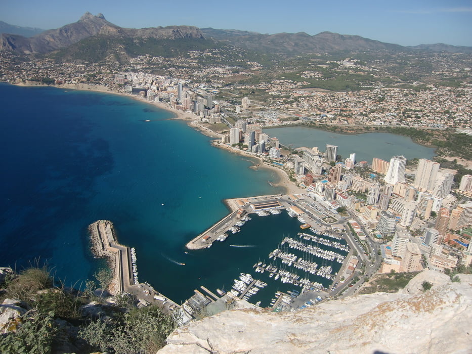

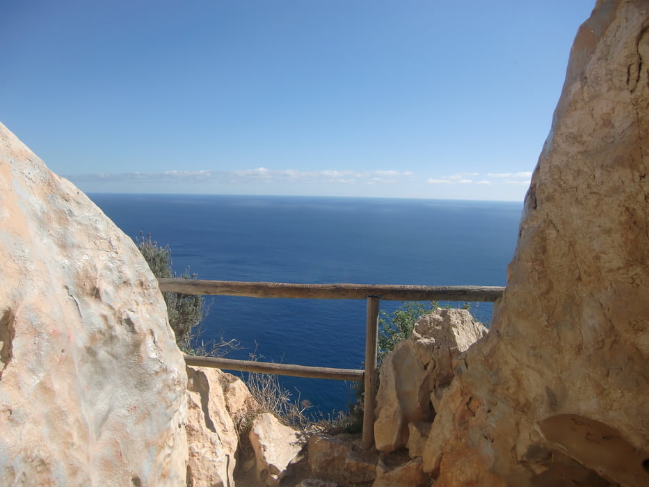
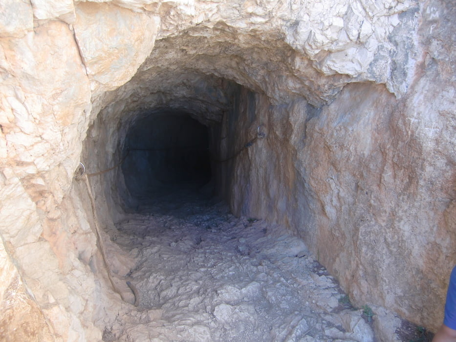
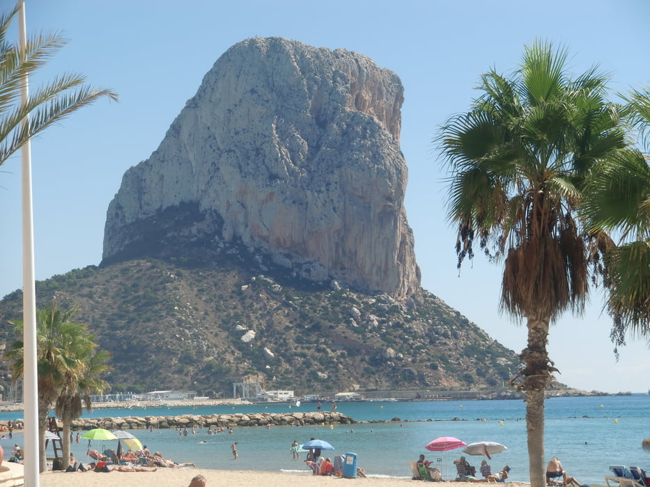
Die Tour führt auf das Wahrzeichen von Calpe. Vom Gipfel (327 m) hat man eine herrliche Aussicht auf den Ort. Eine Wegbeschreibung ist überflüssig. Der Wegverlauf ist eindeutig. Oberhalb des Hafens ist der Einstieg. Für die Besteigung ist festes Schuhwerk erforderlich!
Galería de rutas
Mapa de la ruta y perfil de altitud
Minimum height 33 m
Maximum height 330 m
More about the tour author

|
ruf_markus |
Comentarios

Tracks GPS
Puntos del track-
GPX / Garmin Map Source (gpx) download
-
TCX / Garmin Training Center® (tcx) download
-
CRS / Garmin Training Center® (crs) download
-
Google Earth (kml) download
-
G7ToWin (g7t) download
-
TTQV (trk) download
-
Overlay (ovl) download
-
Fugawi (txt) download
-
Kompass (DAV) Track (tk) download
-
Hoja de ruta (pdf) download
-
Original file of the author (gpx) download
More about the tour author
|
|
ruf_markus |
Add to my favorites
Remove from my favorites
Edit tags
Open track
Mi valoración
Rate