


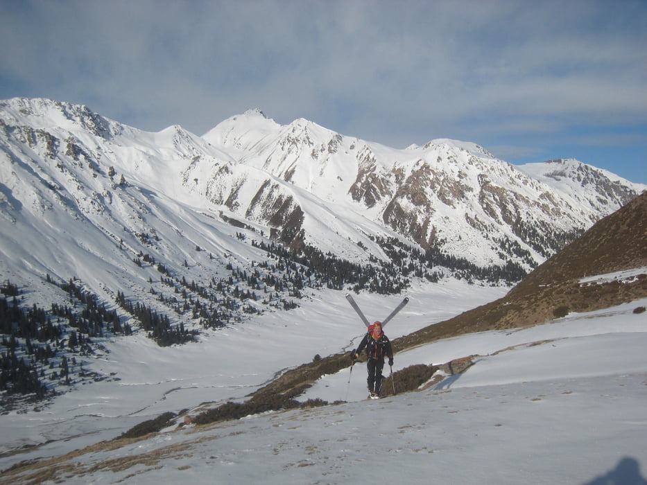
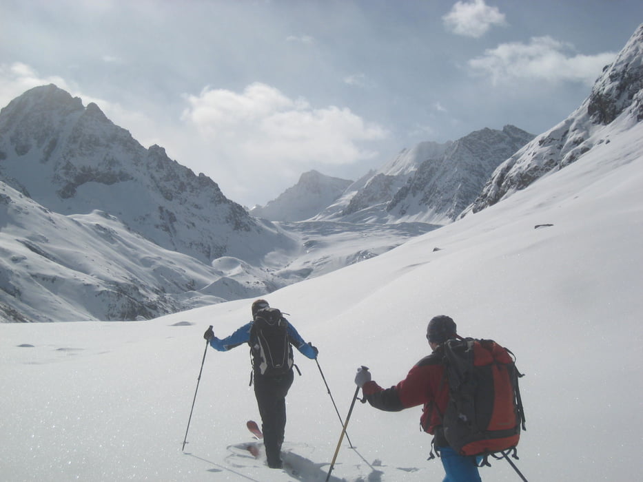
Zuerst mit dem Skidoo das Ak-suu Tal bis auf 2800 m hinauf ziehen lassen. Hier den linken Ast über eine steile Stufe empor und dann durchs weite Tal aufwärts. Links an der Gletscherzunge vorbei und nach einer steileren Stufe auf den Gletscher. Links haltend über den Gletscher und eine Rinne soweit wie möglich hinauf.
Zustiegsfoto siehe Tour #167562, Ak-Suu Gletscher
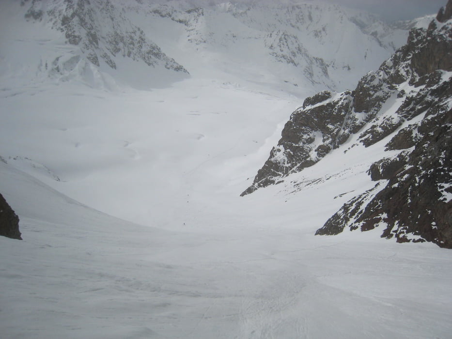
Abfahrt wie Aufstieg
Warnung: wir hatten im Internet von der Schwimmschneeproblematik in Kirgistan gelesen, aber gehofft dass dies Einzelfälle waren. Wir können nun bestätigen dass die Schneebrettgefahr wirklich extrem hoch ist! Massiver Schwimmschnee im unteren Teil, aber die einzige Tour in der Gegend bei der wir kein Schneebrett auslösten!
Galería de rutas
Mapa de la ruta y perfil de altitud
Minimum height 2638 m
Maximum height 4186 m
More about the tour author

|
Gi |
Comentarios

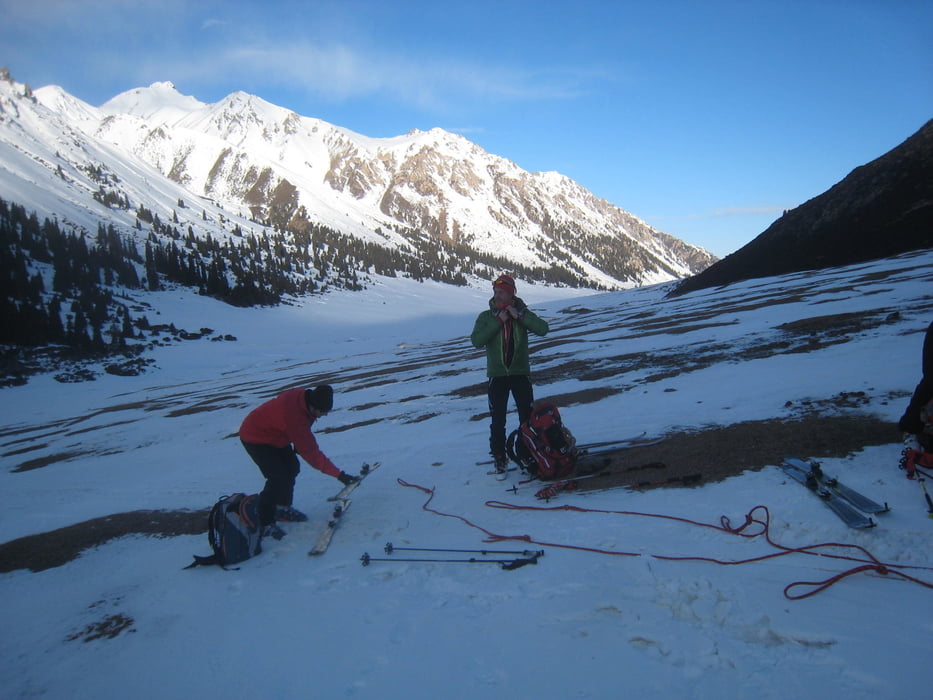
Von Karakol nach Aksuu ans Ortsende dem Bach entlang. Vonhier entweder mit skidoo, Pferden oder auf ski zu Fuß ins Jurtenlager auf 2650m Höhe
Tracks GPS
Puntos del track-
GPX / Garmin Map Source (gpx) download
-
TCX / Garmin Training Center® (tcx) download
-
CRS / Garmin Training Center® (crs) download
-
Google Earth (kml) download
-
G7ToWin (g7t) download
-
TTQV (trk) download
-
Overlay (ovl) download
-
Fugawi (txt) download
-
Kompass (DAV) Track (tk) download
-
Hoja de ruta (pdf) download
-
Original file of the author (gpx) download
More about the tour author
|
|
Gi |
Add to my favorites
Remove from my favorites
Edit tags
Open track
Mi valoración
Rate