


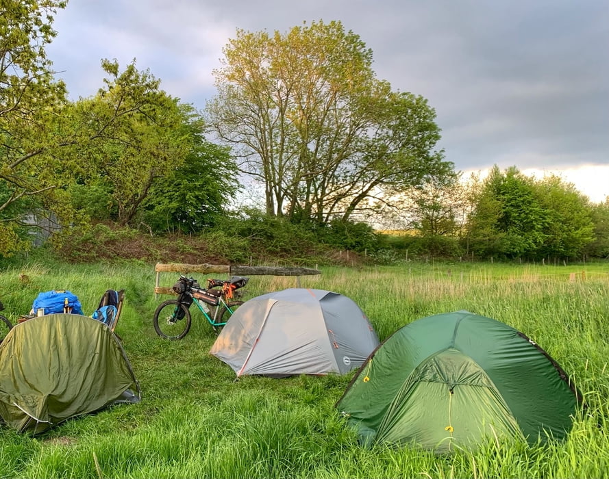
Los geht's in Hamburg Lemsahl mit dem Bikepacking Abenteuer. Ziel ist der Wildcampingplatz Blomnath, geht aber nur mit Reservierung. Unter www.wildes-sh.de findet man weitere Infos.
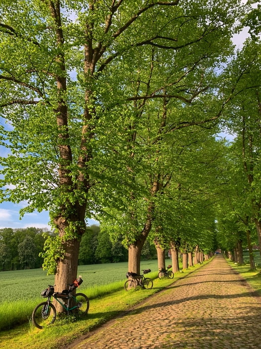
Lemsahl - Wittmoor - Tagstedter Forst - Tangstedt - Kayhude - Gut Stegen - Nienwohlder Moor - Borstel - Heiderfeldtrail - Leezener Au - Kükels - Leezener Seetrail - Högersdorf Travebrücke - Rewe in Bad Segeberg (Einkauf) Kalkberg - Segeberger See - Quaal - Wardersee - Blomnath nach ca 77 km waren wir am Ziel
am nächsten Morgen geht's weiter:
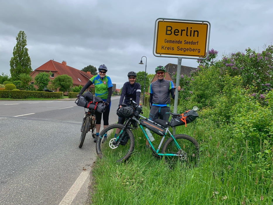
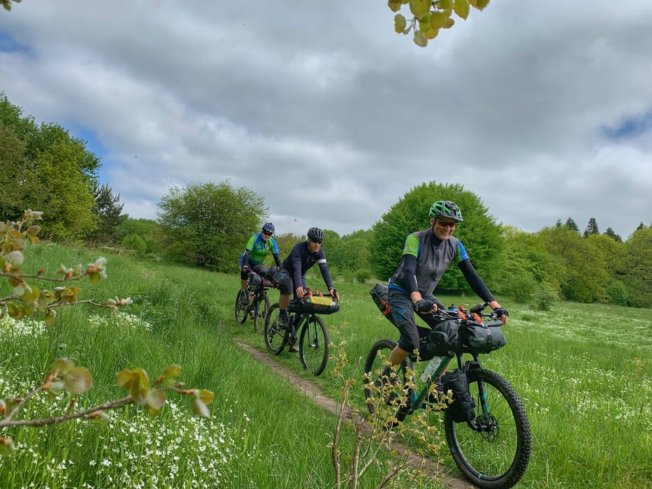
Blomnath - Berlin - Passopp - Grabek - Müssen - Krems II - Travetrails - SE - Högersdorf Travebrücke - Mözen (Hofcafe) - Schwissel - Bebensee - Tralau - Klingberg - Sülfeld - Gräberkate - Wilhelm - Brook - Duvenstedt - Lemsahl
Further information at
http://www.wildes-sh.deGalería de rutas
Mapa de la ruta y perfil de altitud
Minimum height -34 m
Maximum height 67 m
More about the tour author
|
|
hegi |
Comentarios

Parken kann man in Hamburg Lemsahl in den Wohngegenden!
Tracks GPS
Puntos del track-
GPX / Garmin Map Source (gpx) download
-
TCX / Garmin Training Center® (tcx) download
-
CRS / Garmin Training Center® (crs) download
-
Google Earth (kml) download
-
G7ToWin (g7t) download
-
TTQV (trk) download
-
Overlay (ovl) download
-
Fugawi (txt) download
-
Kompass (DAV) Track (tk) download
-
Hoja de ruta (pdf) download
-
Original file of the author (gpx) download
More about the tour author
|
|
hegi |
Add to my favorites
Remove from my favorites
Edit tags
Open track
Mi valoración
Rate