Login

Olvidaste tu contraseña?

Las cookies tienen que estar habilitadas!
Las cookies no están habilitadas en tu navegador. Por favor, modifica la configuración antes de continuar.

Not a member yet?

Register now
Login

Available for registred users only

Log in to use this feature.

Olvidaste tu contraseña?

Las cookies tienen que estar habilitadas!
Las cookies no están habilitadas en tu navegador. Por favor, modifica la configuración antes de continuar.

Not a member yet?

Register now
Filtro
Categorías
Advanced filters
  • Distancia (km)
  • Altitud en metros
Guardar filtro Reset filter

TrackRank

QRCode

Technical data

Distancia6,8 km Altitud en metros226 m Descenso224 m Duración02:05 h:m Fecha27.07.2022
Valoraciones Autor Paisaje Diversión Condición Técnica

Estadística

245 Visitas Valoraciones 5 Descargas Promedio
Rate
  • Hoja de ruta
  • Punto de partida
  • Descargas

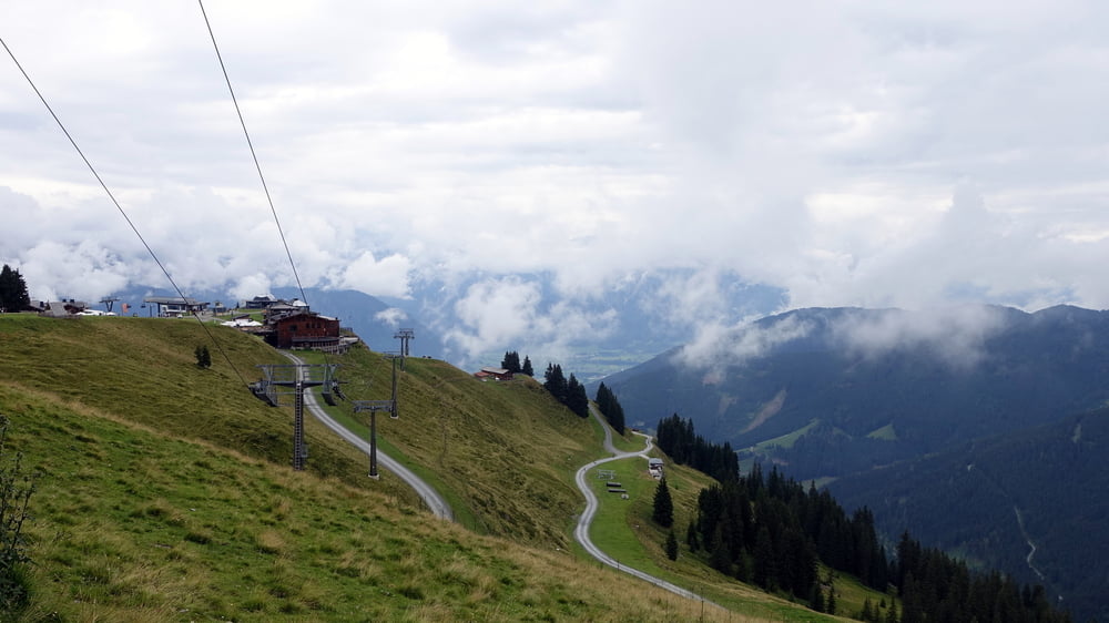
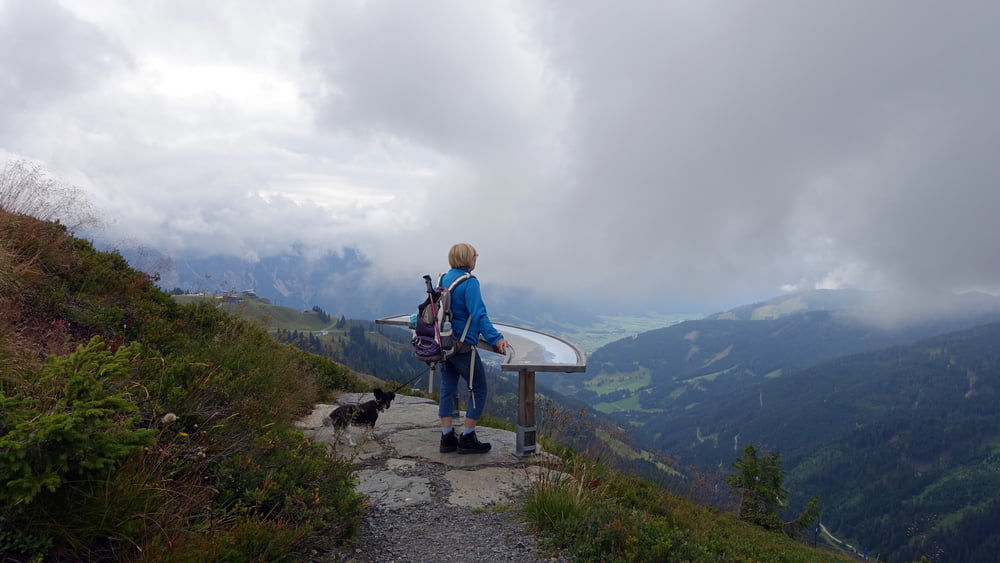
Von der Bergstation der Steinbergbahn über Geierkogel (1853 m) und Schabergkogel (1888 m) zum Großen Asitz (1914 m). Auch für Familien mit Kindern geeignet.

Hinweise: Leichte Wandertour.

Start/Ziel: Bergstation Steinbergbahn

Markierung: „Panoramaweg“ mit Abstecher zum Geierkogel

Route: Bergstation Steinbergbahn – Panoramaweg – Geierkogel – Saalachtaler Höhenweg – Schabergkogel – Großer Asitz – Bergstation Steinbergbahn

Einkehrmöglichkeit: „Alte Schmiede“ am Asitz

POI: Geierkogel, Schabergkogel, Naturkino, Großer Asitz

Galería de rutas

Mapa de la ruta y perfil de altitud

  • Open Street Map
  • Google
Minimum height 1748 m Maximum height 1913 m Vista detallada

More about the tour author

ejee
Member since 2019

Send private message

Comentarios

Tracks GPS

Puntos del track
  • GPX / Garmin Map Source (gpx) download
  • TCX / Garmin Training Center® (tcx) download
  • CRS / Garmin Training Center® (crs) download
  • Google Earth (kml) download
  • G7ToWin (g7t) download
  • TTQV (trk) download
  • Overlay (ovl) download
  • Fugawi (txt) download
  • Kompass (DAV) Track (tk) download
  • Hoja de ruta (pdf) download
  • Original file of the author (gpx) download

More about the tour author

ejee
Member since 2019

Send private message
Share track
Add to my favorites
Remove from my favorites
Edit tags
Mi valoración
Rate
Ruta: 3-Gipfel-Tour in Leogang
Tipo: Excursionismo
Distancia: 6,8 km
valorizado al:
Duración:
Day(s)
Hour(s)
Minute(s)
Valoración: Paisaje Diversión Condición Técnica