


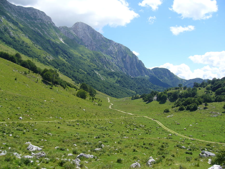
Sehr anstrengenden Tour mit schwierigem Trageteil in der Mitte und im Schlussteil schwierige (ausgesetzter) Abfahrt auf sehr losem Boden! Wem die Südiroler und Schweizer Wege zu gepflegt sind der ist hier im Soca Tal goldrichtig -Naturbelassener geht es nicht! GPS Navidation ist ein absolutes Muss - die Wege sind als solche meist nicht zu "erkennen" und der slovenische Art Wanderwege zu markieren ist nicht wirklich immer einfach zu folgen.
Für die "flache" Passage zwischen km 15 und 21 genügend Zeit einplanen. Dabei handelt es sich um einen durch zahlreiche Bergstürze unterbrochenen ausgesetzten Saumpfad. Aktuell (July 2022 ist dieser Weg nun ab km 17 offiziell gesperrt da der Regen den Weg entgültig weggespühlt hat. Also am Besten wieder retour.
Einschränkungen
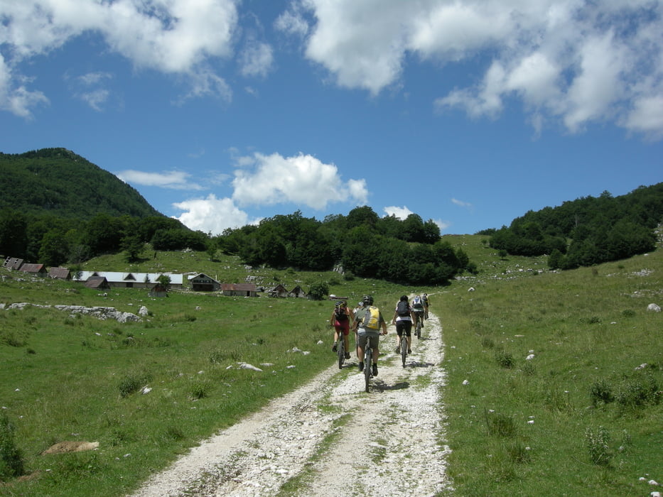
On this tour there is a cycling ban on 17 kilometers!
This tour has a carry or push section on 17 kilometers
Galería de rutas
Mapa de la ruta y perfil de altitud
Minimum height 220 m
Maximum height 1312 m
More about the tour author

|
ETTMAYER |
Comentarios

Wir nächtigten in einem Gasthof in Kobarid
Einschränkungen
On this tour there is a cycling ban on 17 kilometers!
This tour has a carry or push section on 17 kilometers
Tracks GPS
Puntos del track-
GPX / Garmin Map Source (gpx) download
-
TCX / Garmin Training Center® (tcx) download
-
CRS / Garmin Training Center® (crs) download
-
Google Earth (kml) download
-
G7ToWin (g7t) download
-
TTQV (trk) download
-
Overlay (ovl) download
-
Fugawi (txt) download
-
Kompass (DAV) Track (tk) download
-
Hoja de ruta (pdf) download
-
Original file of the author (gpx) download
More about the tour author
|
|
ETTMAYER |
Add to my favorites
Remove from my favorites
Edit tags
Open track
Mi valoración
Rate