

Mittelschwere Wanderung über 12,8 km
Zur Hohen Acht – Jammelshofen, Kaltenborn, Kaiser-Wilhelm Turm
Start und Ziel: Berghotel an der Hohen Acht
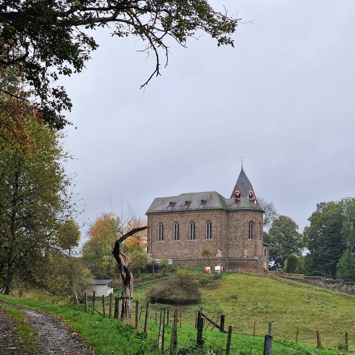
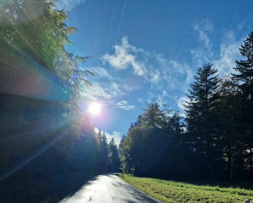
Vom Berghotel hinunter nach Jammelshofen, am Wintersportgebiet vorbei, Richtung Kaltenborn, hinauf zur Ortschaft Hochacht, weiter zum Parkplatz an der Hohen Acht, Anstieg zur Hohen Acht, Besteigung des Kaiser-Wilhelm Turms und dann hinab zum Ausgangspunkt.
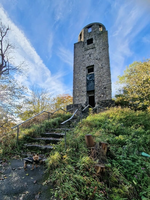
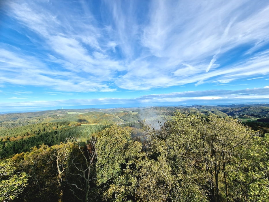
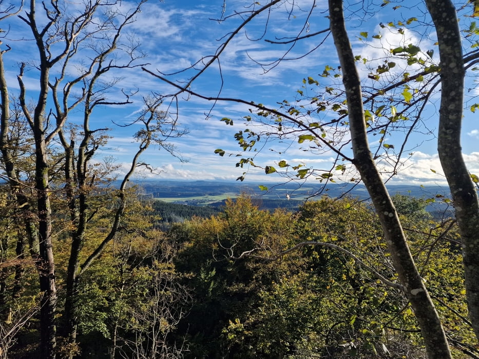
Die Hohe Acht ist mit 747 m über NN. der höchste Berg der Eifel. Vom Kaiser-Wilhelm Turm auf dem Gipfel bietet sich bei schönem Wetter ein hervorragender Blick über die ganze Eifel. Die Nürburg und das Siebengebirge mit dem Großen Ölberg und dem Hotel auf dem Petersberg sind bei guter Fernsicht zu erkennen. Die Spitze des Posttowers in Bonn ist ebenfalls zu erkennen.
Anlass zur Errichtung dieses steinernen Aussichtsturms war die silberne Hochzeit des Kaisers Wilhelm II. und seiner Gemahlin Kaiserin Auguste Viktoria und an das Gedenken an Kaiser Wilhelm I. Der Turm ist ca. 16 m hoch und steht unter Denkmalschutz.
Galería de rutas
Mapa de la ruta y perfil de altitud
Minimum height 442 m
Maximum height 724 m
More about the tour author
|
|
28Eifelbiker06 |
Comentarios

Tracks GPS
Puntos del track-
GPX / Garmin Map Source (gpx) download
-
TCX / Garmin Training Center® (tcx) download
-
CRS / Garmin Training Center® (crs) download
-
Google Earth (kml) download
-
G7ToWin (g7t) download
-
TTQV (trk) download
-
Overlay (ovl) download
-
Fugawi (txt) download
-
Kompass (DAV) Track (tk) download
-
Hoja de ruta (pdf) download
-
Original file of the author (gpx) download
More about the tour author
|
|
28Eifelbiker06 |
Add to my favorites
Remove from my favorites
Edit tags
Open track
Mi valoración
Rate