


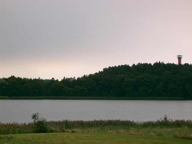
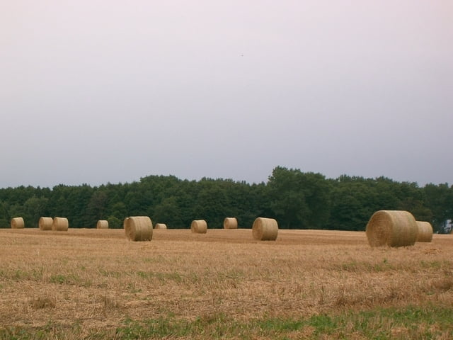
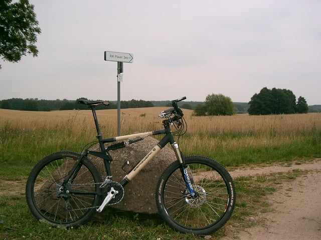
Plau am See - Quetzin - Karower Meiler - Teerofen - Paschensee Trails - Bossower See Trails - Bossow - Möllen - Bornberg Trails - Krakow am See - Lehmwerder - Jörgenberg - Windfang - Top Restaurant "Ich weiss ein Haus am See" - Serrahn - Serrahn Ausbau - Neu Zietliz - Dobbiner Lust Trail - Dobbin - Walkmöhl - Drewitz - Nossentiner Hütte - Nossentiner Trail - Alt Schwerin - Jürgenshof - Lenz - Lenzer Höhen Trail - Zislow - Suckower Keller - Bad Stuer - Plauer See Trails - Seeluster Bucht - Plötzenhöhe - Plau am See
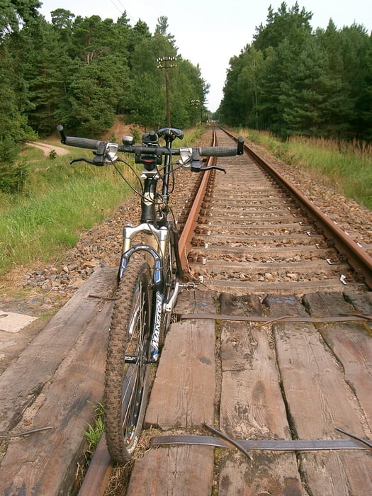
Wege: Mischung aus Gelände und Teer!
Further information at
http://www.hegibiketours.deGalería de rutas
Mapa de la ruta y perfil de altitud
Minimum height 45 m
Maximum height 84 m
More about the tour author
|
|
hegi |
Comentarios
Aus Richtung Autobahn A 24 komment (Abfahrt Meyenburg)Dann Richtung Meyenburg und auf der B 103 Richtung Plau!Start in Plau am See! Auf der Brücke der B103 über die Elde! Auto kann man ggf. vorm Plauer Rathaus oder am Hafenparkplatz abstellen!
Tracks GPS
Puntos del track-
GPX / Garmin Map Source (gpx) download
-
TCX / Garmin Training Center® (tcx) download
-
CRS / Garmin Training Center® (crs) download
-
Google Earth (kml) download
-
G7ToWin (g7t) download
-
TTQV (trk) download
-
Overlay (ovl) download
-
Fugawi (txt) download
-
Kompass (DAV) Track (tk) download
-
Hoja de ruta (pdf) download
-
Original file of the author (gpx) download
More about the tour author
|
|
hegi |
Add to my favorites
Remove from my favorites
Edit tags
Open track
Mi valoración
Rate
echt geile gegend ,kann ich absolut empfehlen