


This is just a short 5Km walk from the second cablecar station, back down to the start cablecar station in Malcesine, ideal for a morning or afternoon walk.
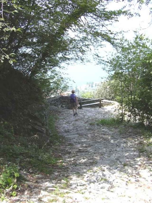
When you exit the 2nd cablecar station, walk up about 100 mtrs to find the footpath going to the left. Shortly you will come to the tiny church of St Michelle, stop a while and enjoy. The walk is not difficult, there is a short steep section on a cobbled path into Malcesine, but this just adds to the experience.
Once out of the wooded section there are many routes down into the town.
Galería de rutas
Mapa de la ruta y perfil de altitud
Minimum height 99 m
Maximum height 590 m
More about the tour author

|
SILVAED |
Comentarios

The trail head is effectively the cablecar station in Malcesine. Get a cheap one-way ticket to the second station where the walk proper starts.
Tracks GPS
Puntos del track-
GPX / Garmin Map Source (gpx) download
-
TCX / Garmin Training Center® (tcx) download
-
CRS / Garmin Training Center® (crs) download
-
Google Earth (kml) download
-
G7ToWin (g7t) download
-
TTQV (trk) download
-
Overlay (ovl) download
-
Fugawi (txt) download
-
Kompass (DAV) Track (tk) download
-
Hoja de ruta (pdf) download
-
Original file of the author (g7t) download
More about the tour author
|
|
SILVAED |
Add to my favorites
Remove from my favorites
Edit tags
Open track
Mi valoración
Rate