


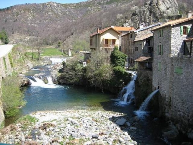
This route first takes you to Saint-Pierreville, where you can visit a chestnut museum. The route travels further and takes you to cascade du Ray-Pic. Which can also visit, but it requires a short walk. Near the town Le Roux the route runs through the Tunnel du Roux. An old, narrow, 3336m long tunnel. (You can avoid the tunnel if you don’t like it by staying on the D536). Immediately after the the tunnel you ride through the Foret de Mazan. This area is the source of the river Ardeche. After that you’ll find yourself riding along the Tanargue mountain range. From Jaujac you follow the river Lignon and then your ride to Aubenas and via small roads to Privas and back to Domaine de l’Amiral in Saint-Laurent-Du-Pape.
Don't forget to take of your sunglasses in the tunnel !! There are no lights in the tunnel !!
---
Deze route voert eerst naar Saint-Pierreville waar een kastanjemuseum gevestigd is. De route gaat daarna langs (of naar) cascade du Ray-Pic. Bij de plaats Le Roux loopt de route door de Tunnel du Roux. Een oude tunnel die 3336m lang is. (Het is mogelijk deze (kleine) tunnel te vermijden door de D536 wat langer te volgen.) Direct na de tunnel gaat de route door Foret de Mazan. In dit gebied ontspringt de rivier de Ardeche. Daarna rijdt u langs het Tanargue bergmassief. Vanuit Jaujac volgt u daarna even de rivier Lignon om vervolgens via Privas weer naar Saint-Laurent-Du-Pape te rijden.
Denk aan uw zonnebril in de onverlichte tunnel !!
---
Op www.motorrijden.fr kunt u deze track ook als route downloaden.
Further information at
http://www.motorrijden.frGalería de rutas

Mapa de la ruta y perfil de altitud
Minimum height 99999 m
Maximum height -99999 m
More about the tour author

|
Rambling_man |
Comentarios

Tracks GPS
Puntos del track-
GPX / Garmin Map Source (gpx) download
-
TCX / Garmin Training Center® (tcx) download
-
CRS / Garmin Training Center® (crs) download
-
Google Earth (kml) download
-
G7ToWin (g7t) download
-
TTQV (trk) download
-
Overlay (ovl) download
-
Fugawi (txt) download
-
Kompass (DAV) Track (tk) download
-
Hoja de ruta (pdf) download
-
Original file of the author (gpx) download
More about the tour author
|
|
Rambling_man |
Add to my favorites
Remove from my favorites
Edit tags
Open track
Mi valoración
Rate