


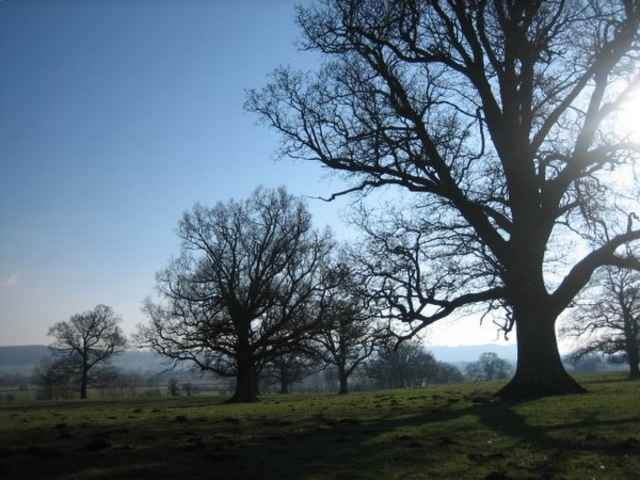
The Wenlock Edge is an escarpment running east of the Long Mynd, which is south of Shrewsbury. The area around is open farmland with some wooded areas. The walk goes through the small villages of Aston Munslow and Diddlebury.
I did this walk after a drive from London, starting at about 11am, and finishing by 3pm. I then stayed at the Bridges Youth Hostel which is located in Ratlinghope west of Church Stretton, which is the best place to buy food in the area.
I did this walk after a drive from London, starting at about 11am, and finishing by 3pm. I then stayed at the Bridges Youth Hostel which is located in Ratlinghope west of Church Stretton, which is the best place to buy food in the area.
Further information at
http://www.walkingbritain.co.uk/walks/walksa/wa022.shtmlGalería de rutas
Mapa de la ruta y perfil de altitud
Minimum height 105 m
Maximum height 277 m
More about the tour author

|
zangezur |
Comentarios

The start of the walk is at a small carpark located about 2km east of Westhope. From there you had towards Westhope but make a sharp left at the first junction. The trail then heads over a line of hills south descending into a small valley and down into Corfton. Changing direction you head north-west to Diddlebury and its church (where we ate our packed lunch) and on to Aston Munslow. From there you climb north west and on to the car park.
Tracks GPS
Puntos del track-
GPX / Garmin Map Source (gpx) download
-
TCX / Garmin Training Center® (tcx) download
-
CRS / Garmin Training Center® (crs) download
-
Google Earth (kml) download
-
G7ToWin (g7t) download
-
TTQV (trk) download
-
Overlay (ovl) download
-
Fugawi (txt) download
-
Kompass (DAV) Track (tk) download
-
Hoja de ruta (pdf) download
-
Original file of the author (gpx) download
More about the tour author
|
|
zangezur |
Add to my favorites
Remove from my favorites
Edit tags
Open track
Mi valoración
Rate