


Frankfurt - Steinbach/Ts. - Frankfurt
Tourenverlauf:
Preungesheim - Berkersheim - Harheim - Nieder Eschbach - Ober Eschbach - Bommersheim - Steinbach - Eschborn - Ffm Hausen - BUGA Gelände - Eschersheim - Preungesheim.
Die Tour weist, bis auf eine zwischen Ober Eschbach und Bommersheim, keine nennenswerte Steigungen auf.
Tourenverlauf:
Preungesheim - Berkersheim - Harheim - Nieder Eschbach - Ober Eschbach - Bommersheim - Steinbach - Eschborn - Ffm Hausen - BUGA Gelände - Eschersheim - Preungesheim.
Die Tour weist, bis auf eine zwischen Ober Eschbach und Bommersheim, keine nennenswerte Steigungen auf.
Galería de rutas
Mapa de la ruta y perfil de altitud
Minimum height 92 m
Maximum height 184 m
More about the tour author
|
|
MuellerJS |
Comentarios
Da es sich um einen Rundkurs handelt lässt sich die Tour an jedem Punkt beginnen. Gut zu erreichen ist die Tour mit der S-Bahn an den Haltestellen Berkersheim und Weiskirchen.
Tracks GPS
Puntos del track-
GPX / Garmin Map Source (gpx) download
-
TCX / Garmin Training Center® (tcx) download
-
CRS / Garmin Training Center® (crs) download
-
Google Earth (kml) download
-
G7ToWin (g7t) download
-
TTQV (trk) download
-
Overlay (ovl) download
-
Fugawi (txt) download
-
Kompass (DAV) Track (tk) download
-
Hoja de ruta (pdf) download
-
Original file of the author (g7t) download
More about the tour author
|
|
MuellerJS |
Add to my favorites
Remove from my favorites
Edit tags
Open track
Mi valoración
Rate
Achtung! Autbahn Unterführung gespert!
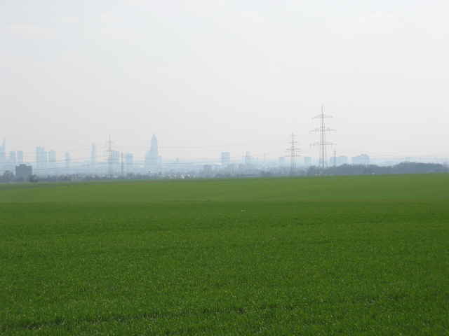
A pleasant tour. I had not realised there were so many horses around Frankfurt - this was almost a tour of the stable yards.
The ride through Steinbach industrial area was none too pleasant - I might see if I can find a detour - but as this tour is right on my doorstep so I will do it more often. Lots of cornfields so probably worth avoiding on hot days during harvest time, unless you like dust in your eyes!
Although there are no notable climbs, there was still a total climb of around 400m. As this ride is mostly through the plain North of Frankfurt, a headwind on some of the long slow uphills was certainly noticeable.
The Trinkhalle in Harheim made a nice halfway stop.
Recommended.