


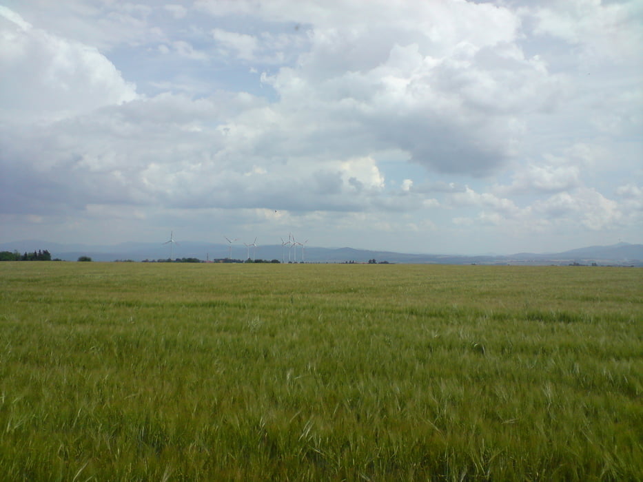
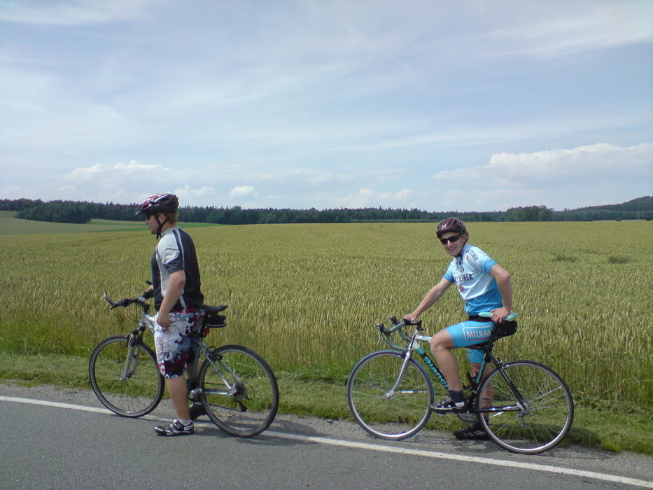
Startpunkt ist die Mensa in Zittau. Von hier aus geht es als erstes in Richtung Olbersdorfer See entlang der Mandau. Nachdem der Olbersdorfer See passiert wurde, geht es weiter nach Hörnitz über Pethau. Von Hörnitz geht es entlang der Bundesstraße bis zum Abzweig nach Hainewalde. In Hainewalde trifft man wieder auf die Mandau, überquert diese und fährt auf einer Landstraße nach Niederoderwitz und weiter nach Großhennersdorf. Von hier geht es auf der stark befahrenen Bundesstraße bis zum nächsten Ort Oberseifersdorf. Hier biegt man in Richtung Oberherwigsdorf ab und folgt der Landstraße in Richtung Zittau. Auf der gesamten Strecke sind hin und wieder kleinere Anstiege, die einem ungeübten Fahrerer jedoch nicht allzu viele Probleme bereiten sollten.
Galería de rutas
Mapa de la ruta y perfil de altitud
Minimum height 99999 m
Maximum height -99999 m
More about the tour author
|
|
Zerberster |
Comentarios

beerchen
al 07.07.2009
wenn wenige Autos unterwegs sind, tolle Strecke :)

Zittau -> Pethau -> Hörnitz -> Hainewalde -> Niederoderwitz -> Großhennersdorf -> Oberseifersdorf -> Oberherwigsdorf -> Zittau
Tracks GPS
Puntos del track-
GPX / Garmin Map Source (gpx) download
-
TCX / Garmin Training Center® (tcx) download
-
CRS / Garmin Training Center® (crs) download
-
Google Earth (kml) download
-
G7ToWin (g7t) download
-
TTQV (trk) download
-
Overlay (ovl) download
-
Fugawi (txt) download
-
Kompass (DAV) Track (tk) download
-
Hoja de ruta (pdf) download
-
Original file of the author (gpx) download
More about the tour author
|
|
Zerberster |
Add to my favorites
Remove from my favorites
Edit tags
Open track
Mi valoración
Rate