


Diese kleine Tour startet am Marktplatz in Neufelden im Mühlkreis. Man fährt zuerst hinter der Kirche den schmalen Pfad zum Bahnhof Neufelden hinunter. Dort erklimmt man die erste kleine Steigung (ich hab hier die Asphaltstraße gewählt, es wäre aber auch möglich, links den Wanderweg zu fahren) hinauf zum Fabrikgelände Biohort.
Dem Wanderweg folgend, geht es hinunter in ein kleines Tal und wieder hoch zur Burg Pürnstein.
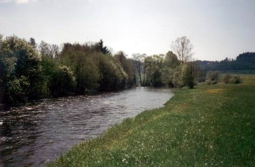
Weiter geht es hinunter zum Stausee Neufelden und entlang diesem wieder zurück nach Neufelden.
Further information at
http://www.neufelden.comGalería de rutas


Mapa de la ruta y perfil de altitud
Minimum height 449 m
Maximum height 552 m
More about the tour author
|
|
didi |
Comentarios
Man startet direkt am Marktplatz Neufelden und fährt Richtung Kirche, wo es hinter der Kirche den Pfad hinunter zum Bahnhof geht.
Tracks GPS
Puntos del track-
GPX / Garmin Map Source (gpx) download
-
TCX / Garmin Training Center® (tcx) download
-
CRS / Garmin Training Center® (crs) download
-
Google Earth (kml) download
-
G7ToWin (g7t) download
-
TTQV (trk) download
-
Overlay (ovl) download
-
Fugawi (txt) download
-
Kompass (DAV) Track (tk) download
-
Hoja de ruta (pdf) download
-
Original file of the author (g7t) download
More about the tour author
|
|
didi |
Add to my favorites
Remove from my favorites
Edit tags
Open track
Mi valoración
Rate
Eine wirklich schöne Runde