


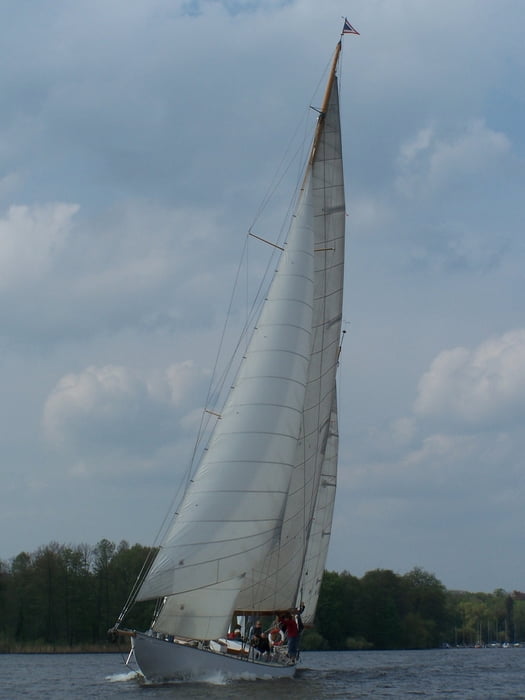
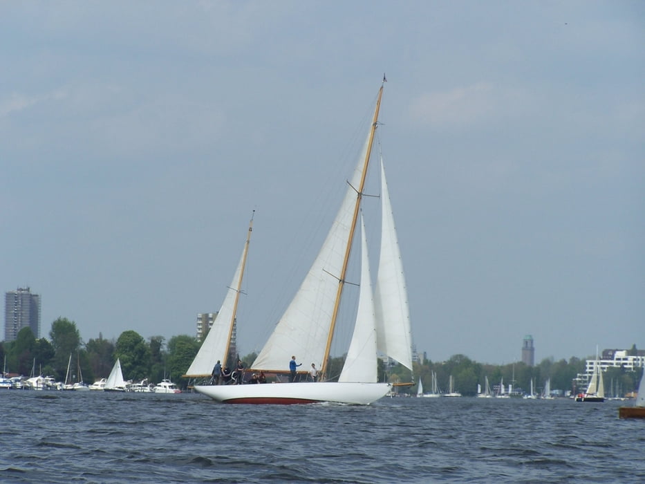
OK OK ich gebe es ja zu. Wir waren nicht mit dem Kanu unterwegs. Es war eine Jolle.
War trotzdem schön dass ein toller stetiger Wind geblasen hat. Das Wetter war optimal. Nicht naß nicht heiß und Wind. Das ist auf der Havel manchmal ein bisschen schwierig.
Further information at
http://www.berliner-stadtplan.com/Scharfe-Lanke-Berlin-Spandau_a11757Galería de rutas
Mapa de la ruta y perfil de altitud
Minimum height 25 m
Maximum height 45 m
More about the tour author
|
|
Pheinz |
Comentarios

Hafen in Pichelsdorf
Tracks GPS
Puntos del track-
GPX / Garmin Map Source (gpx) download
-
TCX / Garmin Training Center® (tcx) download
-
CRS / Garmin Training Center® (crs) download
-
Google Earth (kml) download
-
G7ToWin (g7t) download
-
TTQV (trk) download
-
Overlay (ovl) download
-
Fugawi (txt) download
-
Kompass (DAV) Track (tk) download
-
Hoja de ruta (pdf) download
-
Original file of the author (gpx) download
More about the tour author
|
|
Pheinz |
Add to my favorites
Remove from my favorites
Edit tags
Open track
Mi valoración
Rate