
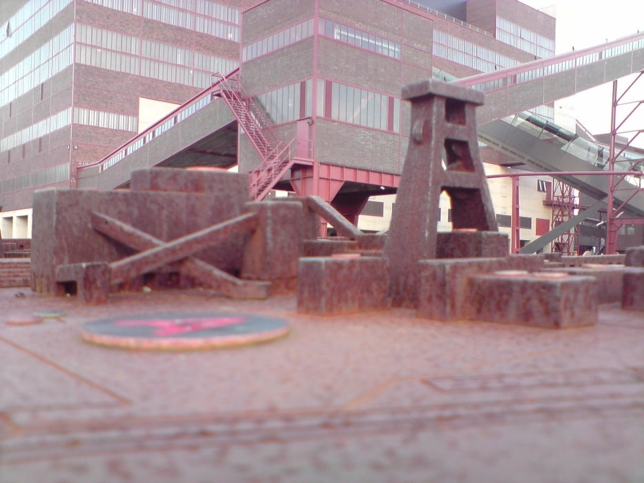

Die Tour führt vom S-Bahnhof "Wattenscheid-Höntrop" zur Bochumer Jahrhunderthalle. Von dort aus über den Erzbahnradweg zum Hafen Grimberg am Rhein-Herne-Kanal. Entlang des Kanals zur Zeche Nordstern. Die Zeche und Kokerei Zollverein erreichen wir über eine Bahntrasse. Von dort aus geht es über den Zollvereinweg und die ehemalige Bahntrasse der Kray-Wanner Bahn zur Zeche Bonifacius und die Bergehalde "Rheinelbe". Von dort aus ereichen wir den S-Bahnhof "Wattenscheid-Höntrop", unseren Ausgangspunkt
Mapa de la ruta y perfil de altitud
Minimum height 21 m
Maximum height 112 m
More about the tour author
|
|
flickzeug |
Comentarios
Tracks GPS
Puntos del track-
GPX / Garmin Map Source (gpx) download
-
TCX / Garmin Training Center® (tcx) download
-
CRS / Garmin Training Center® (crs) download
-
Google Earth (kml) download
-
G7ToWin (g7t) download
-
TTQV (trk) download
-
Overlay (ovl) download
-
Fugawi (txt) download
-
Kompass (DAV) Track (tk) download
-
Hoja de ruta (pdf) download
-
Original file of the author (gpx) download
More about the tour author
|
|
flickzeug |
Add to my favorites
Remove from my favorites
Edit tags
Open track
Mi valoración
Rate
tolle Route !
ich bin die Route heute gefahren und finde Sie sehr schön. Gut, das eine oder andere Stück über die Strasse war dabei, aber Sehenswertes gab es genug.
Die meisten Menschen im Ruhrgebiet wissen gar ncith, in was für einen tollen Grüngürtel Sie leben .