


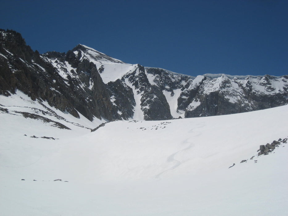
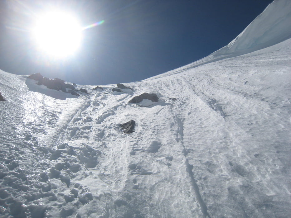
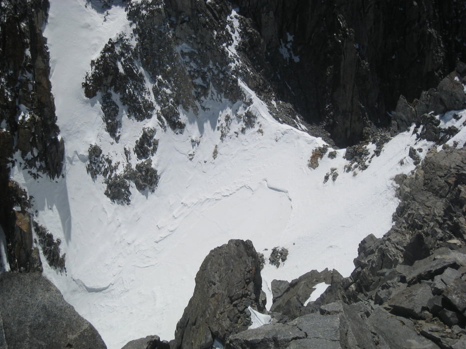
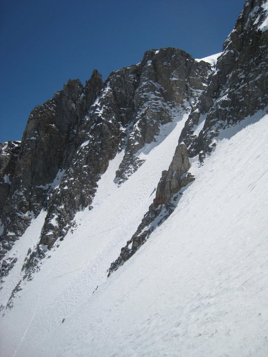
Von den McMurry Meadows zuerst wie zum Birch Mtn. Bachbett links verlassen und in den Tinemaha Creek einqueren. Der beste Weg ist tiefer als meine Aufstiegsroute entlang meines Abfahrts-GPS tracks. Dem Tal über zwei Steilstufen lange folgen, nicht rechts hinauf zum T.Lake. Am Ende des Tales gibt es zwei Aufstiegsmöglichkeiten:Ganz links über eine Rinne und eine kleine Flanke oder halblinks durch eine Rinne bis auf den Sattel. Ich wählte den linken Ausstieg für den Aufstieg und den rechten für die Abfahrt. Vom Sattel unschwierig über Schneefelder den weg durch die Steine suchend zum Gipfel. Vom Gipfel schöner Blick in das Split Mt. Couloir. - Obern verführerisch, aber unten ist ein 60° Eiswandl, so dass hier die komplette Eisausrüstung angesagt wäre. Drum Abfahrt wie Aufstieg.
Galería de rutas
Mapa de la ruta y perfil de altitud
Minimum height 1195 m
Maximum height 4293 m
More about the tour author

|
Gi |
Comentarios

Siehe Tour Birch Mtn. alternativ kann auch von der Tinemaha Creek Rd. (Red Lake trailhead) aufgestiegen werden. Hier von Tinemaha zwei Gatter umfahren und dann rechts in Richtung Tinemaha Creek soweit das Fahrzeug hergibt.
Tracks GPS
Puntos del track-
GPX / Garmin Map Source (gpx) download
-
TCX / Garmin Training Center® (tcx) download
-
CRS / Garmin Training Center® (crs) download
-
Google Earth (kml) download
-
G7ToWin (g7t) download
-
TTQV (trk) download
-
Overlay (ovl) download
-
Fugawi (txt) download
-
Kompass (DAV) Track (tk) download
-
Hoja de ruta (pdf) download
-
Original file of the author (gpx) download
More about the tour author
|
|
Gi |
Add to my favorites
Remove from my favorites
Edit tags
Open track
Mi valoración
Rate