


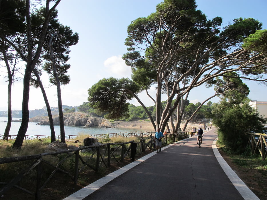
This is a nice tour along the Golf of Rosas between camping La Ballena Allegre and l’Escala. You will see very nice beaches, part of the Roman Ruins of d’Empuries and you will enjoy the shadow parts.
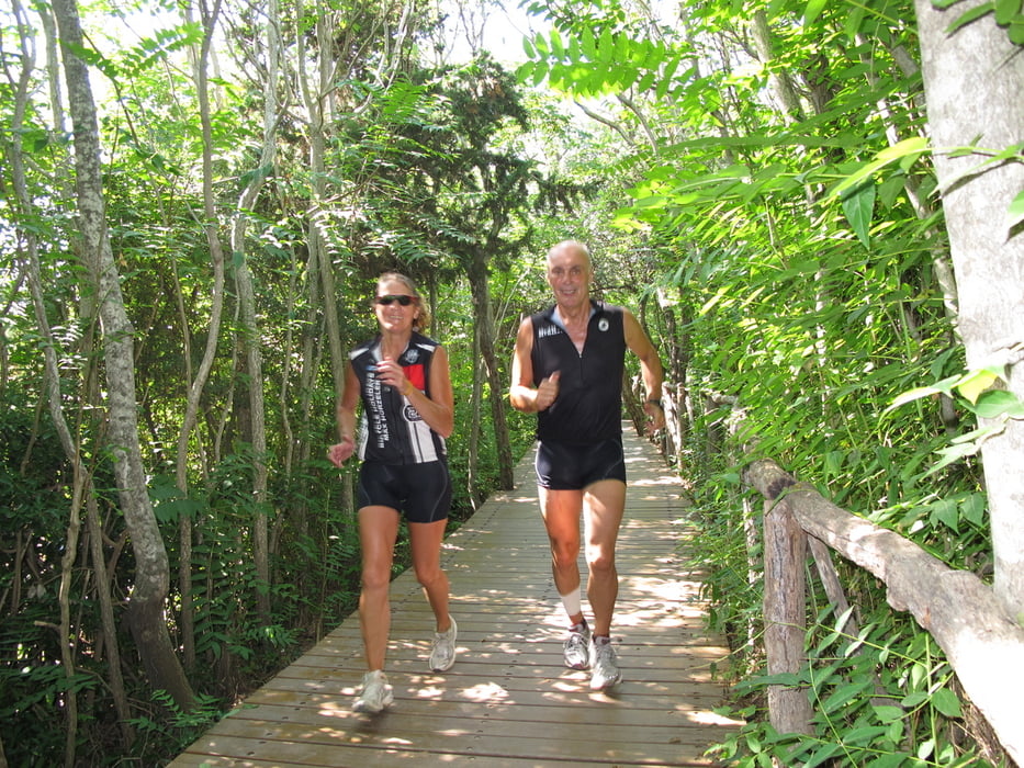
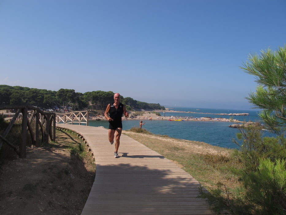
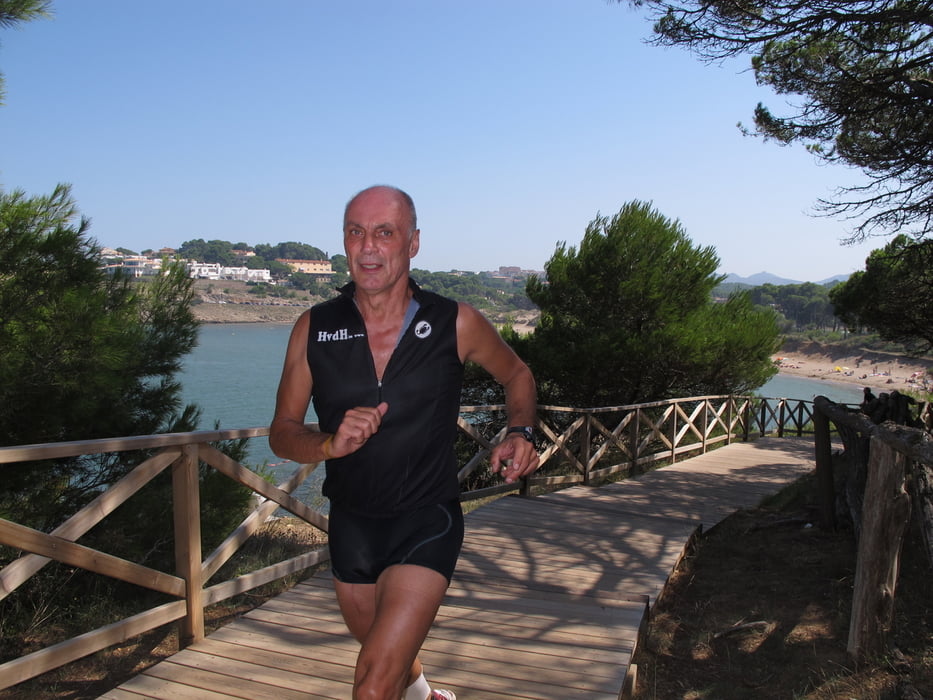
The tour starts at southern end of the camping „La Ballena Alegre“ along the reed behind the beach. Via a nice bridge you arrive the old part of Sant Marti d’Empuries. From the highest point you will have a very good view to the beaches in direction of l’Escala. From here you run like in a tunnel of greens with good shadow. In the next beach you have the option to run left up the stairs to a small hill with wonderful view to the Platja del Rec and L’Escala. After 3 km you arrive the main street to l’Escala and from here you run up the footway until the beginning of the village with a fantastic view to the hole Golf of Rosas with the Pyranes in the background. At the highest point you rich the turn around point. The run back has again very nice views to the other directions and to the old Roman Ruins of d’Empuries.
Have fun at this nice running tour in this hot area. The best time is early in the morning or in the evening.
This tour was recorded with Garmin 62CS and post worked with Map Source.
Further information at
http://www.hvdh.info/Galería de rutas
Mapa de la ruta y perfil de altitud
Minimum height -1 m
Maximum height 17 m
More about the tour author
|
|
HvdH |
Comentarios

Starting point of this tour is „Camping La Ballena Alegre“
You rich this camping via highway A7 – coming from the south exit 5 and than direction l’Escala.
Tracks GPS
Puntos del track-
GPX / Garmin Map Source (gpx) download
-
TCX / Garmin Training Center® (tcx) download
-
CRS / Garmin Training Center® (crs) download
-
Google Earth (kml) download
-
G7ToWin (g7t) download
-
TTQV (trk) download
-
Overlay (ovl) download
-
Fugawi (txt) download
-
Kompass (DAV) Track (tk) download
-
Hoja de ruta (pdf) download
-
Original file of the author (gpx) download
More about the tour author
|
|
HvdH |
Add to my favorites
Remove from my favorites
Edit tags
Open track
Mi valoración
Rate