Login

Login oublié ?

Cookies have to be accepted!
Your browser's cookie functionality is disabled. Please enable this functionality.

Not a member yet?

Register now
Login

Available for registred users only

Log in to use this feature.

Login oublié ?

Cookies have to be accepted!
Your browser's cookie functionality is disabled. Please enable this functionality.

Not a member yet?

Register now
Filter
Catégories
Advanced filters
  • Longueur (km)
  • Altimètre
Enregistrer le filtre Reset filter

TrackRank

QRCode

Technical data

Longueur26,2 km Altimètre833 m Way down826 m Durée02:30 h:m Date02.10.2012
Evaluations Author Paysage Aspect amusement Condition Technique

Statistiques

405 Vues Evaluations 38 Téléchargements Moyenne
Rate
  • Feuille de tours
  • Arrivée
  • Téléchargements
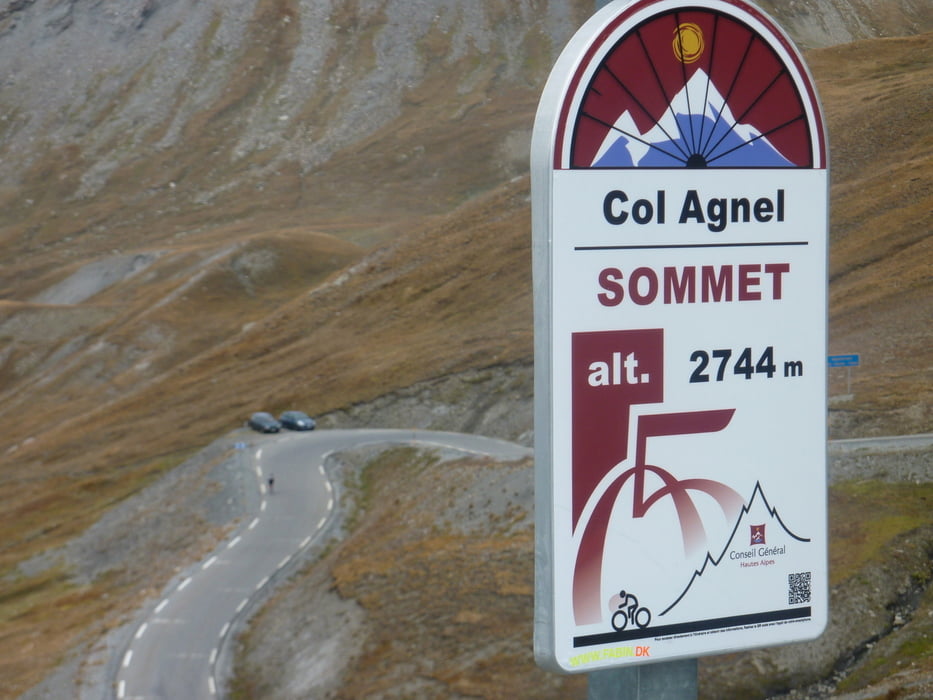
Von Pierre Gosse Campingplatz am Bach noch kurz auf den Col de Agnello ( erster Pass in der Früh IZOARD )

Galerie du tour

Carte du tour et altitude

  • Open Street Map
  • Google
Minimum height 1909 m Maximum height 2739 m Vue de détail

More about the tour author

markus-w
Member since 2010

Send private message

Commentaires

Abfahrt vom Izoard und am Passende links in ein kleines Tal weg und an einem Kreisel rechts den Pass rauf 

Tracks GPS

Trackpoints
  • GPX / Garmin Map Source (gpx) download
  • TCX / Garmin Training Center® (tcx) download
  • CRS / Garmin Training Center® (crs) download
  • Google Earth (kml) download
  • G7ToWin (g7t) download
  • TTQV (trk) download
  • Overlay (ovl) download
  • Fugawi (txt) download
  • Kompass (DAV) Track (tk) download
  • Feuille de tours (pdf) download
  • Original file of the author (gpx) download

More about the tour author

markus-w
Member since 2010

Send private message
Share track
Add to my favorites
Remove from my favorites
Edit tags
My score
Rate
Tour: Col de Agnello 2744M.ü.M. ab Pierre Gosse
Cat.: Vélo de course
Longueur: 26,2 km
Evaluated on:
Durée:
Day(s)
Hour(s)
Minute(s)
Evaluation: Paysage Aspect amusement Condition Technique