Login

Login oublié ?

Cookies have to be accepted!
Your browser's cookie functionality is disabled. Please enable this functionality.

Not a member yet?

Register now
Login

Available for registred users only

Log in to use this feature.

Login oublié ?

Cookies have to be accepted!
Your browser's cookie functionality is disabled. Please enable this functionality.

Not a member yet?

Register now
Filter
Catégories
Advanced filters
  • Longueur (km)
  • Altimètre
Enregistrer le filtre Reset filter

TrackRank

QRCode

Technical data

Longueur33,1 km Altimètre836 m Way down844 m Durée00:00 h:m Date03.10.2012
Evaluations Author Paysage Aspect amusement Condition Technique

Statistiques

2430 Vues Evaluations 268 Téléchargements Moyenne
Rate
  • Feuille de tours
  • Arrivée
  • Téléchargements

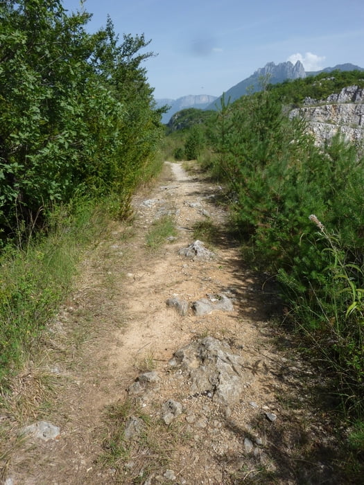
Harte Trailtour am Lac d´Annecy.

Einige Passagen sind nicht zu fahren bzw. nur für top Techniker.

Zur Enspannung sind aber auch ein paar Teerpassagen enthalten bzw. Genusstrails.


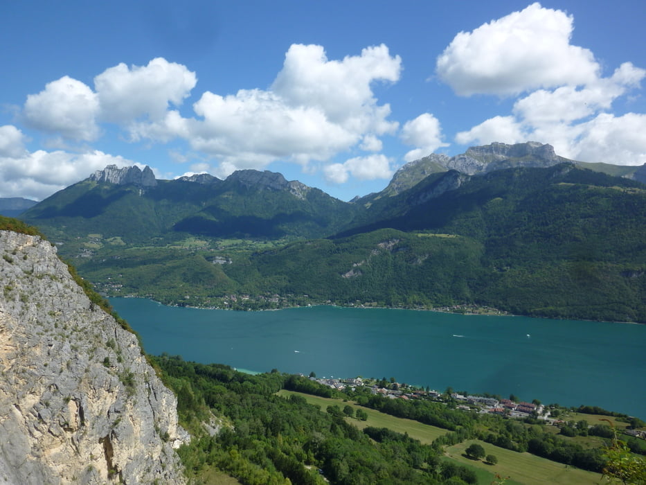
Auf der Tour hat man teilweise eine herrliche Aussicht.

Galerie du tour

Carte du tour et altitude

  • Open Street Map
  • Google
Minimum height 428 m Maximum height 838 m Vue de détail

More about the tour author

Tom19
Member since 2008

Send private message

Commentaires

siehe Gaten.


Tracks GPS

Trackpoints
  • GPX / Garmin Map Source (gpx) download
  • TCX / Garmin Training Center® (tcx) download
  • CRS / Garmin Training Center® (crs) download
  • Google Earth (kml) download
  • G7ToWin (g7t) download
  • TTQV (trk) download
  • Overlay (ovl) download
  • Fugawi (txt) download
  • Kompass (DAV) Track (tk) download
  • Feuille de tours (pdf) download
  • Original file of the author (gpx) download

More about the tour author

Tom19
Member since 2008

Send private message
Share track
Add to my favorites
Remove from my favorites
Edit tags
My score
Rate
Tour: Harte Trailtour am Lac d´Annecy
Cat.: Mountainbike
Longueur: 33,1 km
Evaluated on:
Durée:
Day(s)
Hour(s)
Minute(s)
Evaluation: Paysage Aspect amusement Condition Technique