Login

Login oublié ?

Cookies have to be accepted!
Your browser's cookie functionality is disabled. Please enable this functionality.

Not a member yet?

Register now
Login

Available for registred users only

Log in to use this feature.

Login oublié ?

Cookies have to be accepted!
Your browser's cookie functionality is disabled. Please enable this functionality.

Not a member yet?

Register now
Filter
Catégories
Advanced filters
  • Longueur (km)
  • Altimètre
Enregistrer le filtre Reset filter

TrackRank

QRCode

Technical data

Longueur13,9 km Altimètre314 m Way down311 m Durée03:30 h:m Date07.10.2012
Evaluations Author Paysage Aspect amusement Condition Technique

Statistiques

310 Vues Evaluations 8 Téléchargements Moyenne
Rate
  • Feuille de tours
  • Arrivée
  • Téléchargements

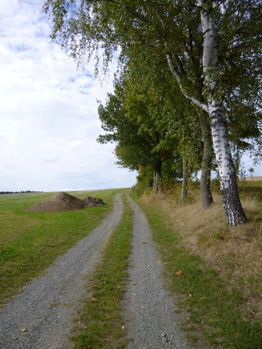
Meist naturbelassene und wassergebundene Wald-, Wiesen- und Feldwege sowie kurze Abschnitte asphaltierte, wenig befahrene Nebenstraßen. Streckenweise werden der Fernwanderweg Eisenach – Budapest und der Kammweg Erzgebirge – Vogtland begangen. Bei dieser Variante werden asphaltierte Wanderwege weitestgehend gemieden und stattdessen nicht markierte Wege genutzt.

Ausführliche Beschreibung in http://www.wolf-klepzig.de/hp/wandg/Marieney-EB-Kamm-Saalig-Marieney.pdf. Weitere Informationen an den Wegpunkten (Parken, Wegweiser, Bänke, Fotos zur Wegbeschaffenheit).


Further information at

http://www.wolf-klepzig.de/hp/wandern.htm

Galerie du tour

Carte du tour et altitude

  • Open Street Map
  • Google
Minimum height 465 m Maximum height 616 m Vue de détail

More about the tour author

klegpst
Member since 2009

Send private message

Commentaires

Anfahrt:

Von A72 bis Ausfahrt 6, Plauen-Süd auf B92/E49 in Richtung Bad Brambach/Bad Elster/Oelsnitz i.V. > in Elstertal links auf Marieneyer Straße.

Zieleingabe für Routenplaner 08626 Mühlental/Marieney, Saaliger Straße 1 oder die Parkplatzkoordinaten N50 22 20.1 E12 16 08.2, bei GoogleEarth und Google Maps ohne die Einheiten für Grad, Minute und Sekunde.

Parken: Viele Parkplätze am Denkmal N50 22 20.1 E12 16 08.2


Tracks GPS

Trackpoints
  • GPX / Garmin Map Source (gpx) download
  • TCX / Garmin Training Center® (tcx) download
  • CRS / Garmin Training Center® (crs) download
  • Google Earth (kml) download
  • G7ToWin (g7t) download
  • TTQV (trk) download
  • Overlay (ovl) download
  • Fugawi (txt) download
  • Kompass (DAV) Track (tk) download
  • Feuille de tours (pdf) download
  • Original file of the author (gpx) download

More about the tour author

klegpst
Member since 2009

Send private message
Share track
Add to my favorites
Remove from my favorites
Edit tags
My score
Rate
Tour: Marieney > EB > Kammweg > Saalig > Marieney
Cat.: Randonnées
Longueur: 13,9 km
Evaluated on:
Durée:
Day(s)
Hour(s)
Minute(s)
Evaluation: Paysage Aspect amusement Condition Technique