Login

Login oublié ?

Cookies have to be accepted!
Your browser's cookie functionality is disabled. Please enable this functionality.

Not a member yet?

Register now
Login

Available for registred users only

Log in to use this feature.

Login oublié ?

Cookies have to be accepted!
Your browser's cookie functionality is disabled. Please enable this functionality.

Not a member yet?

Register now
Filter
Catégories
Advanced filters
  • Longueur (km)
  • Altimètre
Enregistrer le filtre Reset filter

TrackRank

QRCode

Technical data

Longueur34,7 km Altimètre592 m Way down603 m Durée02:35 h:m Date28.01.2013
Evaluations Author User Paysage Aspect amusement Condition Technique

Statistiques

379 Vues 1 Evaluation 37 Téléchargements 3.00 Moyenne
Rate
  • Feuille de tours
  • Arrivée
  • Téléchargements

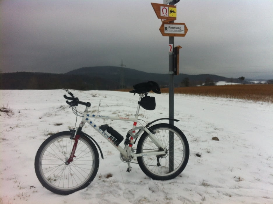
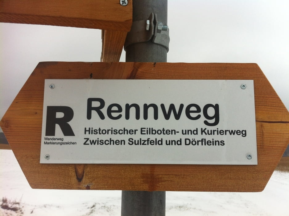
In Zeil am Main das Trimmdichpfad hoch. Vorbei am Dreiländerstein, via Mausberg,Ebelsbachtal und Neubrunn zum Rennweg hoch. Den in östliche Richtung (Bamberg) fahren. Nach Stettfeld, an der Kapelle vorbei, ins herrliche Maintal runterbiken. Am Main entlang, an Eltmann und Steinbach vorbei zurück. Eine herrliche Schneetour, zu 95 % auf Wald- und Forstwegen.


Galerie du tour

Carte du tour et altitude

  • Open Street Map
  • Google
Minimum height 224 m Maximum height 453 m Vue de détail

More about the tour author

Astro
Member since 2009

Send private message

Commentaires

Zeil am Main liegt cirka in der Mitte von Schweinfurt und Bamberg, an der A70 und B26.


Tracks GPS

Trackpoints
  • GPX / Garmin Map Source (gpx) download
  • TCX / Garmin Training Center® (tcx) download
  • CRS / Garmin Training Center® (crs) download
  • Google Earth (kml) download
  • G7ToWin (g7t) download
  • TTQV (trk) download
  • Overlay (ovl) download
  • Fugawi (txt) download
  • Kompass (DAV) Track (tk) download
  • Feuille de tours (pdf) download
  • Original file of the author (gpx) download

More about the tour author

Astro
Member since 2009

Send private message
Share track
Add to my favorites
Remove from my favorites
Edit tags
My score
Rate
Tour: Von Zeil am Main auf den Rennweg bis Stettfeld, am Main zurück
Cat.: Mountainbike
Longueur: 34,7 km
Evaluated on:
Durée:
Day(s)
Hour(s)
Minute(s)
Evaluation: Paysage Aspect amusement Condition Technique