Login

Login oublié ?

Cookies have to be accepted!
Your browser's cookie functionality is disabled. Please enable this functionality.

Not a member yet?

Register now
Login

Available for registred users only

Log in to use this feature.

Login oublié ?

Cookies have to be accepted!
Your browser's cookie functionality is disabled. Please enable this functionality.

Not a member yet?

Register now
Filter
Catégories
Advanced filters
  • Longueur (km)
  • Altimètre
Enregistrer le filtre Reset filter

TrackRank

QRCode

Technical data

Longueur12,9 km Altimètre90 m Way down494 m Durée03:30 h:m Date07.03.2013
Evaluations Author Paysage Aspect amusement Condition Technique

Statistiques

1537 Vues Evaluations 48 Téléchargements Moyenne
Rate
  • Feuille de tours
  • Arrivée
  • Téléchargements

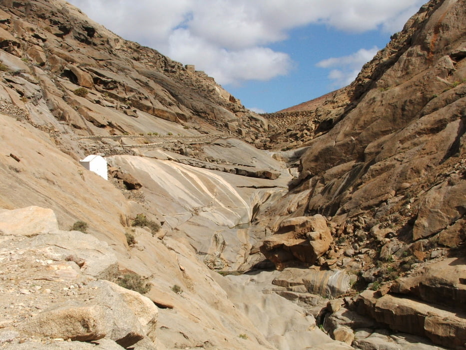
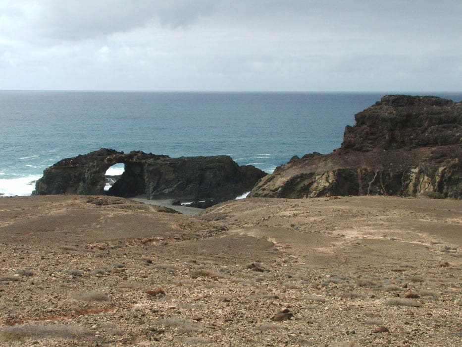
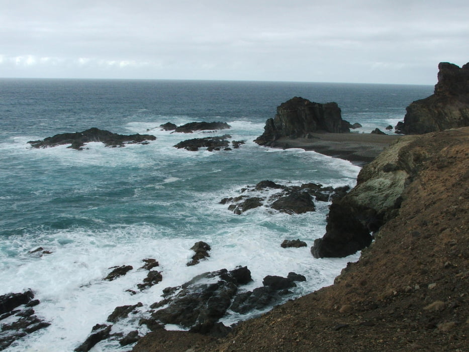
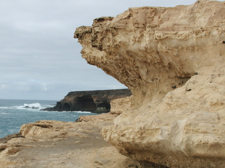
Ausgangspunkt ist der Parkplatz Risco de la Peña an der Straße von Pájara nach Betancuria. Ein kurzes Stück an der Landstraße entlang, steiler Abstieg zum ehemaligen, inzwischen verlandeten Stausee Embalse de las Peñitas (es muss ein Zaun überstiegen werden). Weiter abwärts durch die Schlucht und auf eintönigem Weg bis kurz vor Ajuy. Umweg zum Arco del Jurado und an Höhlen vorbei nach Ajuy.


Galerie du tour

Carte du tour et altitude

  • Open Street Map
  • Google
Minimum height 16 m Maximum height 433 m Vue de détail

More about the tour author

lothardomnik
Member since 2009

Send private message

Commentaires

Weder zum Startpunkt der Wanderung noch vom Endpunkt gibt es eine öffentliche Busverbindung.


Tracks GPS

Trackpoints
  • GPX / Garmin Map Source (gpx) download
  • TCX / Garmin Training Center® (tcx) download
  • CRS / Garmin Training Center® (crs) download
  • Google Earth (kml) download
  • G7ToWin (g7t) download
  • TTQV (trk) download
  • Overlay (ovl) download
  • Fugawi (txt) download
  • Kompass (DAV) Track (tk) download
  • Feuille de tours (pdf) download
  • Original file of the author (gpx) download

More about the tour author

lothardomnik
Member since 2009

Send private message
Share track
Add to my favorites
Remove from my favorites
Edit tags
My score
Rate
Tour: Fuerteventura: Barranco de las Peñitas
Cat.: Tour en montagne
Longueur: 12,9 km
Evaluated on:
Durée:
Day(s)
Hour(s)
Minute(s)
Evaluation: Paysage Aspect amusement Condition Technique