Login

Login oublié ?

Cookies have to be accepted!
Your browser's cookie functionality is disabled. Please enable this functionality.

Not a member yet?

Register now
Login

Available for registred users only

Log in to use this feature.

Login oublié ?

Cookies have to be accepted!
Your browser's cookie functionality is disabled. Please enable this functionality.

Not a member yet?

Register now
Filter
Catégories
Advanced filters
  • Longueur (km)
  • Altimètre
Enregistrer le filtre Reset filter

TrackRank

QRCode

Technical data

Longueur52,6 km Altimètre964 m Way down961 m Durée00:00 h:m Date15.08.2013
Evaluations Author User Paysage Aspect amusement Condition Technique

Statistiques

432 Vues 2 Evaluations 40 Téléchargements 4.00 Moyenne
Rate
  • Feuille de tours
  • Arrivée
  • Téléchargements

Galerie du tour

Carte du tour et altitude

  • Open Street Map
  • Google
Minimum height 307 m Maximum height 426 m Vue de détail

More about the tour author

L-C
Member since 2008

Send private message

Commentaires

isabella1973 on 23.09.2017

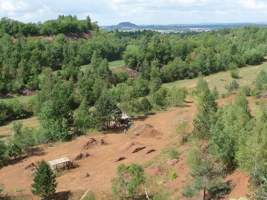
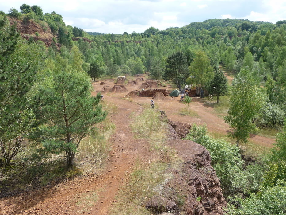
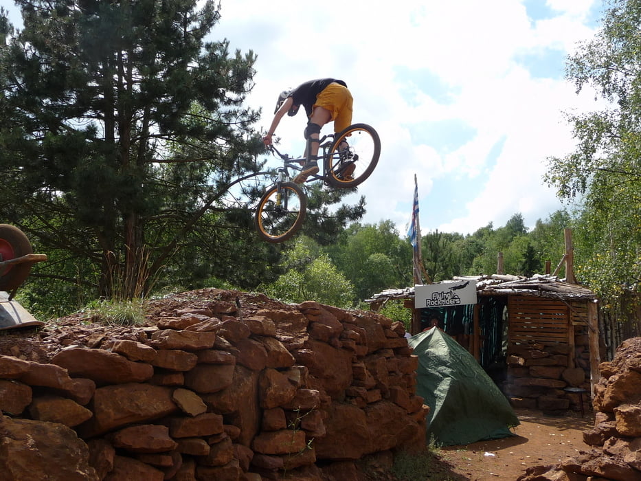
Singletrails ohne Ende

Hat mir wirklich gut gefallen diese Tour.Besonnders der zweite Teil der Tour war übersät mit Trails.
Süd-Luxemburg ist auf jeden Fall eine Reise Wert.

Tracks GPS

Trackpoints
  • GPX / Garmin Map Source (gpx) download
  • TCX / Garmin Training Center® (tcx) download
  • CRS / Garmin Training Center® (crs) download
  • Google Earth (kml) download
  • G7ToWin (g7t) download
  • TTQV (trk) download
  • Overlay (ovl) download
  • Fugawi (txt) download
  • Kompass (DAV) Track (tk) download
  • Feuille de tours (pdf) download
  • Original file of the author (gpx) download

More about the tour author

L-C
Member since 2008

Send private message
Share track
Add to my favorites
Remove from my favorites
Edit tags
My score
Rate
Tour: Esch-sur-Alzette
Cat.: Mountainbike
Longueur: 52,6 km
Evaluated on:
Durée:
Day(s)
Hour(s)
Minute(s)
Evaluation: Paysage Aspect amusement Condition Technique