Login

Login oublié ?

Cookies have to be accepted!
Your browser's cookie functionality is disabled. Please enable this functionality.

Not a member yet?

Register now
Login

Available for registred users only

Log in to use this feature.

Login oublié ?

Cookies have to be accepted!
Your browser's cookie functionality is disabled. Please enable this functionality.

Not a member yet?

Register now
Filter
Catégories
Advanced filters
  • Longueur (km)
  • Altimètre
Enregistrer le filtre Reset filter

TrackRank

QRCode

Technical data

Longueur14,9 km Altimètre671 m Way down680 m Durée05:00 h:m Date08.09.2013
Evaluations Author Paysage Aspect amusement Condition Technique

Statistiques

436 Vues Evaluations 35 Téléchargements Moyenne
Rate
  • Feuille de tours
  • Arrivée
  • Téléchargements

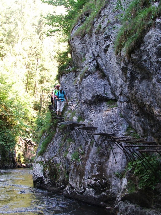
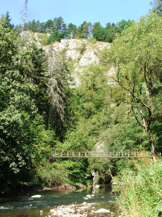
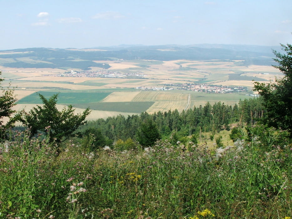
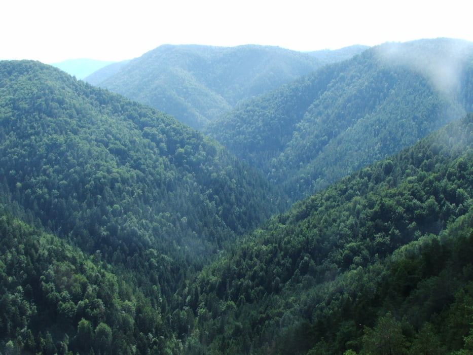
Wegverlauf: Činkov - Tomášovský Výhľad - Prielom Hornádu - Kláštorska roklina - Kláštorisko - Činkov


Galerie du tour

Carte du tour et altitude

  • Open Street Map
  • Google
Minimum height 497 m Maximum height 833 m Vue de détail

More about the tour author

lothardomnik
Member since 2009

Send private message

Commentaires

Von Spišská Nová Ves über Smižany nach Činkov


Tracks GPS

Trackpoints
  • GPX / Garmin Map Source (gpx) download
  • TCX / Garmin Training Center® (tcx) download
  • CRS / Garmin Training Center® (crs) download
  • Google Earth (kml) download
  • G7ToWin (g7t) download
  • TTQV (trk) download
  • Overlay (ovl) download
  • Fugawi (txt) download
  • Kompass (DAV) Track (tk) download
  • Feuille de tours (pdf) download
  • Original file of the author (gpx) download

More about the tour author

lothardomnik
Member since 2009

Send private message
Share track
Add to my favorites
Remove from my favorites
Edit tags
My score
Rate
Tour: Slowakisches Paradies
Cat.: Tour en montagne
Longueur: 14,9 km
Evaluated on:
Durée:
Day(s)
Hour(s)
Minute(s)
Evaluation: Paysage Aspect amusement Condition Technique