Login

Login oublié ?

Cookies have to be accepted!
Your browser's cookie functionality is disabled. Please enable this functionality.

Not a member yet?

Register now
Login

Available for registred users only

Log in to use this feature.

Login oublié ?

Cookies have to be accepted!
Your browser's cookie functionality is disabled. Please enable this functionality.

Not a member yet?

Register now
Filter
Catégories
Advanced filters
  • Longueur (km)
  • Altimètre
Enregistrer le filtre Reset filter

TrackRank

QRCode

Technical data

Longueur64,2 km Altimètre289 m Way down183 m Durée00:00 h:m Date20.10.2013
Evaluations Author Paysage Aspect amusement Condition Technique

Statistiques

436 Vues Evaluations 31 Téléchargements Moyenne
Rate
  • Feuille de tours
  • Arrivée
  • Téléchargements
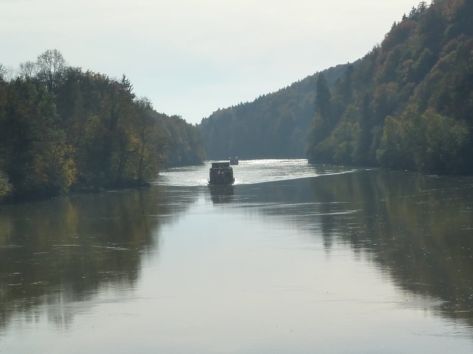
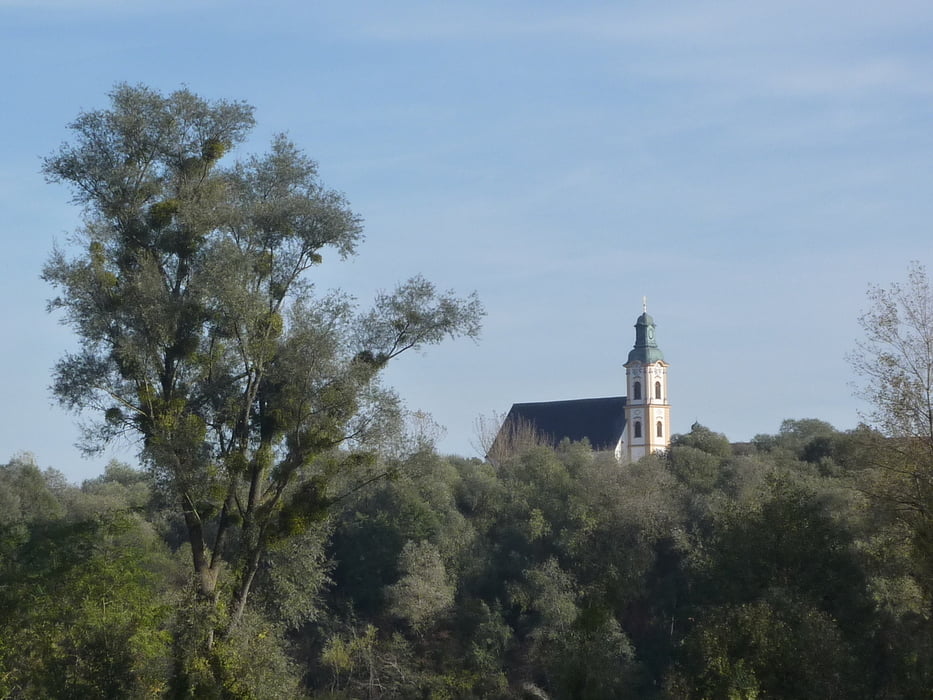
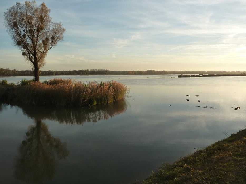
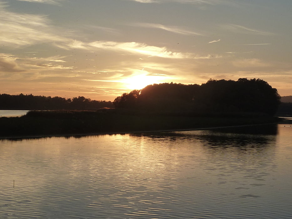
Entlang des Inns flussaufwärts von Passau bis Braunau - die Route entspricht der des Tauernradweges. Zuerst durch Passau, dann ein Stück Österreich. Die längste Strecke wird am bayrischen Innufer zurückgelegt, bevor man kurz vor dem Ziel den Inn von Simbach nach Braunau überquert.

Galerie du tour

Carte du tour et altitude

  • Open Street Map
  • Google
Minimum height 238 m Maximum height 350 m Vue de détail

More about the tour author

rail-com

Commentaires

Bahn bis Passau

Tracks GPS

Trackpoints
  • GPX / Garmin Map Source (gpx) download
  • TCX / Garmin Training Center® (tcx) download
  • CRS / Garmin Training Center® (crs) download
  • Google Earth (kml) download
  • G7ToWin (g7t) download
  • TTQV (trk) download
  • Overlay (ovl) download
  • Fugawi (txt) download
  • Kompass (DAV) Track (tk) download
  • Feuille de tours (pdf) download
  • Original file of the author (gpx) download

More about the tour author

rail-com

Share track
Add to my favorites
Remove from my favorites
Edit tags
My score
Rate
Tour: Eurovelo 7 (Nordkap - Malta) Süd: 003 Passau - Braunau
Cat.: Touring vélo
Longueur: 64,2 km
Evaluated on:
Durée:
Day(s)
Hour(s)
Minute(s)
Evaluation: Paysage Aspect amusement Condition Technique