Login

Login oublié ?

Cookies have to be accepted!
Your browser's cookie functionality is disabled. Please enable this functionality.

Not a member yet?

Register now
Login

Available for registred users only

Log in to use this feature.

Login oublié ?

Cookies have to be accepted!
Your browser's cookie functionality is disabled. Please enable this functionality.

Not a member yet?

Register now
Filter
Catégories
Advanced filters
  • Longueur (km)
  • Altimètre
Enregistrer le filtre Reset filter

TrackRank

QRCode

Technical data

Longueur17,8 km Altimètre449 m Way down771 m Durée04:30 h:m Date25.01.2014
Evaluations Author Paysage Aspect amusement Condition Technique

Statistiques

225 Vues Evaluations 13 Téléchargements Moyenne
Rate
  • Feuille de tours
  • Arrivée
  • Téléchargements

Wegverlauf: Felsenegg - Buechenegg - Albispasshöhe - Hochwacht - Ruine Schnabelburg - Bürglen - Albishorn - Sihlbrugg Station - Sihlwald


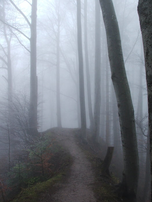
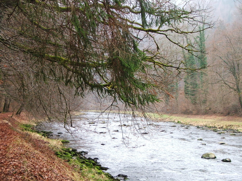
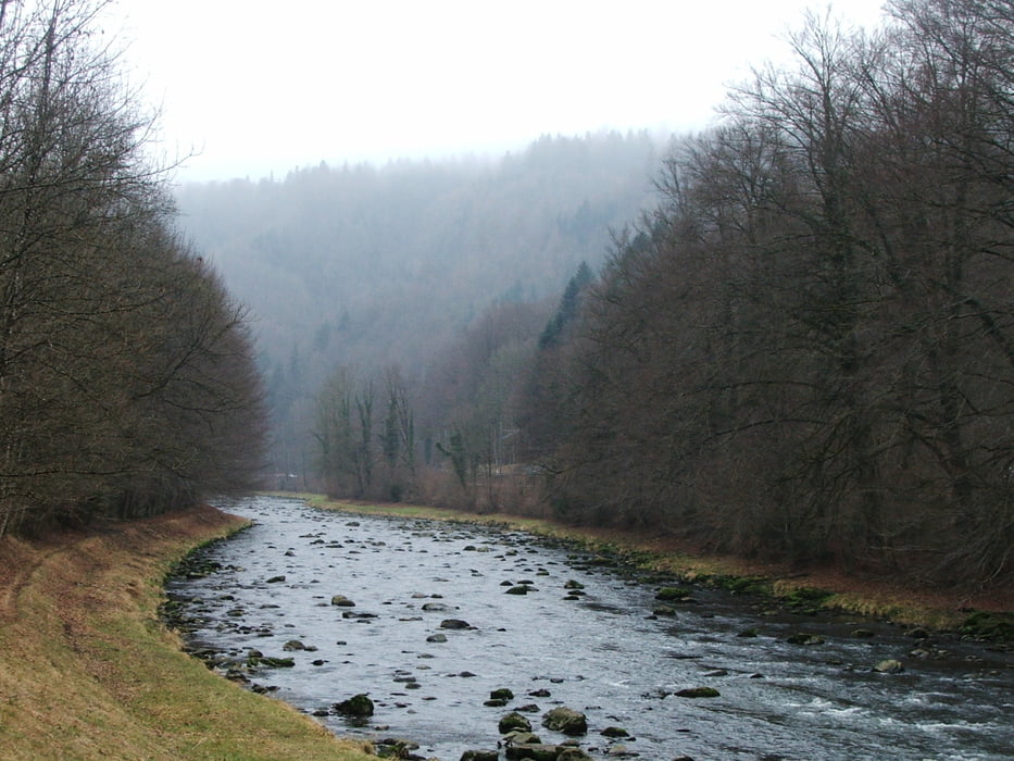
Auf dem Gratweg der Albiskette bis ins Sihltal, dann am Fluss entlang bis Sihlwald

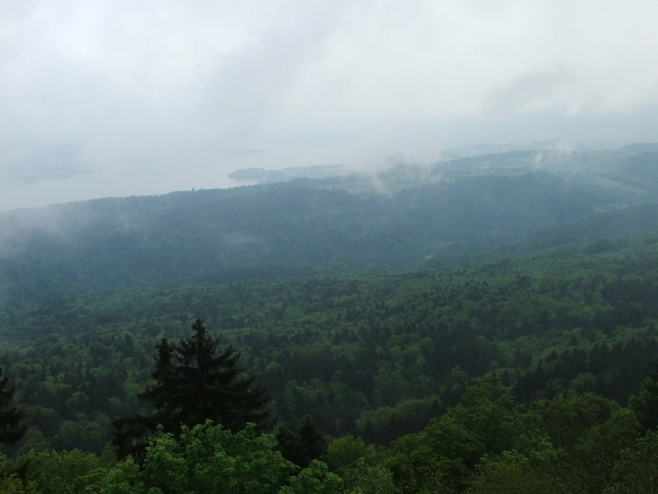
Von oben schöne Ausblicke zu beiden Seiten vom Hochwachtturm und mehreren Aussichtspunkten


Galerie du tour

Carte du tour et altitude

  • Open Street Map
  • Google
Minimum height 483 m Maximum height 910 m Vue de détail

More about the tour author

lothardomnik
Member since 2009

Send private message

Commentaires

Hinfahrt: mit S 4 von Zürich HB bis Adliswil, 500 m Fußweg bis zur Luftseilbahn Adliswil - Felsenegg (ausgeschildert), mit der Seilbahn bis Felsenegg


Rückfahrt: mit S 4 von Sihlwald nach Zürich

Tracks GPS

Trackpoints
  • GPX / Garmin Map Source (gpx) download
  • TCX / Garmin Training Center® (tcx) download
  • CRS / Garmin Training Center® (crs) download
  • Google Earth (kml) download
  • G7ToWin (g7t) download
  • TTQV (trk) download
  • Overlay (ovl) download
  • Fugawi (txt) download
  • Kompass (DAV) Track (tk) download
  • Feuille de tours (pdf) download
  • Original file of the author (gpx) download

More about the tour author

lothardomnik
Member since 2009

Send private message
Share track
Add to my favorites
Remove from my favorites
Edit tags
My score
Rate
Tour: Albiskette Süd
Cat.: Randonnées
Longueur: 17,8 km
Evaluated on:
Durée:
Day(s)
Hour(s)
Minute(s)
Evaluation: Paysage Aspect amusement Condition Technique