

![Eichelspitze Runde [im Kaiserstuhl]](/redx/tools/mb_image.php/ct.VZO2zQ/gid.8/file.zY2JjFL-Dj3b2GUxUfoqAxA2PnTEXrGsP6O5aSyor-WnEHIRZruM9DHavM6uKeh0TIu3GY2Jj/Kaiser1.jpg "Eichelspitze")

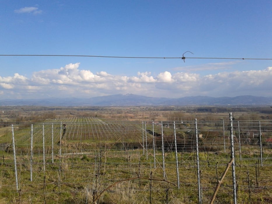
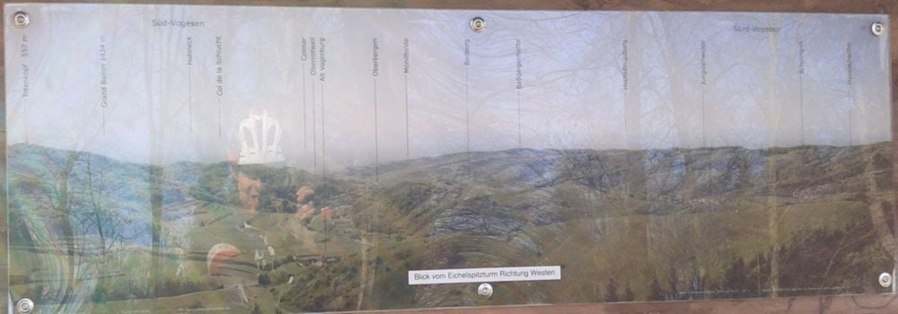
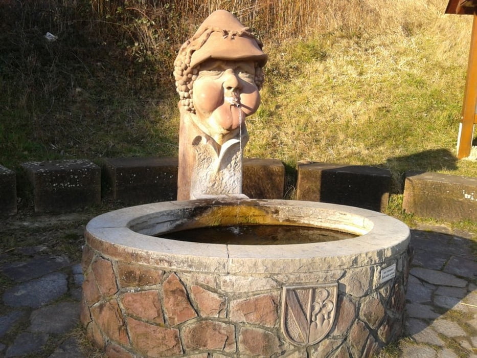
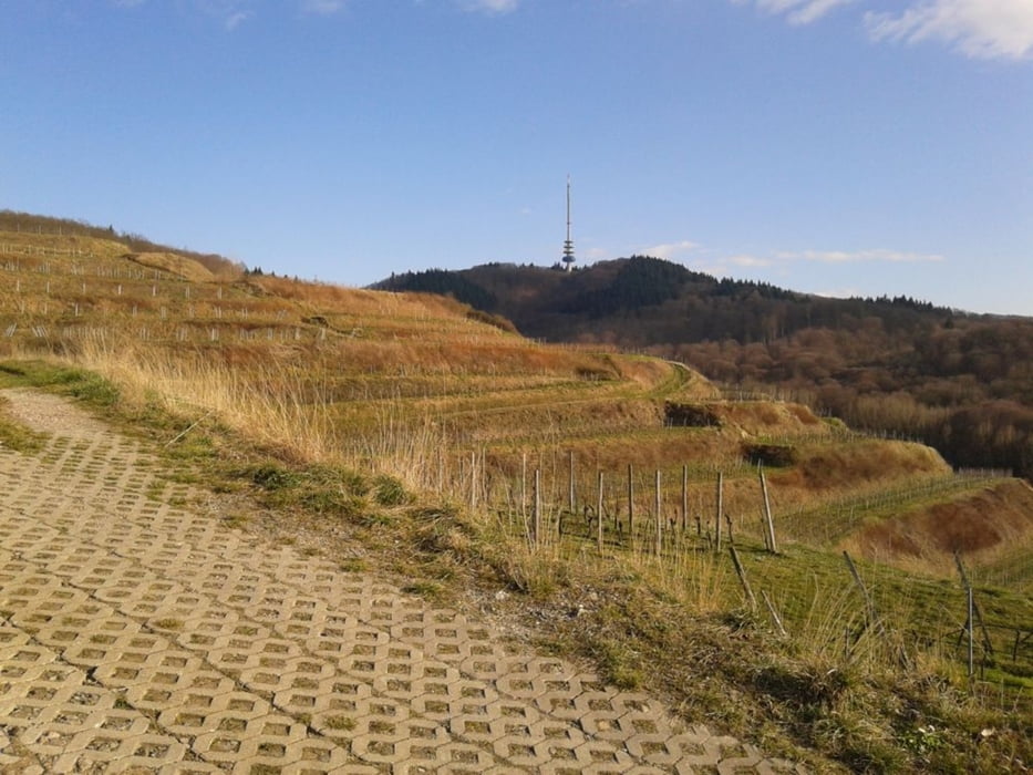
Gottenheim - Bötzingen - Steinbruch - Wächtelberg - Tannenloch Hütte - Robert Mayer Hütte - Eichelspitze - Schafmatten - Badberg - Hochberg - Oberbergen - Scheibenbuck - Kaiserstuhl - Strümpfle Köpfle - Bachus Brunnen - Bickensohl - Bitzenberg - Kreuzbuck - Lenzenberg - Fasanenhütte - Liliental - Wasenweiler - Gottenheim
- steile Single Trails (u.a. Eichelspitze)
- schöne Grastrails (u.a. Badberg)
- Hohlweg Trails (u.a. Bickensohl)
In Anlehnung an www.gps-tour.info/de/touren/detail.111314.html
Further information at
http://de.wikipedia.org/wiki/EichelspitzeGalerie du tour
Carte du tour et altitude
Minimum height 180 m
Maximum height 520 m
More about the tour author
|
|
messer1 |
Commentaires

More about the tour author
|
|
messer1 |
Add to my favorites
Remove from my favorites
Edit tags
Open track


My score
Rate