Login

Login oublié ?

Cookies have to be accepted!
Your browser's cookie functionality is disabled. Please enable this functionality.

Not a member yet?

Register now
Login

Available for registred users only

Log in to use this feature.

Login oublié ?

Cookies have to be accepted!
Your browser's cookie functionality is disabled. Please enable this functionality.

Not a member yet?

Register now
Filter
Catégories
Advanced filters
  • Longueur (km)
  • Altimètre
Enregistrer le filtre Reset filter

TrackRank

QRCode

Technical data

Longueur55,5 km Altimètre557 m Way down555 m Durée02:59 h:m Date09.03.2014
Evaluations Author User Paysage Aspect amusement Condition Technique

Statistiques

322 Vues Evaluations 15 Téléchargements Moyenne
Rate
  • Feuille de tours
  • Arrivée
  • Téléchargements

Tour startet in Metzingen bei Autoverleih Hartter über den Markhof nach Oferdingen

Dann den Radweg bis K'tellinsfurt durch den Wald Richtung Rotes Tor.

am Roten Tor rechts die Strasse entlang oder den Trail parallel zur Strasse.

Über  die Bundesstrasse durch das Tor zum abkürzen Geradeaus und die steile Abfahrt

runter oder rechts die parallele zu der Strasse ca 8-9km mehr.dann durch das Kirnbachtal Richtung Tübingen.

Von dort ausdas Neckartal abwärts nach Mittelstadt. Von dort an den Ausgangspunkt zurück.
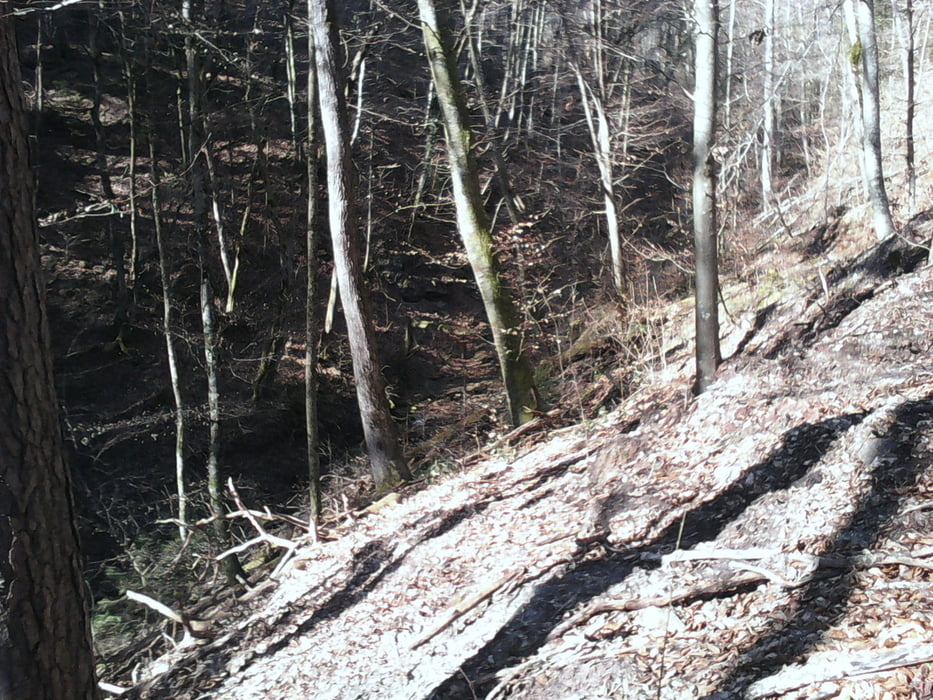
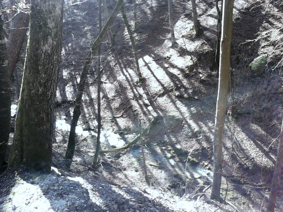
Galerie du tour

Carte du tour et altitude

  • Open Street Map
  • Google
Minimum height 307 m Maximum height 534 m Vue de détail

More about the tour author

Cokedealer
Member since 2013

Send private message

Commentaires

Tracks GPS

Trackpoints
  • GPX / Garmin Map Source (gpx) download
  • TCX / Garmin Training Center® (tcx) download
  • CRS / Garmin Training Center® (crs) download
  • Google Earth (kml) download
  • G7ToWin (g7t) download
  • TTQV (trk) download
  • Overlay (ovl) download
  • Fugawi (txt) download
  • Kompass (DAV) Track (tk) download
  • Feuille de tours (pdf) download
  • Original file of the author (gpx) download

More about the tour author

Cokedealer
Member since 2013

Send private message
Share track
Add to my favorites
Remove from my favorites
Edit tags
My score
Rate
Tour: Rotes Tor 2
Cat.: Mountainbike
Longueur: 55,5 km
Evaluated on:
Durée:
Day(s)
Hour(s)
Minute(s)
Evaluation: Paysage Aspect amusement Condition Technique