Login

Login oublié ?

Cookies have to be accepted!
Your browser's cookie functionality is disabled. Please enable this functionality.

Not a member yet?

Register now
Login

Available for registred users only

Log in to use this feature.

Login oublié ?

Cookies have to be accepted!
Your browser's cookie functionality is disabled. Please enable this functionality.

Not a member yet?

Register now
Filter
Catégories
Advanced filters
  • Longueur (km)
  • Altimètre
Enregistrer le filtre Reset filter

TrackRank

QRCode

Technical data

Longueur4,5 km Altimètre185 m Way down155 m Durée01:15 h:m Date28.06.2014
Evaluations Author User Paysage Aspect amusement Condition Technique

Statistiques

2022 Vues 1 Evaluation 162 Téléchargements 3.00 Moyenne
Rate
  • Feuille de tours
  • Arrivée
  • Téléchargements

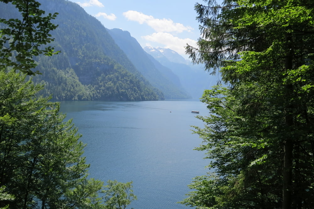
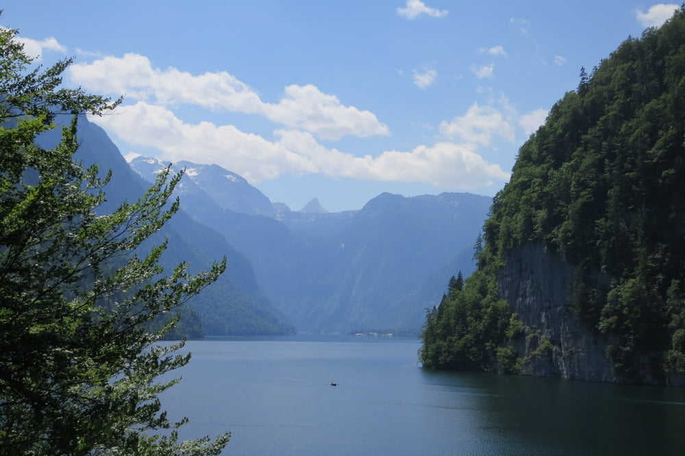
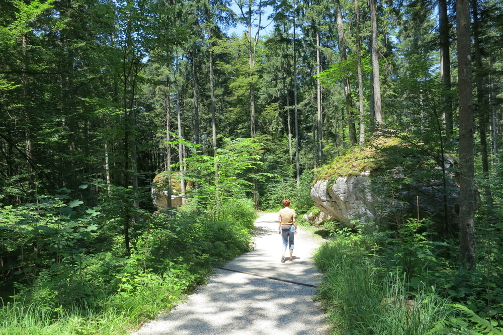
Einfache Waldwanderung mit teilweise schönen Aussichten auf den Königsee und Bartholomä.

Wir haben noch einen kleinen Abstecher zum Aussichtspunkt "Rabenwand" gemacht (ca. 15 Minuten). Der Steinige Weg (T2)  ist etwas Anspruchsvoller. Die Aussicht ist die gleiche wie die vorige.

Einkehrmöglichkeiten: Jenner Kaser;  wenn man die Runde umgekehrt macht, kann man im Kaffee Malerwinkel einkehren.

Parken: Auf dem großen Parkplatz in Schönau am Königsee (Gebührenpflichtig - mit Gästekarte etwas günstiger)


Further information at

http://de.wikipedia.org/wiki/Malerwinkel_%28K%C3%B6nigssee%29

Galerie du tour

Carte du tour et altitude

  • Open Street Map
  • Google
Minimum height 582 m Maximum height 758 m Vue de détail

More about the tour author

W-C
Member since 2010

Send private message

Commentaires

Anfahrt:

Von Berchtesgaden kommend, folgen Sie der B20 bis zum Großparkplatz Königssee in Schönau. Das Parken ist gebührenpflichtig (mit der Gästekarte etwas günstiger)

Parkplatz Koordinaten für das Navigationsgerät:

N 47° 35. 535´

E 12° 59. 287´


Tracks GPS

Trackpoints
  • GPX / Garmin Map Source (gpx) download
  • TCX / Garmin Training Center® (tcx) download
  • CRS / Garmin Training Center® (crs) download
  • Google Earth (kml) download
  • G7ToWin (g7t) download
  • TTQV (trk) download
  • Overlay (ovl) download
  • Fugawi (txt) download
  • Kompass (DAV) Track (tk) download
  • Feuille de tours (pdf) download
  • Original file of the author (gpx) download

More about the tour author

W-C
Member since 2010

Send private message
Share track
Add to my favorites
Remove from my favorites
Edit tags
My score
Rate
Tour: Rundwanderung Königsee-Malerwinkel
Cat.: Randonnées
Longueur: 4,5 km
Evaluated on:
Durée:
Day(s)
Hour(s)
Minute(s)
Evaluation: Paysage Aspect amusement Condition Technique