Login

Login oublié ?

Cookies have to be accepted!
Your browser's cookie functionality is disabled. Please enable this functionality.

Not a member yet?

Register now
Login

Available for registred users only

Log in to use this feature.

Login oublié ?

Cookies have to be accepted!
Your browser's cookie functionality is disabled. Please enable this functionality.

Not a member yet?

Register now
Filter
Catégories
Advanced filters
  • Longueur (km)
  • Altimètre
Enregistrer le filtre Reset filter

TrackRank

QRCode

Technical data

Longueur46,2 km Altimètre682 m Way down673 m Durée02:45 h:m Date23.07.2014
Evaluations Author Paysage Aspect amusement Condition Technique

Statistiques

422 Vues Evaluations 28 Téléchargements Moyenne
Rate
  • Feuille de tours
  • Arrivée
  • Téléchargements

Abfahrt an der Waldschenk in Sondelfingen oder in Metzingen.

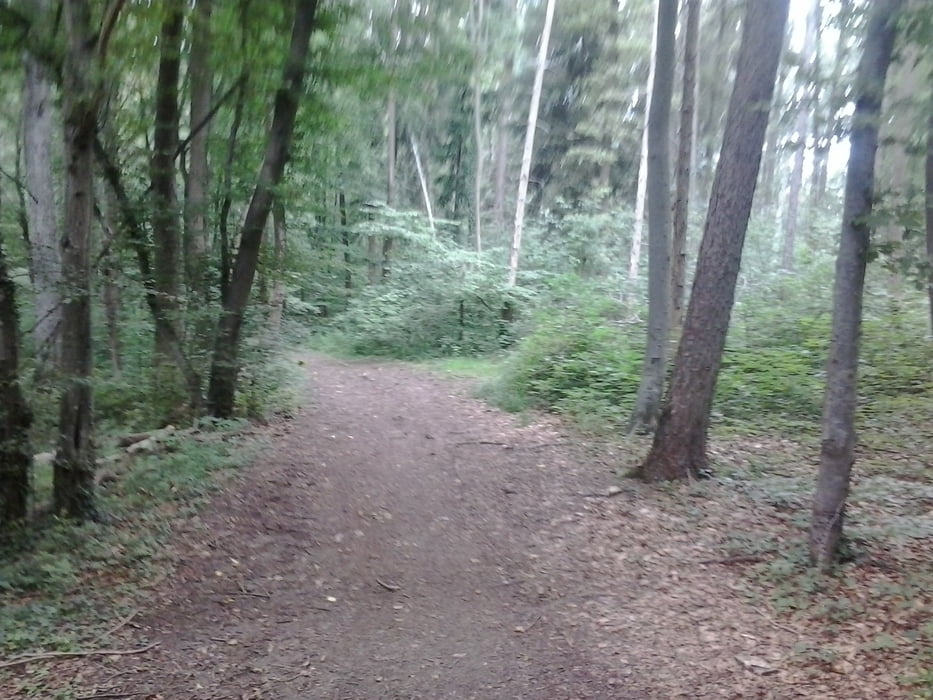
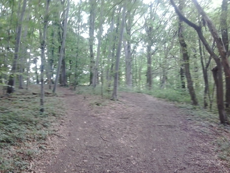
Über Waldweg und Singletrails um die Achalm herum nach Eningen.

Über den Rangenberghof zum Stausee nach Glems und dann nach Metzingen.

Durchs Outlett und über den Wippberg nach Sondelfingen.

Von dort durch die Stadt und über den Radweg nach Eningen.

Nach Hause durch den Wald mit Vollspeed.


Galerie du tour

Carte du tour et altitude

  • Open Street Map
  • Google
Minimum height 339 m Maximum height 578 m Vue de détail

More about the tour author

Cokedealer
Member since 2013

Send private message

Commentaires

Tracks GPS

Trackpoints
  • GPX / Garmin Map Source (gpx) download
  • TCX / Garmin Training Center® (tcx) download
  • CRS / Garmin Training Center® (crs) download
  • Google Earth (kml) download
  • G7ToWin (g7t) download
  • TTQV (trk) download
  • Overlay (ovl) download
  • Fugawi (txt) download
  • Kompass (DAV) Track (tk) download
  • Feuille de tours (pdf) download
  • Original file of the author (gpx) download

More about the tour author

Cokedealer
Member since 2013

Send private message
Share track
Add to my favorites
Remove from my favorites
Edit tags
My score
Rate
Tour: Achalm-Eningen-Stausee-Outlettcity-Eningen
Cat.: Mountainbike
Longueur: 46,2 km
Evaluated on:
Durée:
Day(s)
Hour(s)
Minute(s)
Evaluation: Paysage Aspect amusement Condition Technique