Login

Login oublié ?

Cookies have to be accepted!
Your browser's cookie functionality is disabled. Please enable this functionality.

Not a member yet?

Register now
Login

Available for registred users only

Log in to use this feature.

Login oublié ?

Cookies have to be accepted!
Your browser's cookie functionality is disabled. Please enable this functionality.

Not a member yet?

Register now
Filter
Catégories
Advanced filters
  • Longueur (km)
  • Altimètre
Enregistrer le filtre Reset filter

TrackRank

QRCode

Technical data

Longueur31,4 km Altimètre644 m Way down672 m Durée02:04 h:m Date06.09.2014
Evaluations Author User Paysage Aspect amusement Condition Technique

Statistiques

345 Vues 1 Evaluation 30 Téléchargements 4.00 Moyenne
Rate
  • Feuille de tours
  • Arrivée
  • Téléchargements

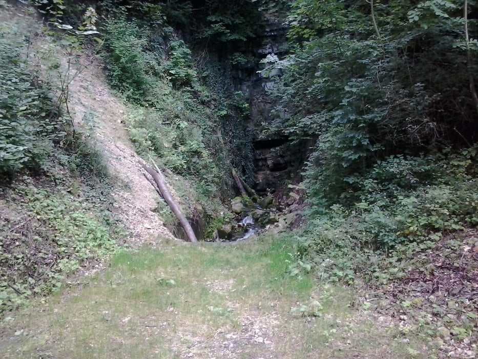
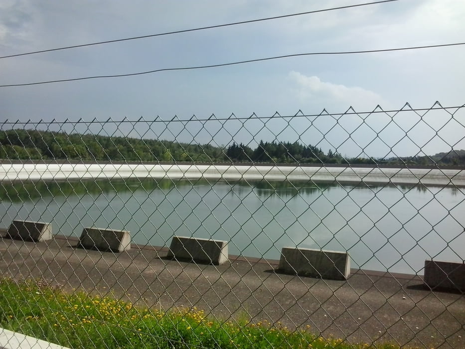
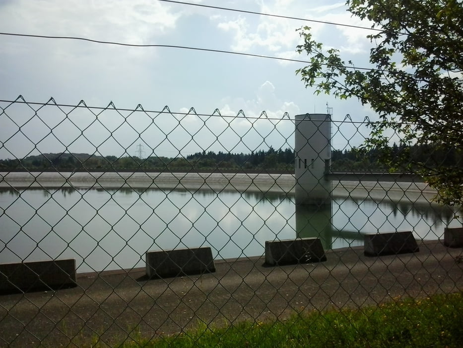
Start am Forsthof in Metzingen Dann übert den Stausee zum Grasberg von Dort über den obereen Stausee zum Wanderheim Eninger Weide.von dort geht es über die Höllenlöcher nach Glems und dann nach Metzingen


Galerie du tour

Carte du tour et altitude

  • Open Street Map
  • Google
Minimum height 341 m Maximum height 806 m Vue de détail

More about the tour author

Cokedealer
Member since 2013

Send private message

Commentaires

Tracks GPS

Trackpoints
  • GPX / Garmin Map Source (gpx) download
  • TCX / Garmin Training Center® (tcx) download
  • CRS / Garmin Training Center® (crs) download
  • Google Earth (kml) download
  • G7ToWin (g7t) download
  • TTQV (trk) download
  • Overlay (ovl) download
  • Fugawi (txt) download
  • Kompass (DAV) Track (tk) download
  • Feuille de tours (pdf) download
  • Original file of the author (gpx) download

More about the tour author

Cokedealer
Member since 2013

Send private message
Share track
Add to my favorites
Remove from my favorites
Edit tags
My score
Rate
Tour: Stauseerunde und Höllenlöcher
Cat.: Mountainbike
Longueur: 31,4 km
Evaluated on:
Durée:
Day(s)
Hour(s)
Minute(s)
Evaluation: Paysage Aspect amusement Condition Technique