Login

Login oublié ?

Cookies have to be accepted!
Your browser's cookie functionality is disabled. Please enable this functionality.

Not a member yet?

Register now
Login

Available for registred users only

Log in to use this feature.

Login oublié ?

Cookies have to be accepted!
Your browser's cookie functionality is disabled. Please enable this functionality.

Not a member yet?

Register now
Filter
Catégories
Advanced filters
  • Longueur (km)
  • Altimètre
Enregistrer le filtre Reset filter

TrackRank

QRCode

Technical data

Longueur63,0 km Altimètre1239 m Way down1249 m Durée03:30 h:m Date20.10.2014
Evaluations Author User Paysage Aspect amusement Condition Technique

Statistiques

282 Vues Evaluations 44 Téléchargements Moyenne
Rate
  • Feuille de tours
  • Arrivée
  • Téléchargements

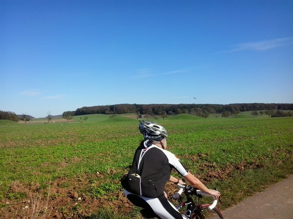
Start in Metzingen nach Hülben an den Keltengräbern vorbei nach Grabenstetten von dortaus

nach Zainingen und über den Truppenübungsplatz nach Gruorn (am Wochenende Einkehrmöglichkeit).von dort aus über das Uhenfelser Hofgut nach Seeburg.Mit dem Rennrad der Strasse folgen nach Bad Urach.Ich war mit MtB unterwegs und konnte den Grünen Weg nach Bad Urach benutzen.Von Urach aus entweder an der Bleiche entlang,oder durchs Kurgebiet über das Kirschensträßle nach Metzingen


Galerie du tour

Carte du tour et altitude

  • Open Street Map
  • Google
Minimum height 343 m Maximum height 832 m Vue de détail

More about the tour author

Cokedealer
Member since 2013

Send private message

Commentaires

Tracks GPS

Trackpoints
  • GPX / Garmin Map Source (gpx) download
  • TCX / Garmin Training Center® (tcx) download
  • CRS / Garmin Training Center® (crs) download
  • Google Earth (kml) download
  • G7ToWin (g7t) download
  • TTQV (trk) download
  • Overlay (ovl) download
  • Fugawi (txt) download
  • Kompass (DAV) Track (tk) download
  • Feuille de tours (pdf) download
  • Original file of the author (gpx) download

More about the tour author

Cokedealer
Member since 2013

Send private message
Share track
Add to my favorites
Remove from my favorites
Edit tags
My score
Rate
Tour: Zum Truppenübungsplatz
Cat.: Vélo de course
Longueur: 63,0 km
Evaluated on:
Durée:
Day(s)
Hour(s)
Minute(s)
Evaluation: Paysage Aspect amusement Condition Technique