Login

Login oublié ?

Cookies have to be accepted!
Your browser's cookie functionality is disabled. Please enable this functionality.

Not a member yet?

Register now
Login

Available for registred users only

Log in to use this feature.

Login oublié ?

Cookies have to be accepted!
Your browser's cookie functionality is disabled. Please enable this functionality.

Not a member yet?

Register now
Filter
Catégories
Advanced filters
  • Longueur (km)
  • Altimètre
Enregistrer le filtre Reset filter

TrackRank

QRCode

Technical data

Longueur7,6 km Altimètre223 m Way down214 m Durée02:00 h:m Date16.12.2014
Evaluations Author Paysage Aspect amusement Condition Technique

Statistiques

795 Vues Evaluations 141 Téléchargements Moyenne
Rate
  • Feuille de tours
  • Arrivée
  • Téléchargements

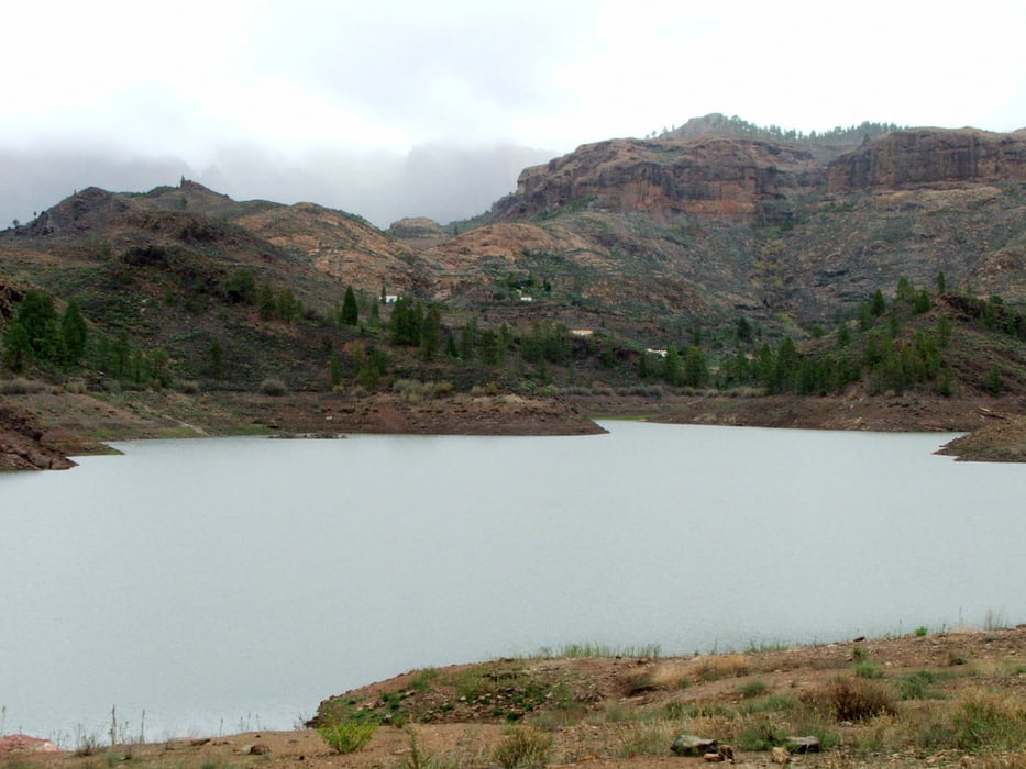
Runde um den Stausee von Chira

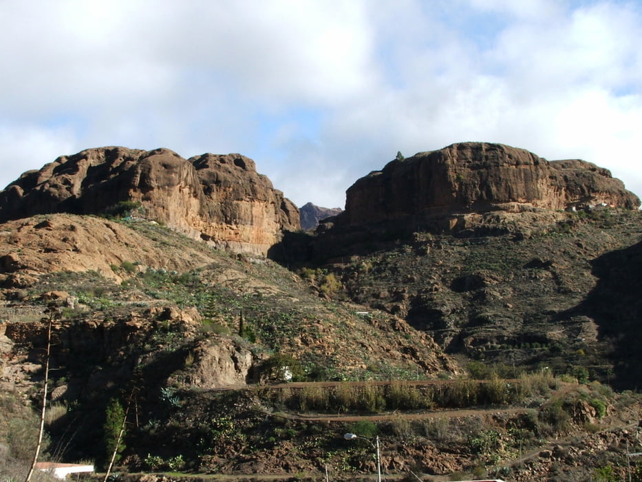
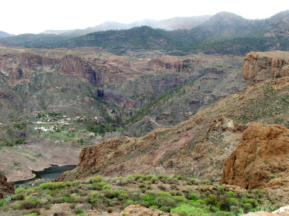
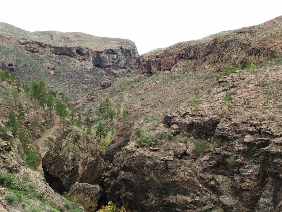
Die Wanderung führt von Los Cercados über Fahrwege nach Lomo de la Palma. Dort ist der Weg schwer zu finden: man muss möglichst weit links die Mulde durchqueren, bevor man wieder einen Fahrweg erreicht. Kurz darauf ist rechts die Presa de Soria zu sehen. Weiter in nordöstlicher Richtung, rechts zur Staumauer und die letzten 1,7 Kilometer an der Straße entlang.


Galerie du tour

Carte du tour et altitude

  • Open Street Map
  • Google
Minimum height 904 m Maximum height 1005 m Vue de détail

More about the tour author

lothardomnik
Member since 2009

Send private message

Commentaires

Die Presa de Chira erreicht man nur mit dem Auto über die Landstraße GC-604. Diese führt von El Tablero (bei Maspalomas) ins Gebirge und stößt da auf die GC-60. Aus Richtung Norden über Tejeda oder Osten über San Bartolomé von der GC-60 nach Süden auf die GC-604 abbiegen.

Tracks GPS

Trackpoints
  • GPX / Garmin Map Source (gpx) download
  • TCX / Garmin Training Center® (tcx) download
  • CRS / Garmin Training Center® (crs) download
  • Google Earth (kml) download
  • G7ToWin (g7t) download
  • TTQV (trk) download
  • Overlay (ovl) download
  • Fugawi (txt) download
  • Kompass (DAV) Track (tk) download
  • Feuille de tours (pdf) download
  • Original file of the author (gpx) download

More about the tour author

lothardomnik
Member since 2009

Send private message
Share track
Add to my favorites
Remove from my favorites
Edit tags
My score
Rate
Tour: Gran Canaria: Presa de Chira
Cat.: Randonnées
Longueur: 7,6 km
Evaluated on:
Durée:
Day(s)
Hour(s)
Minute(s)
Evaluation: Paysage Aspect amusement Condition Technique