Login

Login oublié ?

Cookies have to be accepted!
Your browser's cookie functionality is disabled. Please enable this functionality.

Not a member yet?

Register now
Login

Available for registred users only

Log in to use this feature.

Login oublié ?

Cookies have to be accepted!
Your browser's cookie functionality is disabled. Please enable this functionality.

Not a member yet?

Register now
Filter
Catégories
Advanced filters
  • Longueur (km)
  • Altimètre
Enregistrer le filtre Reset filter

TrackRank

QRCode

Technical data

Longueur13,9 km Altimètre849 m Way down833 m Durée00:00 h:m Date09.02.2015
Evaluations Author Paysage Aspect amusement Condition Technique

Statistiques

399 Vues Evaluations 11 Téléchargements Moyenne
Rate
  • Feuille de tours
  • Arrivée
  • Téléchargements

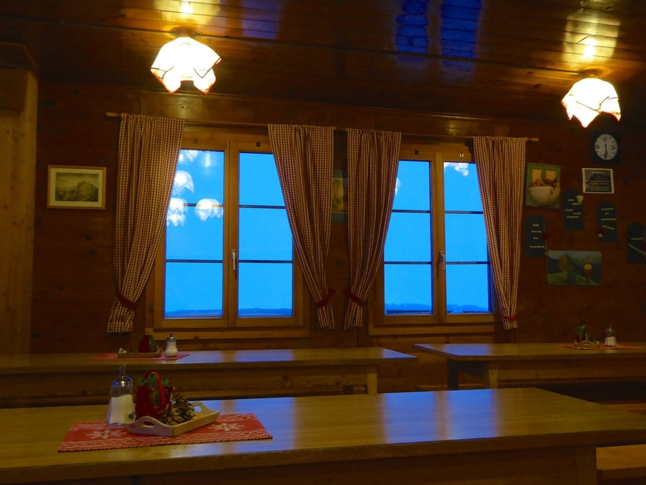
Super geeignet für ein 2 Tages Trip in die Berge.

Am ersten Tag rauf und in der Berghütte "chalet du soldat" übernachten und am zweiten Tag wieder runter laufen.

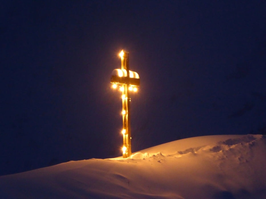
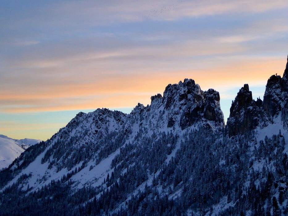
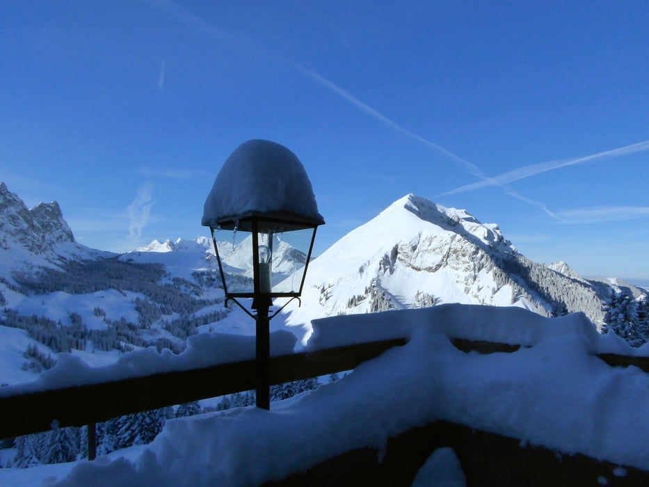
Der Aufstieg hat es in sich dafür ist die Landschaft umso schöner.


Galerie du tour

Carte du tour et altitude

  • Open Street Map
  • Google
Minimum height 983 m Maximum height 1756 m Vue de détail

More about the tour author

zoetteler
Member since 2011

Send private message

Commentaires

Mit dem ÖV leicht zu erreichen. 

Tracks GPS

Trackpoints
  • GPX / Garmin Map Source (gpx) download
  • TCX / Garmin Training Center® (tcx) download
  • CRS / Garmin Training Center® (crs) download
  • Google Earth (kml) download
  • G7ToWin (g7t) download
  • TTQV (trk) download
  • Overlay (ovl) download
  • Fugawi (txt) download
  • Kompass (DAV) Track (tk) download
  • Feuille de tours (pdf) download
  • Original file of the author (gpx) download

More about the tour author

zoetteler
Member since 2011

Send private message
Share track
Add to my favorites
Remove from my favorites
Edit tags
My score
Rate
Tour: Chalet du Soldat
Cat.: Raquette
Longueur: 13,9 km
Evaluated on:
Durée:
Day(s)
Hour(s)
Minute(s)
Evaluation: Paysage Aspect amusement Condition Technique