Login

Login oublié ?

Cookies have to be accepted!
Your browser's cookie functionality is disabled. Please enable this functionality.

Not a member yet?

Register now
Login

Available for registred users only

Log in to use this feature.

Login oublié ?

Cookies have to be accepted!
Your browser's cookie functionality is disabled. Please enable this functionality.

Not a member yet?

Register now
Filter
Catégories
Advanced filters
  • Longueur (km)
  • Altimètre
Enregistrer le filtre Reset filter

TrackRank

QRCode

Technical data

Longueur307,4 km Altimètre5817 m Way down5835 m Durée07:50 h:m Date17.06.2015
Evaluations Author Paysage Aspect amusement Condition Technique

Statistiques

1083 Vues Evaluations 39 Téléchargements Moyenne
Rate
  • Feuille de tours
  • Arrivée
  • Téléchargements

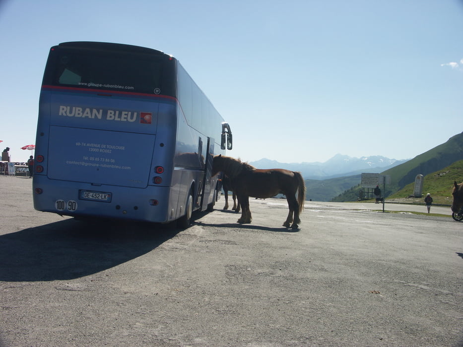
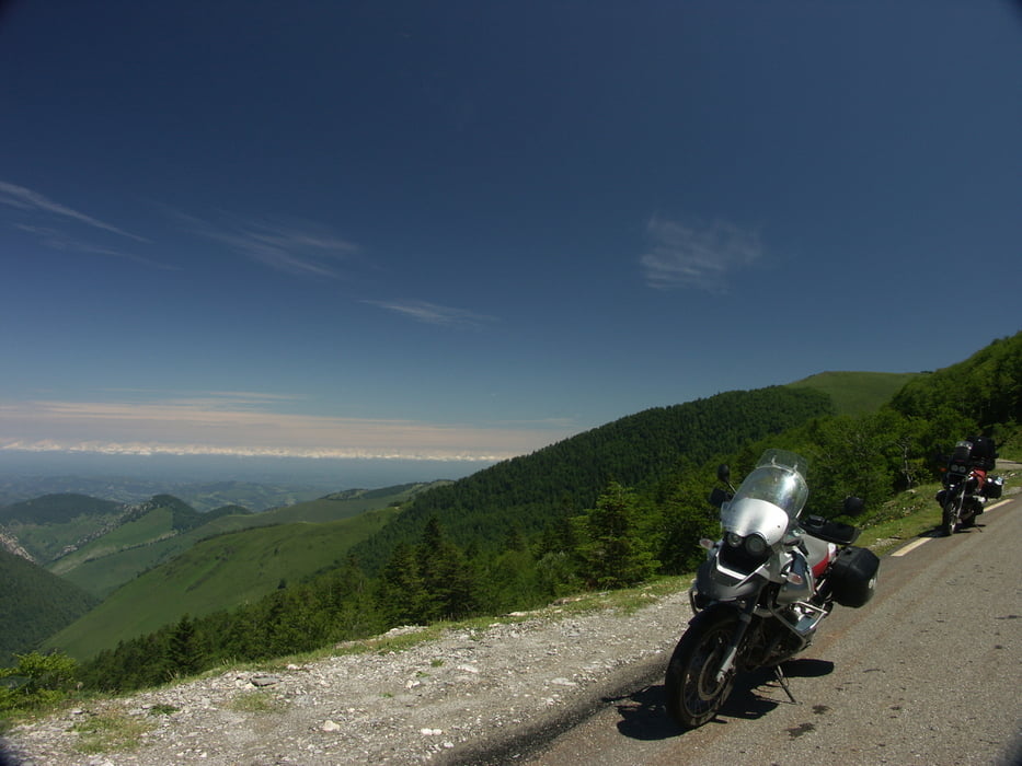
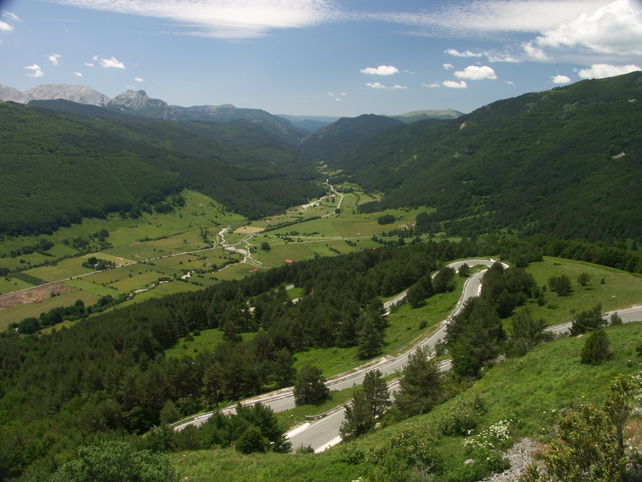
Ausgedehnte Pyrenäen - Tour über die Col de Soulor, Col d'Aubisque, Col de Marie Blanque, Col de Pierre Saint Martin, Port de Larrau, Col d'Erroymendi


Galerie du tour

Carte du tour et altitude

  • Open Street Map
  • Google
Minimum height 229 m Maximum height 1772 m Vue de détail

More about the tour author

GSAli
Member since 2009

Send private message

Commentaires

Tracks GPS

Trackpoints
  • GPX / Garmin Map Source (gpx) download
  • TCX / Garmin Training Center® (tcx) download
  • CRS / Garmin Training Center® (crs) download
  • Google Earth (kml) download
  • G7ToWin (g7t) download
  • TTQV (trk) download
  • Overlay (ovl) download
  • Fugawi (txt) download
  • Kompass (DAV) Track (tk) download
  • Feuille de tours (pdf) download
  • Original file of the author (gpx) download

More about the tour author

GSAli
Member since 2009

Send private message
Share track
Add to my favorites
Remove from my favorites
Edit tags
My score
Rate
Tour: Col de la Pierre Saint Martin - Port de Larrau
Cat.: Moto
Longueur: 307,4 km
Evaluated on:
Durée:
Day(s)
Hour(s)
Minute(s)
Evaluation: Paysage Aspect amusement Condition Technique