Login

Login oublié ?

Cookies have to be accepted!
Your browser's cookie functionality is disabled. Please enable this functionality.

Not a member yet?

Register now
Login

Available for registred users only

Log in to use this feature.

Login oublié ?

Cookies have to be accepted!
Your browser's cookie functionality is disabled. Please enable this functionality.

Not a member yet?

Register now
Filter
Catégories
Advanced filters
  • Longueur (km)
  • Altimètre
Enregistrer le filtre Reset filter

TrackRank

QRCode

Technical data

Longueur50,7 km Altimètre1722 m Way down1714 m Durée00:00 h:m Date06.10.2015
Evaluations Author Paysage Aspect amusement Condition Technique

Statistiques

478 Vues Evaluations 85 Téléchargements Moyenne
Rate
  • Feuille de tours
  • Arrivée
  • Téléchargements

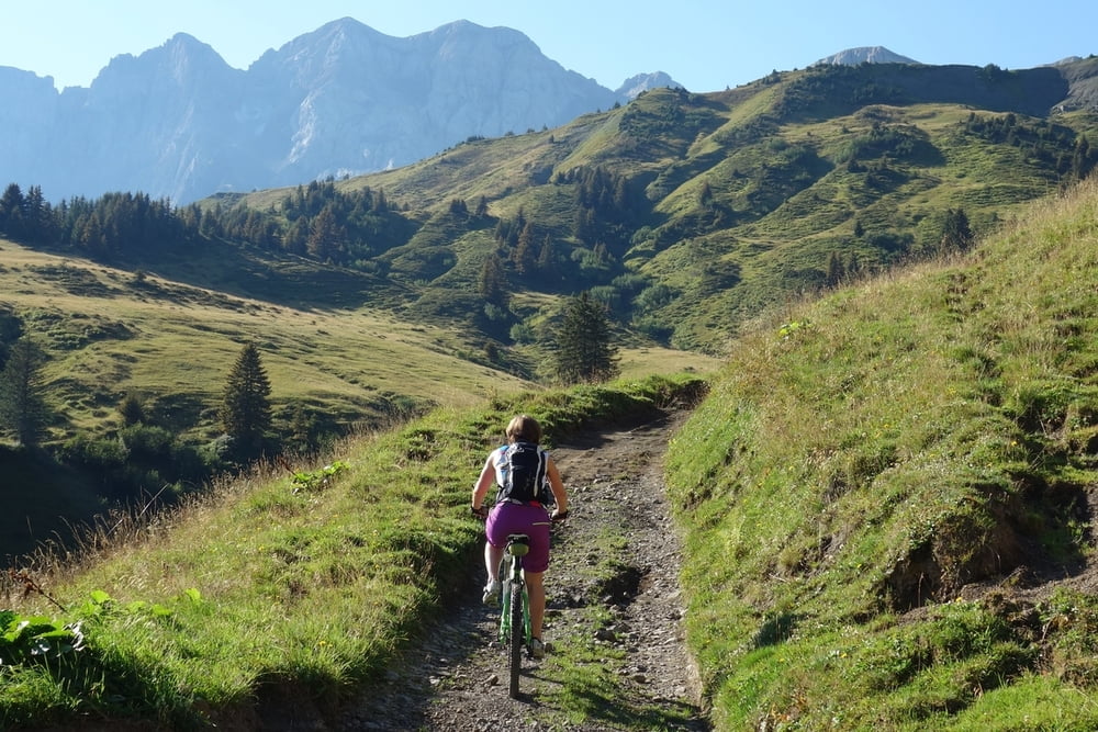
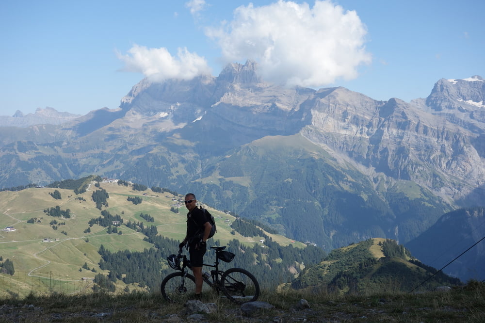
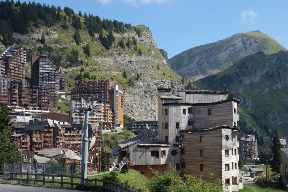
Schöne Runde über den Col de Cou. Nach Morzine und über Avoriaz, skuriler Skiort, über die Chavanette (im Winter wegen der Steilheit auch Schweizer Wand genannt) zurück nach Les Croset


Galerie du tour

Carte du tour et altitude

  • Open Street Map
  • Google
Minimum height 941 m Maximum height 2139 m Vue de détail

More about the tour author

haaaatz
Member since 2011

Send private message

Commentaires

Tracks GPS

Trackpoints
  • GPX / Garmin Map Source (gpx) download
  • TCX / Garmin Training Center® (tcx) download
  • CRS / Garmin Training Center® (crs) download
  • Google Earth (kml) download
  • G7ToWin (g7t) download
  • TTQV (trk) download
  • Overlay (ovl) download
  • Fugawi (txt) download
  • Kompass (DAV) Track (tk) download
  • Feuille de tours (pdf) download
  • Original file of the author (gpx) download

More about the tour author

haaaatz
Member since 2011

Send private message
Share track
Add to my favorites
Remove from my favorites
Edit tags
My score
Rate
Tour: Col de Cou - Morzine
Cat.: Mountainbike
Longueur: 50,7 km
Evaluated on:
Durée:
Day(s)
Hour(s)
Minute(s)
Evaluation: Paysage Aspect amusement Condition Technique