Login

Login oublié ?

Cookies have to be accepted!
Your browser's cookie functionality is disabled. Please enable this functionality.

Not a member yet?

Register now
Login

Available for registred users only

Log in to use this feature.

Login oublié ?

Cookies have to be accepted!
Your browser's cookie functionality is disabled. Please enable this functionality.

Not a member yet?

Register now
Filter
Catégories
Advanced filters
  • Longueur (km)
  • Altimètre
Enregistrer le filtre Reset filter

TrackRank

QRCode

Technical data

Longueur18,9 km Altimètre335 m Way down335 m Durée01:30 h:m Date28.02.2016
Evaluations Author Paysage Aspect amusement Condition Technique

Statistiques

144 Vues Evaluations 10 Téléchargements Moyenne
Rate
  • Feuille de tours
  • Arrivée
  • Téléchargements

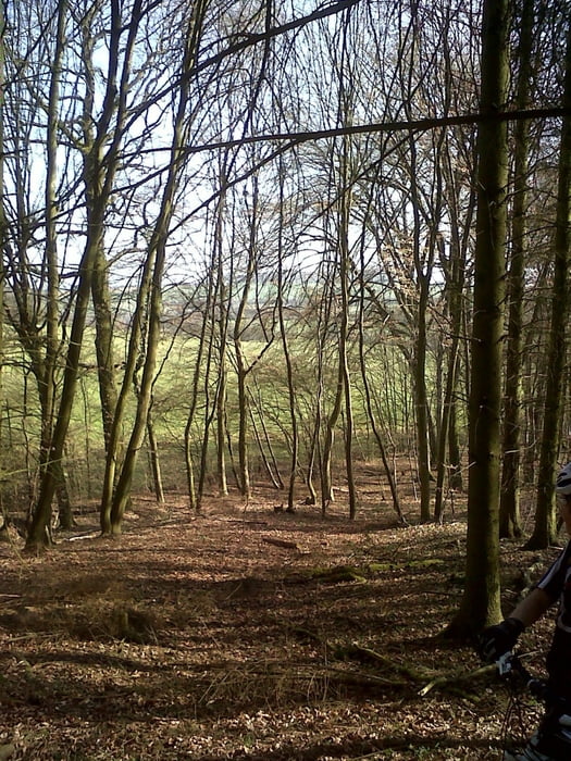
Durch die Wälder Lothringens...

Schotterpisten wechseln sich mit Singletrails ab. Mit kurzen aber starken Rampen. Zwischenbereiche müssen (leider) auf der Straße gefahren werden, da durchgängige Waldwege in Frankreichs Osten eher selten sind.
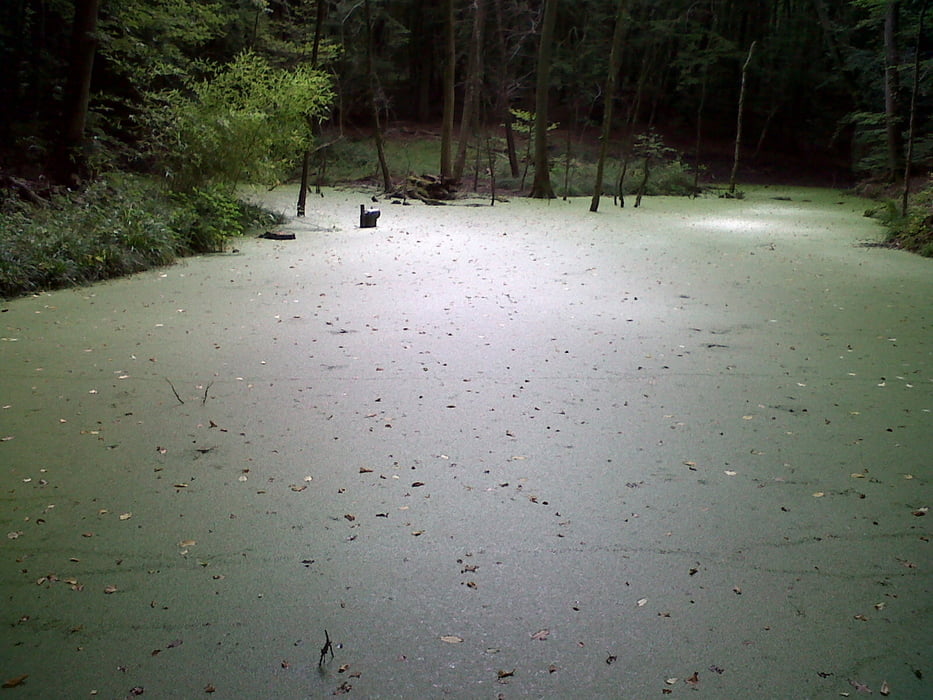
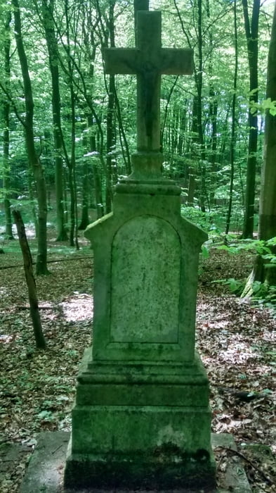
 

Galerie du tour

Carte du tour et altitude

  • Open Street Map
  • Google
Minimum height 200 m Maximum height 316 m Vue de détail

More about the tour author

Veloce
Member since 2016

Send private message

Commentaires

Von Bouzonville der Beschilderung Richtung METZ folgen. Im folgenden Ort VAUDRECHING an der Ampel links abbiegen. Parkmöglichkeit neben dem Restaurant "Relais du Campagnard".

Tracks GPS

Trackpoints
  • GPX / Garmin Map Source (gpx) download
  • TCX / Garmin Training Center® (tcx) download
  • CRS / Garmin Training Center® (crs) download
  • Google Earth (kml) download
  • G7ToWin (g7t) download
  • TTQV (trk) download
  • Overlay (ovl) download
  • Fugawi (txt) download
  • Kompass (DAV) Track (tk) download
  • Feuille de tours (pdf) download
  • Original file of the author (gpx) download

More about the tour author

Veloce
Member since 2016

Send private message
Share track
Add to my favorites
Remove from my favorites
Edit tags
My score
Rate
Tour: Forêt de Vaudreching
Cat.: Mountainbike
Longueur: 18,9 km
Evaluated on:
Durée:
Day(s)
Hour(s)
Minute(s)
Evaluation: Paysage Aspect amusement Condition Technique