Login

Login oublié ?

Cookies have to be accepted!
Your browser's cookie functionality is disabled. Please enable this functionality.

Not a member yet?

Register now
Login

Available for registred users only

Log in to use this feature.

Login oublié ?

Cookies have to be accepted!
Your browser's cookie functionality is disabled. Please enable this functionality.

Not a member yet?

Register now
Filter
Catégories
Advanced filters
  • Longueur (km)
  • Altimètre
Enregistrer le filtre Reset filter

TrackRank

QRCode

Technical data

Longueur10,7 km Altimètre511 m Way down504 m Durée05:30 h:m Date02.03.2016
Evaluations Author Paysage Aspect amusement Condition Technique

Statistiques

377 Vues Evaluations 14 Téléchargements Moyenne
Rate
  • Feuille de tours
  • Arrivée
  • Téléchargements

Von der Villa Hermine auf der Dorfstraße hinüber zur Kirche. Gleich danach links auf den schmalen Pfad und weiter vorerst weglos aufwärts. Auf einem gut sichtbaren Pfad vorbei an einem Heustadel und nahezu eben weiter zu einem Sattel.

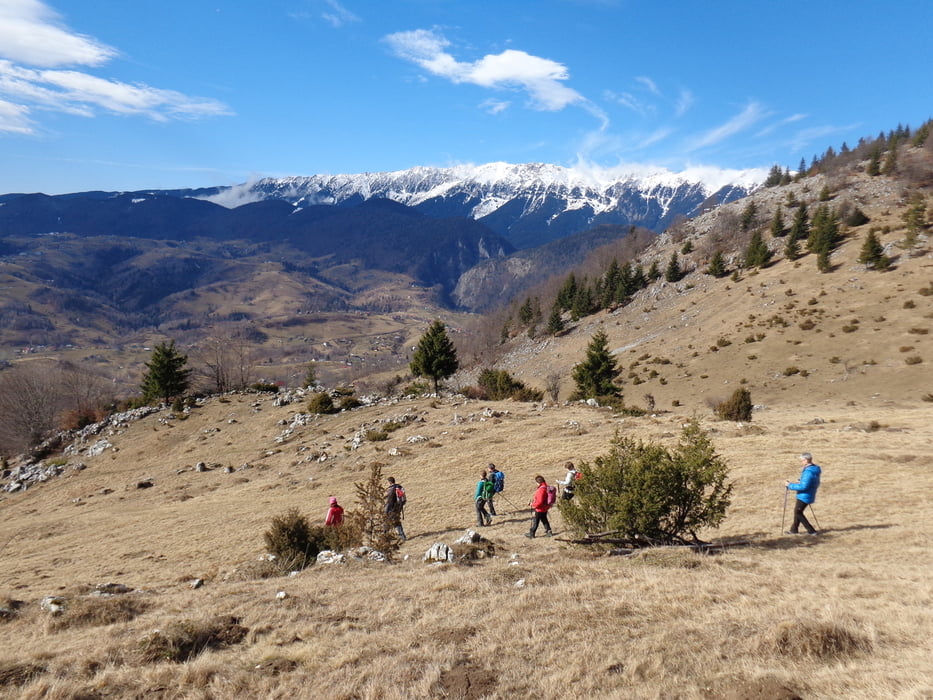
Hier leicht abwärts zum Waldrand und dem markierten Weg durch den Wald zum Sattel Vf. Prislopului. Schöne Ausblicke ins Burzental und zu den Kalibaschendörfern Magura und Pestera.

Der Vf. Galbinarea wird im Wald nördlich umgangen, am Schluss ein kleines Steilstück hinauf zu einem weiteren Sattel vor dem Berg Magura Mica.

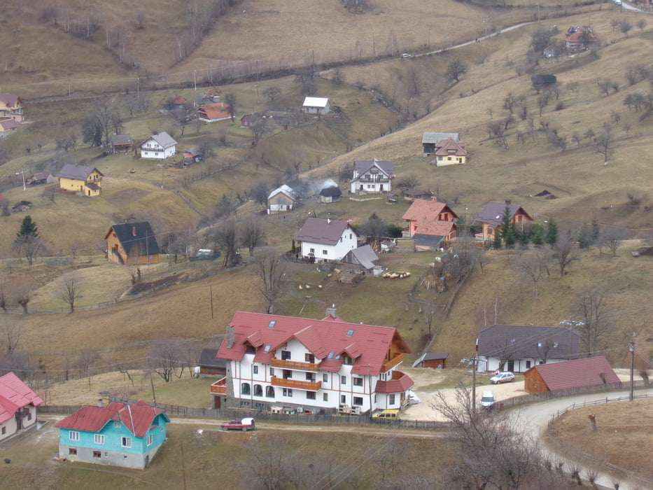
Hinunter zur Dorfstraße. Noch vor der Kirche links einen schmalen Weg hinunter ins Tal und hinauf zu weiteren Häusern von Magura. Hier auf der Straße zurück zum Ausgangspunkt.

Einkehr in der "Dorfkneipe" von Magura (Vor der Kirche) sehr empfehlenswert!


Further information at

http://www.cntours.eu/villa_hermani.htm

Galerie du tour

Carte du tour et altitude

  • Open Street Map
  • Google
Minimum height 926 m Maximum height 1305 m Vue de détail

More about the tour author

JoHangler
Member since 2013

Send private message

Commentaires

Von Brasvov kommend, nach Zarnesti und den Wegweisern folgend hinauf in das Bergdorf Magura.


Tracks GPS

Trackpoints
  • GPX / Garmin Map Source (gpx) download
  • TCX / Garmin Training Center® (tcx) download
  • CRS / Garmin Training Center® (crs) download
  • Google Earth (kml) download
  • G7ToWin (g7t) download
  • TTQV (trk) download
  • Overlay (ovl) download
  • Fugawi (txt) download
  • Kompass (DAV) Track (tk) download
  • Feuille de tours (pdf) download
  • Original file of the author (gpx) download

More about the tour author

JoHangler
Member since 2013

Send private message
Share track
Add to my favorites
Remove from my favorites
Edit tags
My score
Rate
Tour: Rund um Magura
Cat.: Randonnées
Longueur: 10,7 km
Evaluated on:
Durée:
Day(s)
Hour(s)
Minute(s)
Evaluation: Paysage Aspect amusement Condition Technique