Login

Login oublié ?

Cookies have to be accepted!
Your browser's cookie functionality is disabled. Please enable this functionality.

Not a member yet?

Register now
Login

Available for registred users only

Log in to use this feature.

Login oublié ?

Cookies have to be accepted!
Your browser's cookie functionality is disabled. Please enable this functionality.

Not a member yet?

Register now
Filter
Catégories
Advanced filters
  • Longueur (km)
  • Altimètre
Enregistrer le filtre Reset filter

TrackRank

QRCode

Technical data

Longueur11,6 km Altimètre57 m Way down58 m Durée02:00 h:m Date06.03.2016
Evaluations Author Paysage Aspect amusement Condition Technique

Statistiques

198 Vues Evaluations 5 Téléchargements Moyenne
Rate
  • Feuille de tours
  • Arrivée
  • Téléchargements

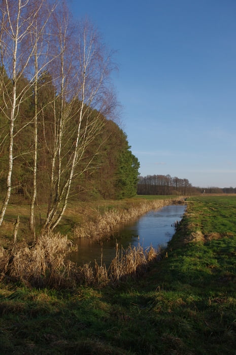
Nette flache Wanderung durch Feld und Wald.

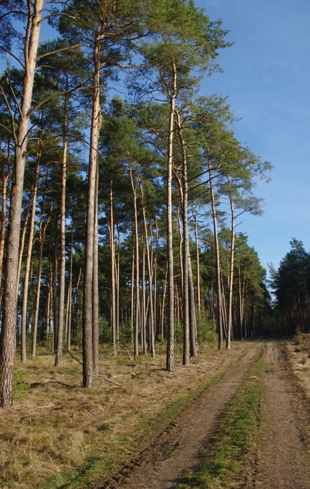
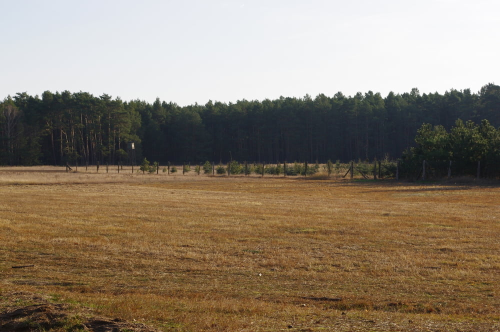
Bei der Kirche in Liebätz geht es los. Bei kaltem Gegenwind wanderten wir zu den Spargelfeldern und dann weiter in den Wald. Wir verfolgten den Forstweg bis zum Forsthaus und hatten das Glück Damwild zu beobachten.
Am Forsthaus bogen wir nach rechts ab und verfolgten den Forstweg fast bis nach Märtensmühle wo wir nach Süden abbogen und an einem Spargelfeld entlang auf den bekannten Weg kamen. Auf diesem legten wir den letzten Rest des Weges zur Kirche von Liebätz zurück.


Further information at

https://de.wikipedia.org/wiki/Naturpark_Nuthe-Nieplitz

Galerie du tour

Carte du tour et altitude

  • Open Street Map
  • Google
Minimum height 37 m Maximum height 63 m Vue de détail

More about the tour author

Pheinz
Member since 2009

Send private message

Commentaires

Bei der Kirche in Liebätz ist der Start- und Zielpunkt.

Tracks GPS

Trackpoints
  • GPX / Garmin Map Source (gpx) download
  • TCX / Garmin Training Center® (tcx) download
  • CRS / Garmin Training Center® (crs) download
  • Google Earth (kml) download
  • G7ToWin (g7t) download
  • TTQV (trk) download
  • Overlay (ovl) download
  • Fugawi (txt) download
  • Kompass (DAV) Track (tk) download
  • Feuille de tours (pdf) download
  • Original file of the author (gpx) download

More about the tour author

Pheinz
Member since 2009

Send private message
Share track
Add to my favorites
Remove from my favorites
Edit tags
My score
Rate
Tour: Bärluchweg
Cat.: Randonnées
Longueur: 11,6 km
Evaluated on:
Durée:
Day(s)
Hour(s)
Minute(s)
Evaluation: Paysage Aspect amusement Condition Technique