Login

Login oublié ?

Cookies have to be accepted!
Your browser's cookie functionality is disabled. Please enable this functionality.

Not a member yet?

Register now
Login

Available for registred users only

Log in to use this feature.

Login oublié ?

Cookies have to be accepted!
Your browser's cookie functionality is disabled. Please enable this functionality.

Not a member yet?

Register now
Filter
Catégories
Advanced filters
  • Longueur (km)
  • Altimètre
Enregistrer le filtre Reset filter

TrackRank

QRCode

Technical data

Longueur31,4 km Altimètre305 m Way down305 m Durée02:00 h:m Date06.03.2016
Evaluations Author Paysage Aspect amusement Condition Technique

Statistiques

257 Vues Evaluations 2 Téléchargements Moyenne
Rate
  • Feuille de tours
  • Arrivée
  • Téléchargements
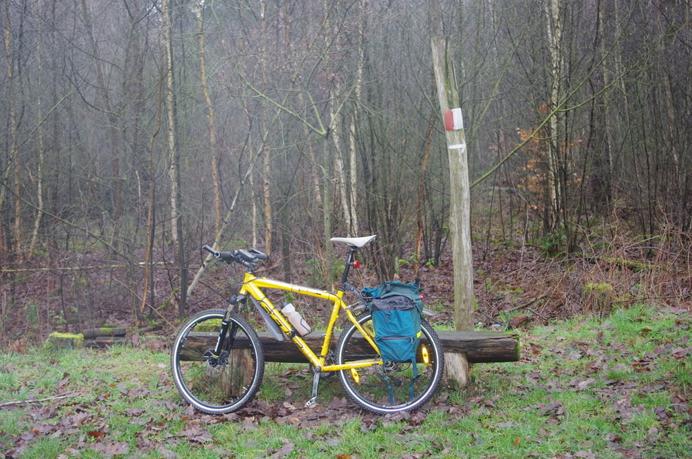
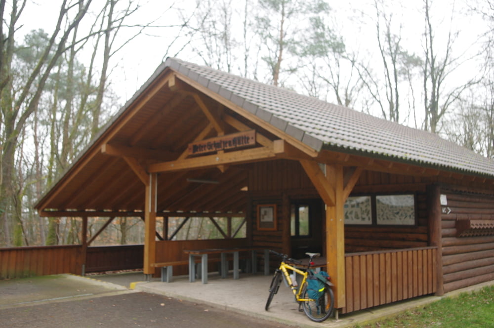
Von Homburg Schwarzenbach nach Schwarzenacker und dann das Lambsbachtal am Audenkeller Hof vorbei nach Kirrberg. Von hier weiter das Tal hoch bis nach Bechhofen.
Bechhofen verließ ich nach Norden um mir dann meinen Weg durch den Wald nach Sanddorf zu suchen. Weiter fuhr ich nach Norden in Richtung Autobahn um dann nach Westen zur Anschlußstelle Homburg zu radeln. An der B423 fuhr dann nach Homburg und weiter bis zum Ausgangspunkt.

Further information at

https://de.wikipedia.org/wiki/Landkreis_S%C3%BCdwestpfalz

Galerie du tour

Carte du tour et altitude

  • Open Street Map
  • Google
Minimum height 228 m Maximum height 317 m Vue de détail

More about the tour author

Pheinz
Member since 2009

Send private message

Commentaires

Start und Ziel in Homburg Schwarzenbach.

Tracks GPS

Trackpoints
  • GPX / Garmin Map Source (gpx) download
  • TCX / Garmin Training Center® (tcx) download
  • CRS / Garmin Training Center® (crs) download
  • Google Earth (kml) download
  • G7ToWin (g7t) download
  • TTQV (trk) download
  • Overlay (ovl) download
  • Fugawi (txt) download
  • Kompass (DAV) Track (tk) download
  • Feuille de tours (pdf) download
  • Original file of the author (gpx) download

More about the tour author

Pheinz
Member since 2009

Send private message
Share track
Add to my favorites
Remove from my favorites
Edit tags
My score
Rate
Tour: Sickinger Höhe
Cat.: Touring vélo
Longueur: 31,4 km
Evaluated on:
Durée:
Day(s)
Hour(s)
Minute(s)
Evaluation: Paysage Aspect amusement Condition Technique