Login

Login oublié ?

Cookies have to be accepted!
Your browser's cookie functionality is disabled. Please enable this functionality.

Not a member yet?

Register now
Login

Available for registred users only

Log in to use this feature.

Login oublié ?

Cookies have to be accepted!
Your browser's cookie functionality is disabled. Please enable this functionality.

Not a member yet?

Register now
Filter
Catégories
Advanced filters
  • Longueur (km)
  • Altimètre
Enregistrer le filtre Reset filter

TrackRank

QRCode

Technical data

Longueur16,9 km Altimètre1377 m Way down1362 m Durée07:00 h:m Date27.03.2016
Evaluations Author Paysage Aspect amusement Condition Technique

Statistiques

409 Vues Evaluations 11 Téléchargements Moyenne
Rate
  • Feuille de tours
  • Arrivée
  • Téléchargements
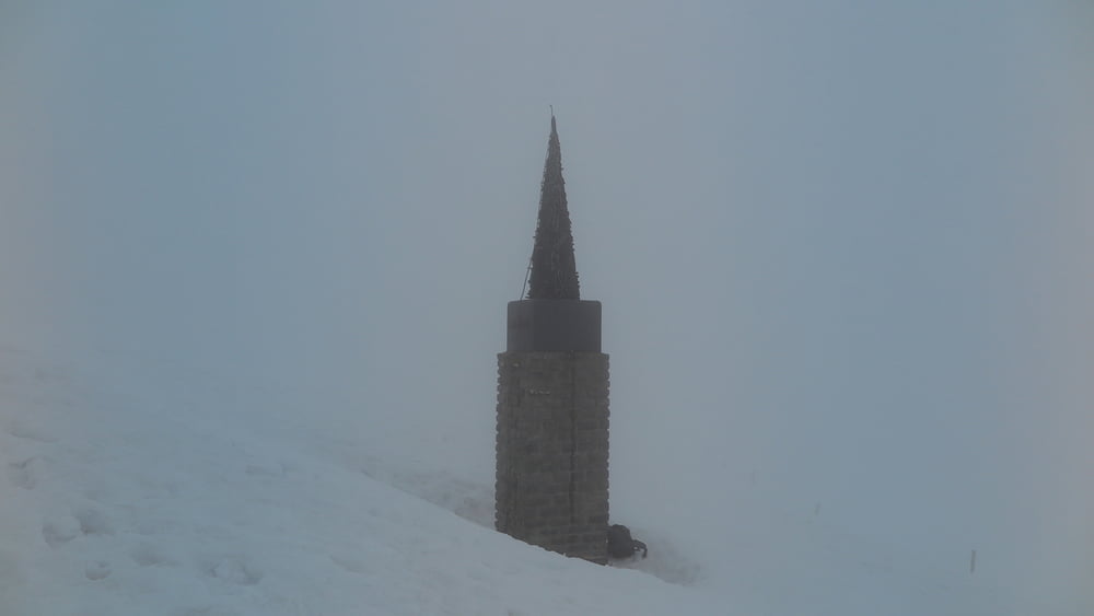
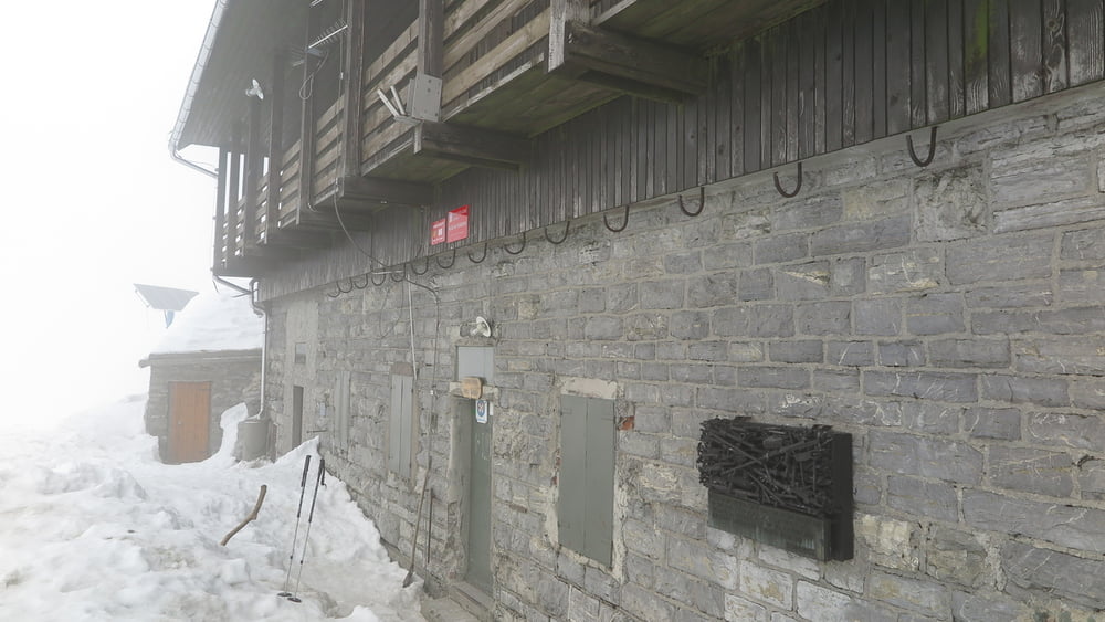
Da hadjuzna, parcheggiare poco prima del sottopasso ferroviario, da li subito le segnalazioni per la cima, sempre ben segnato. Passando dal rifugio si scende sino al sottostante bivio e si segue lungamente la xresta sud per semplice carrareccia sino al paesino di Zakojka. Da questo paesino non ci sono segnalazioni per ritornare a Hudajuzna, percio seguire fedelmente il mio percorso gps.

Galerie du tour

Carte du tour et altitude

  • Open Street Map
  • Google
Minimum height 374 m Maximum height 1631 m Vue de détail

More about the tour author

sioni
Member since 2015

Send private message

Commentaires

Da Most na Soci seguire le indicazioni per Podbrdo. Su questa stretta strada si incontra il paese di Hudajuzna. Entrando in paese girare a dx al primo ponticello e parcheggiare.

Tracks GPS

Trackpoints
  • GPX / Garmin Map Source (gpx) download
  • TCX / Garmin Training Center® (tcx) download
  • CRS / Garmin Training Center® (crs) download
  • Google Earth (kml) download
  • G7ToWin (g7t) download
  • TTQV (trk) download
  • Overlay (ovl) download
  • Fugawi (txt) download
  • Kompass (DAV) Track (tk) download
  • Feuille de tours (pdf) download
  • Original file of the author (gpx) download

More about the tour author

sioni
Member since 2015

Send private message
Share track
Add to my favorites
Remove from my favorites
Edit tags
My score
Rate
Tour: Porezen 1629
Cat.: Raquette
Longueur: 16,9 km
Evaluated on:
Durée:
Day(s)
Hour(s)
Minute(s)
Evaluation: Paysage Aspect amusement Condition Technique