


Ich radelte zuerst einmal auf dem Radweg durch das Bliestal nach Einöd um dann am Sportplatz vorbei in das Pfänderbachtal hineinzufahren. Eine erste Erfrischung gönnte ich mir am Brunnen.
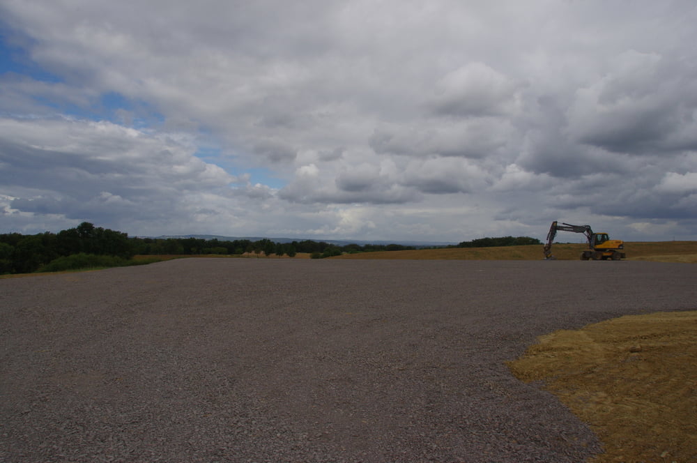
Der weitere Weg führte mich bergan und am Berghof vorbei. Auf dem Höhenzug werden momentan Windkraftanlagen errichtet. Ich befuhr eine Baustraße hoch auf den oberen Kamm um dann weiter zur Kirrberger Ski- und Wanderhütte zu radeln.
Ein kurzes Stück fuhr ich nun auf der L465 um dann nach rechts am Bundeswehrgelände vorbeizuradeln. Ich blieb auf dem Sträßchen das ich bis nach Zweibrücken verfolgte.
Um nicht zu früh zurück zu sein fuhr ich noch den Anstieg zum Waldfriedhof hinauf und dann weiter durch den Wald um dann nach rechts den Weg über Webenheim und Blieskastel und durch das Bliestal zurück zum Ausgangspunkt zu fahren.
Further information at
https://de.wikipedia.org/wiki/WestrichGalerie du tour
Carte du tour et altitude
Minimum height 225 m
Maximum height 386 m
More about the tour author
|
|
Pheinz |
Commentaires

More about the tour author
|
|
Pheinz |
Add to my favorites
Remove from my favorites
Edit tags
Open track
My score
Rate